12900 Wells Fargo St Austin, TX 78737
Estimated Value: $842,000 - $1,046,000
--
Bed
1
Bath
2,800
Sq Ft
$343/Sq Ft
Est. Value
About This Home
This home is located at 12900 Wells Fargo St, Austin, TX 78737 and is currently estimated at $961,129, approximately $343 per square foot. 12900 Wells Fargo St is a home located in Hays County with nearby schools including Dripping Springs Middle School and Dripping Springs High School.
Ownership History
Date
Name
Owned For
Owner Type
Purchase Details
Closed on
Jul 7, 2022
Sold by
Pihut Christine
Bought by
Mycyk Mary and Mycyk Roman
Current Estimated Value
Home Financials for this Owner
Home Financials are based on the most recent Mortgage that was taken out on this home.
Original Mortgage
$207,130
Outstanding Balance
$199,931
Interest Rate
7%
Mortgage Type
Seller Take Back
Estimated Equity
$761,198
Create a Home Valuation Report for This Property
The Home Valuation Report is an in-depth analysis detailing your home's value as well as a comparison with similar homes in the area
Home Values in the Area
Average Home Value in this Area
Purchase History
| Date | Buyer | Sale Price | Title Company |
|---|---|---|---|
| Mycyk Mary | -- | Independence Title |
Source: Public Records
Mortgage History
| Date | Status | Borrower | Loan Amount |
|---|---|---|---|
| Open | Mycyk Mary | $207,130 |
Source: Public Records
Tax History Compared to Growth
Tax History
| Year | Tax Paid | Tax Assessment Tax Assessment Total Assessment is a certain percentage of the fair market value that is determined by local assessors to be the total taxable value of land and additions on the property. | Land | Improvement |
|---|---|---|---|---|
| 2025 | $15,953 | $1,013,360 | $684,970 | $328,390 |
| 2024 | $15,953 | $1,019,940 | $684,970 | $334,970 |
| 2023 | $17,092 | $1,131,900 | $684,970 | $446,930 |
| 2022 | $8,130 | $476,692 | $473,100 | $384,230 |
| 2021 | $8,108 | $433,356 | $143,240 | $364,140 |
| 2020 | $3,854 | $393,960 | $81,850 | $312,110 |
| 2019 | $7,549 | $366,080 | $63,430 | $302,650 |
| 2018 | $7,232 | $348,740 | $63,430 | $285,310 |
| 2017 | $6,832 | $326,990 | $63,430 | $263,560 |
| 2016 | $6,488 | $310,520 | $63,430 | $247,090 |
| 2015 | $3,733 | $297,030 | $63,430 | $233,600 |
Source: Public Records
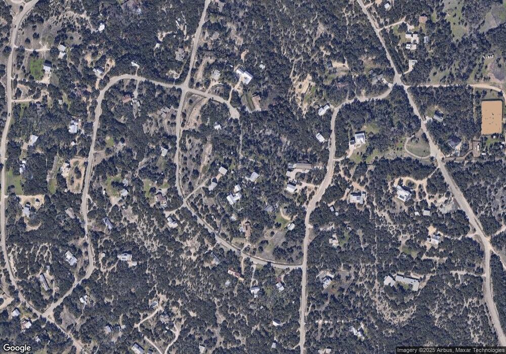
Map
Nearby Homes
- 12904 Wells Fargo St
- 12600 Trail Driver St
- 13590 Paisano Trail
- 13400 Paisano Trail
- 13601 Paisano Trail
- 5 Midnight Sky Dr
- 4 Midnight Sky Dr
- 400 Sundown Ridge
- 13601 Paisano Cir
- 190 Carol Ann Dr
- 12609 Pauls Valley Rd
- 12621 Fitzhugh Rd
- 156 Sea Hero Place
- 301 Sea Hero Place
- 16 Tall Oaks Trail
- 13005 D Fitzhugh Rd
- 14610 Fitzhugh Rd
- 13326 Trautwein Rd
- TBD Fitzhugh Rd
- 12605 Fitzhugh Rd
- 12901 Shoshoni Trail
- 12803 Shoshoni Trail
- 13000 Trail Driver St
- 13066 Trail Driver St
- 12905 Wells Fargo St
- 12904 Wells Fargo Trail
- 12922 Trail Driver St
- 000 Trail Driver St
- 12961 Trail Driver
- 12910 Shoshoni Trail
- 12804 Shoshoni Trail
- 12808 Shoshoni Trail
- 12900 Shoshoni Trail
- 13001 Trail Driver St
- 13061 Trail Driver St
- 12912 Wells Fargo St
- 12912 Wells Fargo Trail
- 12800 Shoshoni Trail
- 13100 Trail Driver St
- 12906 Shoshoni Trail