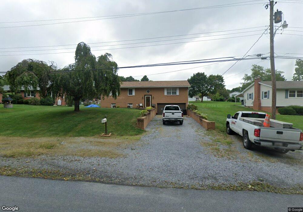
1291 Woodland Pkwy Waynesboro, PA 17268
Estimated Value: $98,961 - $276,000
--
Bed
1
Bath
1,404
Sq Ft
$156/Sq Ft
Est. Value
About This Home
This home is located at 1291 Woodland Pkwy, Waynesboro, PA 17268 and is currently estimated at $218,990, approximately $155 per square foot. 1291 Woodland Pkwy is a home located in Franklin County with nearby schools including Greencastle-Antrim Primary School, Greencastle-Antrim Elementary School, and Greencastle-Antrim Middle School.
Ownership History
Date
Name
Owned For
Owner Type
Purchase Details
Closed on
Jul 29, 2005
Sold by
Martin Carlin D and Eshleman Cheryl L
Bought by
Goins Samuel C and Goins Patty A
Current Estimated Value
Home Financials for this Owner
Home Financials are based on the most recent Mortgage that was taken out on this home.
Original Mortgage
$192,900
Outstanding Balance
$126,765
Interest Rate
9.87%
Mortgage Type
Adjustable Rate Mortgage/ARM
Estimated Equity
$92,225
Create a Home Valuation Report for This Property
The Home Valuation Report is an in-depth analysis detailing your home's value as well as a comparison with similar homes in the area
Home Values in the Area
Average Home Value in this Area
Purchase History
| Date | Buyer | Sale Price | Title Company |
|---|---|---|---|
| Goins Samuel C | $192,900 | None Available | |
| Goins Samuel C | $192,900 | None Available |
Source: Public Records
Mortgage History
| Date | Status | Borrower | Loan Amount |
|---|---|---|---|
| Open | Goins Samuel C | $192,900 | |
| Closed | Goins Samuel C | $192,900 |
Source: Public Records
Tax History Compared to Growth
Tax History
| Year | Tax Paid | Tax Assessment Tax Assessment Total Assessment is a certain percentage of the fair market value that is determined by local assessors to be the total taxable value of land and additions on the property. | Land | Improvement |
|---|---|---|---|---|
| 2025 | $2,886 | $17,250 | $970 | $16,280 |
| 2024 | $2,618 | $17,250 | $970 | $16,280 |
| 2023 | $2,587 | $17,250 | $970 | $16,280 |
| 2022 | $2,587 | $17,250 | $970 | $16,280 |
| 2021 | $2,537 | $17,250 | $970 | $16,280 |
| 2020 | $2,471 | $17,250 | $970 | $16,280 |
| 2019 | $2,415 | $17,250 | $970 | $16,280 |
| 2018 | $2,389 | $17,250 | $970 | $16,280 |
| 2017 | $2,329 | $17,250 | $970 | $16,280 |
| 2016 | $494 | $17,250 | $970 | $16,280 |
| 2015 | $461 | $17,250 | $970 | $16,280 |
| 2014 | $461 | $17,250 | $970 | $16,280 |
Source: Public Records
Map
Nearby Homes
- 15621 Oak Rd
- 1171 1173 Ridgeview Dr
- 171 East Ave
- 128 Hykes Rd E
- 110 Hykes Rd E
- 15444 Pennsylvania Ave
- Lot C3-2 Cedarbrook Dr
- Lot C3-1 Cedarbrook Dr
- 14732 Cedarbrook Dr
- 14799 Cedarbrook Dr
- 1031 Dianne Dr
- 1033 Dianne Dr
- 15480 Wedgewood Dr
- 14501 Molly Pitcher Hwy
- 684 Dresden Cir
- 14108 William Talcott Ln
- 18757 Mesa Terrace
- 19127 Grainary Dr
- 226 Milnor Rd
- 0 Paradise Church Rd Unit MDWA2027834
- 1304 Woodland Pkwy
- 1269 Woodland Pkwy
- 1249 Woodland Pkwy
- 1321 Woodland Pkwy
- 1321 Woodland Pkwy
- 1229 Woodland Pkwy
- 1230 Redwood Dr
- 1222 Redwood Dr
- 0 Woodland Pkwy
- 1346 Woodland Pkwy
- 1210 Redwood Dr
- 1250 Redwood Dr
- 1213 Woodland Pkwy
- 1197 Woodland Pkwy
- 15659 Oak Rd
- 1229 Redwood Dr
- 1186 Redwood Dr
- 1204 Woodland Pkwy
- 1204 Woodland Pkwy
- 2221 Redwood Dr