12914 Woodlark Ln Saint Louis, MO 63131
Estimated Value: $751,000 - $1,372,000
3
Beds
3
Baths
2,849
Sq Ft
$323/Sq Ft
Est. Value
About This Home
This home is located at 12914 Woodlark Ln, Saint Louis, MO 63131 and is currently estimated at $920,484, approximately $323 per square foot. 12914 Woodlark Ln is a home located in St. Louis County with nearby schools including Mason Ridge Elementary School, Parkway West Middle School, and Parkway West High School.
Ownership History
Date
Name
Owned For
Owner Type
Purchase Details
Closed on
May 11, 2005
Sold by
Leicht Judith M and Leicht Fred
Bought by
Leicht Judith M and Leicht Fred
Current Estimated Value
Purchase Details
Closed on
Aug 9, 1999
Sold by
Jasper Judith M and Jasper Judith M
Bought by
Leicht Fred and Leicht Judith M
Create a Home Valuation Report for This Property
The Home Valuation Report is an in-depth analysis detailing your home's value as well as a comparison with similar homes in the area
Home Values in the Area
Average Home Value in this Area
Purchase History
| Date | Buyer | Sale Price | Title Company |
|---|---|---|---|
| Leicht Judith M | -- | -- | |
| Leicht Fred | $225,579 | -- |
Source: Public Records
Mortgage History
| Date | Status | Borrower | Loan Amount |
|---|---|---|---|
| Closed | Leicht Fred | -- |
Source: Public Records
Tax History Compared to Growth
Tax History
| Year | Tax Paid | Tax Assessment Tax Assessment Total Assessment is a certain percentage of the fair market value that is determined by local assessors to be the total taxable value of land and additions on the property. | Land | Improvement |
|---|---|---|---|---|
| 2025 | $6,487 | $118,140 | $82,590 | $35,550 |
| 2024 | $6,487 | $111,510 | $73,400 | $38,110 |
| 2023 | $6,139 | $111,510 | $73,400 | $38,110 |
| 2022 | $5,905 | $97,470 | $82,590 | $14,880 |
| 2021 | $5,856 | $97,470 | $82,590 | $14,880 |
| 2020 | $5,712 | $90,910 | $82,590 | $8,320 |
| 2019 | $5,632 | $90,910 | $82,590 | $8,320 |
| 2018 | $5,404 | $80,640 | $73,400 | $7,240 |
| 2017 | $5,331 | $80,640 | $73,400 | $7,240 |
| 2016 | $4,598 | $66,120 | $64,200 | $1,920 |
| 2015 | $4,846 | $66,120 | $64,200 | $1,920 |
| 2014 | $4,472 | $66,270 | $25,650 | $40,620 |
Source: Public Records
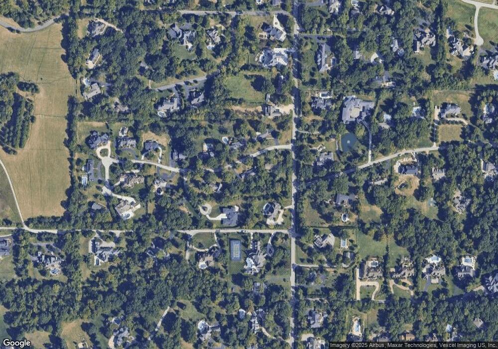
Map
Nearby Homes
- 1515 Topping Rd
- 1824 Topping Rd
- 1652 Mason Knoll Rd
- 12841 Thornhill Ct
- 1473 Mason Valley Rd
- 13354 Thornhill Dr
- 12439 Springdale Ln Unit TBB
- 29a Chapel Hill Estates Dr
- 2211 Viewroyal Dr
- 1536 S Mason Rd
- 831 Minarca Dr
- 2056 N Ballas Rd
- 2062 N Ballas Rd
- The Hawthorne Plan at Ballas Ridge
- The Roclare II Plan at Ballas Ridge
- The Westchester IV Plan at Ballas Ridge
- The Nottingham II Plan at Ballas Ridge
- The Hawthorne II Plan at Ballas Ridge
- 1826 S Mason Rd
- TBB
- 12900 Woodlark Ln
- 12915 Woodlark Ln
- 1623 Topping Rd
- 12920 Woodlark Ln
- 1610 Kriste Ct
- 12921 Woodlark Ln
- 12901 Woodlark Ln
- 12855 Topping Acres
- 12933 Woodlark Ln
- 11 Old Colony Ln
- 1609 Topping Rd
- 10 Brookwood Rd
- 12940 Woodlark Ln
- 12856 Topping Acres St
- 1610 Topping Rd
- 12926 Huntbridge Forest Dr
- 1533 Topping Rd
- 1730 Topping Rd
- 12943 Woodlark Ln
- 1739 Topping Rd