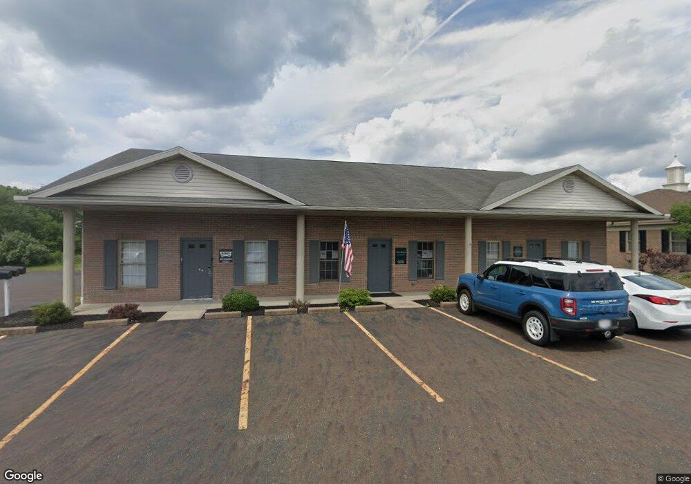
1293 California Ave Unit A Louisville, OH 44641
Estimated Value: $312,830
--
Bed
3
Baths
1,240
Sq Ft
$252/Sq Ft
Est. Value
About This Home
This home is located at 1293 California Ave Unit A, Louisville, OH 44641 and is currently estimated at $312,830, approximately $252 per square foot. 1293 California Ave Unit A is a home located in Stark County with nearby schools including Louisville High School and St. Thomas Aquinas High School & Middle School.
Ownership History
Date
Name
Owned For
Owner Type
Purchase Details
Closed on
Dec 13, 2023
Sold by
Aae Holdings Llc
Bought by
Ponytails Llc
Current Estimated Value
Purchase Details
Closed on
Jun 13, 2013
Sold by
Roberts Margaret A
Bought by
Aae Holdings Llc
Purchase Details
Closed on
Jun 12, 2013
Sold by
Roberts Kenneth R
Bought by
Aae Holdings Llc
Purchase Details
Closed on
Sep 28, 2006
Sold by
Roberts Rebecca Kaye
Bought by
Roberts Kenneth R
Purchase Details
Closed on
Oct 30, 1998
Sold by
Kamp Associated Enterprises
Bought by
Roberts Kenneth R and Roberts Margaret A
Create a Home Valuation Report for This Property
The Home Valuation Report is an in-depth analysis detailing your home's value as well as a comparison with similar homes in the area
Home Values in the Area
Average Home Value in this Area
Purchase History
| Date | Buyer | Sale Price | Title Company |
|---|---|---|---|
| Ponytails Llc | $285,000 | None Listed On Document | |
| Aae Holdings Llc | $112,500 | None Available | |
| Aae Holdings Llc | $112,500 | None Available | |
| Roberts Kenneth R | -- | None Available | |
| Roberts Kenneth R | $65,000 | -- |
Source: Public Records
Tax History Compared to Growth
Tax History
| Year | Tax Paid | Tax Assessment Tax Assessment Total Assessment is a certain percentage of the fair market value that is determined by local assessors to be the total taxable value of land and additions on the property. | Land | Improvement |
|---|---|---|---|---|
| 2025 | -- | $141,090 | $21,560 | $119,530 |
| 2024 | -- | $141,090 | $21,560 | $119,530 |
| 2023 | $5,369 | $103,570 | $31,260 | $72,310 |
| 2022 | $3,264 | $103,570 | $31,260 | $72,310 |
| 2021 | $3,296 | $103,570 | $31,260 | $72,310 |
| 2020 | $4,820 | $98,630 | $29,750 | $68,880 |
| 2019 | $970 | $95,700 | $29,750 | $65,950 |
| 2018 | $4,690 | $95,700 | $29,750 | $65,950 |
| 2017 | $4,928 | $99,350 | $26,710 | $72,640 |
| 2016 | $4,977 | $99,350 | $26,710 | $72,640 |
| 2015 | $973 | $99,350 | $26,710 | $72,640 |
| 2014 | $1,034 | $95,530 | $25,690 | $69,840 |
| 2013 | $2,536 | $95,530 | $25,690 | $69,840 |
Source: Public Records
Map
Nearby Homes
- 1175 Sturbridge Dr
- 1561 Noel St
- 1149 Sturbridge Dr
- 0 Brookridge Ave
- 3580 Brookridge Ave Lot 15
- 6083 Apple St
- 0 Glenbar St
- 248 Menegay Rd
- 524 Glenbar St
- 201 Indiana Ave
- 300 Kennedy St
- 0 Pilot Knob Ave NE
- 414 Honeycrisp Dr NE
- 428 Honeycrisp Dr NE
- 3047 Mcintosh Dr NE
- 432 Honeycrisp Dr NE
- 2962 Mcintosh Dr NE
- 2963 Mcintosh Dr NE
- 430 Honeycrisp Dr NE
- 2957 Mcintosh Dr NE
- 1293 California Ave
- 1303 California Ave
- 5272 California Ave
- 5211 California Ave
- 6464 Crock St
- 5292 California Ave
- 5189 California Ave
- 6442 Crock St
- 5194 California Ave
- 5300 California Ave
- 5180 California Ave
- 5171 California Ave
- 5150 California Ave
- 5320 California Ave
- 5147 California Ave
- 5129 California Ave
- 5132 California Ave
- 0 Atlantic Blvd NE
- 5110 California Ave
- 6606 Reno Dr