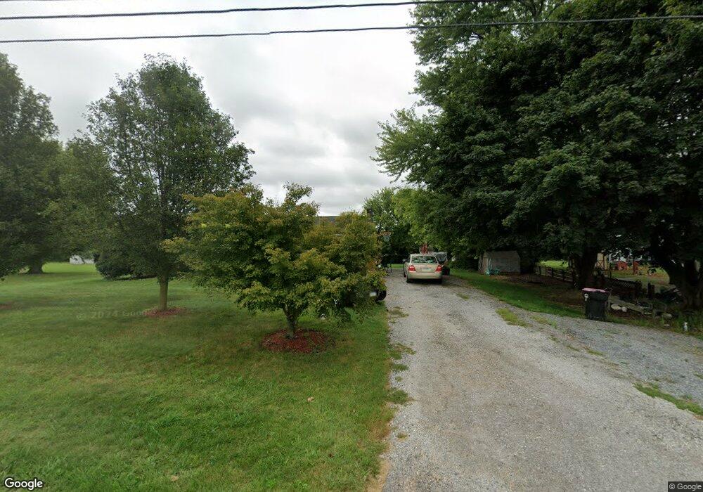
12936 Gearhart Rd Greencastle, PA 17225
Estimated Value: $106,855 - $313,000
3
Beds
1
Bath
1,175
Sq Ft
$201/Sq Ft
Est. Value
About This Home
This home is located at 12936 Gearhart Rd, Greencastle, PA 17225 and is currently estimated at $236,714, approximately $201 per square foot. 12936 Gearhart Rd is a home located in Franklin County with nearby schools including Greencastle-Antrim Primary School, Greencastle-Antrim Elementary School, and Greencastle-Antrim Middle School.
Ownership History
Date
Name
Owned For
Owner Type
Purchase Details
Closed on
Jul 29, 2008
Sold by
Dovey Dean T and Dovey Elizabeth T
Bought by
Speak Robert L and Beers Mellisa S A
Current Estimated Value
Home Financials for this Owner
Home Financials are based on the most recent Mortgage that was taken out on this home.
Original Mortgage
$168,667
Outstanding Balance
$111,081
Interest Rate
6.4%
Mortgage Type
FHA
Estimated Equity
$125,633
Purchase Details
Closed on
Oct 18, 2007
Sold by
Bowman Dawn M and Estate Of Virginia D Simmers
Bought by
Dovey Dean T and Dovey Elizabeth T
Home Financials for this Owner
Home Financials are based on the most recent Mortgage that was taken out on this home.
Original Mortgage
$112,500
Interest Rate
6.51%
Mortgage Type
New Conventional
Create a Home Valuation Report for This Property
The Home Valuation Report is an in-depth analysis detailing your home's value as well as a comparison with similar homes in the area
Home Values in the Area
Average Home Value in this Area
Purchase History
| Date | Buyer | Sale Price | Title Company |
|---|---|---|---|
| Speak Robert L | $192,000 | None Available | |
| Dovey Dean T | $125,000 | None Available |
Source: Public Records
Mortgage History
| Date | Status | Borrower | Loan Amount |
|---|---|---|---|
| Open | Speak Robert L | $168,667 | |
| Previous Owner | Dovey Dean T | $112,500 |
Source: Public Records
Tax History Compared to Growth
Tax History
| Year | Tax Paid | Tax Assessment Tax Assessment Total Assessment is a certain percentage of the fair market value that is determined by local assessors to be the total taxable value of land and additions on the property. | Land | Improvement |
|---|---|---|---|---|
| 2025 | $2,518 | $15,050 | $1,170 | $13,880 |
| 2024 | $2,284 | $15,050 | $1,170 | $13,880 |
| 2023 | $2,257 | $15,050 | $1,170 | $13,880 |
| 2022 | $2,257 | $15,050 | $1,170 | $13,880 |
| 2021 | $2,213 | $15,050 | $1,170 | $13,880 |
| 2020 | $2,156 | $15,050 | $1,170 | $13,880 |
| 2019 | $2,107 | $15,050 | $1,170 | $13,880 |
| 2018 | $2,084 | $15,050 | $1,170 | $13,880 |
| 2017 | $2,032 | $15,050 | $1,170 | $13,880 |
| 2016 | $431 | $15,050 | $1,170 | $13,880 |
| 2015 | $402 | $15,050 | $1,170 | $13,880 |
| 2014 | $402 | $15,050 | $1,170 | $13,880 |
Source: Public Records
Map
Nearby Homes
- 1631 Buchanan Trail E
- 823 Buchanan Trail E
- 1033 Dianne Dr
- 1031 Dianne Dr
- 15365 Wingerton Rd
- 0 Molly Pitcher Hwy Unit PAFL178468
- 0 Molly Pitcher Hwy Unit PAFL2030380
- 0 Molly Pitcher Hwy Unit PAFL178444
- 431 Leitersburg St
- 674 Lohman Ave
- 775 Lohman Ave
- 602 Brookview Dr
- 34.77 Acres Red Oak Estate S
- 271 E Baltimore St
- 1284 State Line Rd
- 14501 Molly Pitcher Hwy
- 14732 Cedarbrook Dr
- 226 Milnor Rd
- 14799 Cedarbrook Dr
- 231 N Allison St Unit 1
- 12964 Gearhart Rd
- 12910 Gearhart Rd
- 12992 Gearhart Rd
- 12886 Gearhart Rd
- 13226 Gearhart Rd
- 12901 Gearhart Rd
- 13162 Gearhart Rd
- 12836 Gearhart Rd
- 13132 Gearhart Rd
- 12778 Gearhart Rd
- 13190 Gearhart Rd
- 12777 Gearhart Rd
- 12943 Gearhart Rd
- 13204 Gearhart Rd
- 13218 Gearhart Rd
- 13240 Gearhart Rd
- 13246 Gearhart Rd
- 13260 Gearhart Rd
- 13272 Gearhart Rd
- 12627 Gearhart Rd