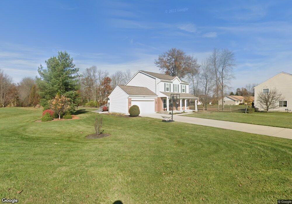
1296 Sandwood Dr Loveland, OH 45140
Estimated Value: $474,000 - $615,000
4
Beds
3
Baths
2,748
Sq Ft
$194/Sq Ft
Est. Value
About This Home
This home is located at 1296 Sandwood Dr, Loveland, OH 45140 and is currently estimated at $534,284, approximately $194 per square foot. 1296 Sandwood Dr is a home located in Clermont County with nearby schools including Marr/Cook Elementary School, Spaulding Elementary School, and Goshen Middle School.
Ownership History
Date
Name
Owned For
Owner Type
Purchase Details
Closed on
Jun 19, 2002
Sold by
Drees Co
Bought by
Harrison Donald B and Harrison Sally J
Current Estimated Value
Home Financials for this Owner
Home Financials are based on the most recent Mortgage that was taken out on this home.
Original Mortgage
$184,857
Outstanding Balance
$70,162
Interest Rate
5.37%
Mortgage Type
New Conventional
Estimated Equity
$464,122
Purchase Details
Closed on
May 18, 1999
Sold by
Lucke Cobblestone and Lucke Joint
Bought by
Drees Co
Create a Home Valuation Report for This Property
The Home Valuation Report is an in-depth analysis detailing your home's value as well as a comparison with similar homes in the area
Home Values in the Area
Average Home Value in this Area
Purchase History
| Date | Buyer | Sale Price | Title Company |
|---|---|---|---|
| Harrison Donald B | $201,707 | -- | |
| Drees Co | $348,000 | -- |
Source: Public Records
Mortgage History
| Date | Status | Borrower | Loan Amount |
|---|---|---|---|
| Open | Harrison Donald B | $184,857 |
Source: Public Records
Tax History Compared to Growth
Tax History
| Year | Tax Paid | Tax Assessment Tax Assessment Total Assessment is a certain percentage of the fair market value that is determined by local assessors to be the total taxable value of land and additions on the property. | Land | Improvement |
|---|---|---|---|---|
| 2024 | $6,829 | $153,130 | $19,290 | $133,840 |
| 2023 | $6,618 | $153,130 | $19,290 | $133,840 |
| 2022 | $5,184 | $105,560 | $13,300 | $92,260 |
| 2021 | $5,215 | $105,560 | $13,300 | $92,260 |
| 2020 | $4,872 | $105,560 | $13,300 | $92,260 |
| 2019 | $4,170 | $86,700 | $13,230 | $73,470 |
| 2018 | $4,187 | $86,700 | $13,230 | $73,470 |
| 2017 | $3,788 | $86,700 | $13,230 | $73,470 |
| 2016 | $3,788 | $73,470 | $11,200 | $62,270 |
| 2015 | $3,407 | $73,470 | $11,200 | $62,270 |
| 2014 | $3,418 | $73,470 | $11,200 | $62,270 |
| 2013 | $2,851 | $63,980 | $12,250 | $51,730 |
Source: Public Records
Map
Nearby Homes
- 6822 Bunkerwood Dr
- 6853 Obannon Bluff
- 1487 Sawgrass Ridge Dr
- 6805 N Clarawill Dr
- Vaquero Plan at Stone Pillars
- Lexington Plan at Stone Pillars
- 1383 Stone Pillars Ct Unit Lot10
- 6769 Park Cir
- 6647 Saddleback Way
- 6874 Clubside Dr
- 6875 Stonehedge Cir
- 6650 Saddleback Way
- 6651 Saddleback Way
- 6651 Saddleback Way Unit Lot13
- 4039 Oakland Hills Dr
- 1333 Cross Creek Dr
- 6646 Gentlewind Ct
- Brookside Plan at Oakridge Estates - Signature Series
- Shaker Run Plan at Oakridge Estates - Signature Series
- Medinah Plan at Oakridge Estates - Signature Series
- 1298 Sandwood Dr
- 7002 Greenstone Trace
- 1294 Sandwood Dr
- 6828 Bunkerwood Dr
- 7004 Greenstone Trace
- 1295 Sandwood Dr
- 1297 Sandwood Dr
- 1292 Sandwood Dr
- 6826 Bunkerwood Dr
- 1299 Sandwood Dr
- 1300 Sandwood Dr
- 1289 Sandwood Dr
- 7006 Greenstone Trace
- 7003 Greenstone Trace
- 6824 Bunkerwood Dr
- 1290 Sandwood Dr
- 6999 Greenstone Trace
- 6999 Greenstone Trace Unit B
- 4100 Ironledge Ct
- 7008 Greenstone Trace