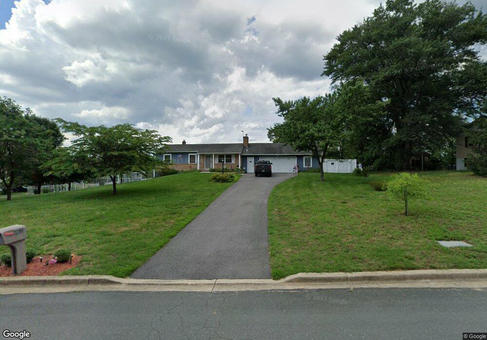
1298 Ashburton Dr Millersville, MD 21108
Estimated Value: $475,605 - $587,000
--
Bed
1
Bath
1,276
Sq Ft
$413/Sq Ft
Est. Value
About This Home
This home is located at 1298 Ashburton Dr, Millersville, MD 21108 and is currently estimated at $526,651, approximately $412 per square foot. 1298 Ashburton Dr is a home located in Anne Arundel County with nearby schools including Millersville Elementary School, Old Mill High School, and Rockbridge Academy.
Ownership History
Date
Name
Owned For
Owner Type
Purchase Details
Closed on
Apr 13, 1999
Sold by
Plotts Harold L
Bought by
Stallings William D and Stallings Beverly M
Current Estimated Value
Purchase Details
Closed on
May 9, 1988
Sold by
Lerch Robert E
Bought by
Plotts Harold L
Home Financials for this Owner
Home Financials are based on the most recent Mortgage that was taken out on this home.
Original Mortgage
$112,000
Interest Rate
10.32%
Create a Home Valuation Report for This Property
The Home Valuation Report is an in-depth analysis detailing your home's value as well as a comparison with similar homes in the area
Home Values in the Area
Average Home Value in this Area
Purchase History
| Date | Buyer | Sale Price | Title Company |
|---|---|---|---|
| Stallings William D | $150,000 | -- | |
| Plotts Harold L | $140,000 | -- |
Source: Public Records
Mortgage History
| Date | Status | Borrower | Loan Amount |
|---|---|---|---|
| Previous Owner | Plotts Harold L | $112,000 | |
| Closed | Stallings William D | -- |
Source: Public Records
Tax History Compared to Growth
Tax History
| Year | Tax Paid | Tax Assessment Tax Assessment Total Assessment is a certain percentage of the fair market value that is determined by local assessors to be the total taxable value of land and additions on the property. | Land | Improvement |
|---|---|---|---|---|
| 2025 | $3,148 | $442,200 | $264,300 | $177,900 |
| 2024 | $3,148 | $421,433 | $0 | $0 |
| 2023 | $3,049 | $400,667 | $0 | $0 |
| 2022 | $2,189 | $379,900 | $222,300 | $157,600 |
| 2021 | $4,661 | $367,767 | $0 | $0 |
| 2020 | $2,226 | $355,633 | $0 | $0 |
| 2019 | $2,653 | $343,500 | $169,300 | $174,200 |
| 2018 | $3,378 | $333,133 | $0 | $0 |
| 2017 | $2,503 | $322,767 | $0 | $0 |
| 2016 | -- | $312,400 | $0 | $0 |
| 2015 | -- | $306,333 | $0 | $0 |
| 2014 | -- | $300,267 | $0 | $0 |
Source: Public Records
Map
Nearby Homes
- 396 Aurora Dr
- 927 Heatherfield Ln
- 1610 Hog Farm Rd
- 762 Cougar Dr
- 771 Generals Hwy
- 397 Charles Hall Dr
- 1513 Chase Hill Dr
- 1525 Winfields Ln
- 820 Annapolis Rd
- 357 Council Oak Dr
- 1536 Winfields Ln
- 405 Ben Oaks Dr W
- 302 Blue Cedar Ct
- 884 Oakdale Cir
- 605, 607 Crain Hwy N
- 630 Cross Chase Dr
- 0 Annapolis Rd Unit MDAA2088728
- 30 Highland Dr
- 8201 Longford Rd
- 328 Council Oak Dr
- 405 Aurora Dr
- 1296 Ashburton Dr
- 408 Aurora Dr
- 403 Aurora Dr
- 409 Aurora Dr
- 406 Aurora Dr
- 1297 Ashburton Dr
- 1294 Ashburton Dr
- 410 Aurora Dr
- 1295 Ashburton Dr
- 1295 Alta Vista Dr
- 1302 Ashburton Ct
- 1291 Ammendale Ct
- 1166 Dicus Mill Rd
- 1289 Ammendale Ct
- 412 Aurora Dr
- 1293 Ammendale Ct
- 1297 Alta Vista Dr
- 1303 Ashburton Ct
- 411 Aurora Dr