13 Beehive Ln Colrain, MA 01340
Colrain NeighborhoodEstimated Value: $262,154 - $329,000
2
Beds
2
Baths
1,367
Sq Ft
$223/Sq Ft
Est. Value
About This Home
This home is located at 13 Beehive Ln, Colrain, MA 01340 and is currently estimated at $304,789, approximately $222 per square foot. 13 Beehive Ln is a home with nearby schools including Mohawk Trail Regional High School.
Ownership History
Date
Name
Owned For
Owner Type
Purchase Details
Closed on
Feb 3, 2023
Sold by
Raymond David W and Raymond Pamela J
Bought by
Raymond David W and Raymond Pamela J
Current Estimated Value
Purchase Details
Closed on
Jan 25, 1989
Sold by
Lagueux Normand
Bought by
Raymond David W
Create a Home Valuation Report for This Property
The Home Valuation Report is an in-depth analysis detailing your home's value as well as a comparison with similar homes in the area
Home Values in the Area
Average Home Value in this Area
Purchase History
| Date | Buyer | Sale Price | Title Company |
|---|---|---|---|
| Raymond David W | -- | None Available | |
| Raymond David W | -- | None Available | |
| Raymond David W | $78,000 | -- |
Source: Public Records
Mortgage History
| Date | Status | Borrower | Loan Amount |
|---|---|---|---|
| Previous Owner | Raymond David W | $30,000 | |
| Previous Owner | Raymond David W | $91,800 | |
| Previous Owner | Raymond David W | $87,000 | |
| Previous Owner | Raymond David W | $79,000 |
Source: Public Records
Tax History Compared to Growth
Tax History
| Year | Tax Paid | Tax Assessment Tax Assessment Total Assessment is a certain percentage of the fair market value that is determined by local assessors to be the total taxable value of land and additions on the property. | Land | Improvement |
|---|---|---|---|---|
| 2025 | $3,301 | $180,800 | $31,100 | $149,700 |
| 2024 | $3,416 | $180,000 | $31,100 | $148,900 |
| 2023 | $3,363 | $171,300 | $31,100 | $140,200 |
| 2022 | $3,432 | $167,600 | $27,400 | $140,200 |
| 2021 | $3,244 | $153,300 | $27,400 | $125,900 |
| 2020 | $3,019 | $151,500 | $27,400 | $124,100 |
| 2019 | $2,845 | $138,300 | $27,400 | $110,900 |
| 2018 | $2,821 | $139,400 | $27,400 | $112,000 |
| 2017 | $2,772 | $140,700 | $27,400 | $113,300 |
| 2016 | $2,649 | $141,800 | $27,400 | $114,400 |
| 2015 | $2,587 | $143,000 | $27,400 | $115,600 |
Source: Public Records
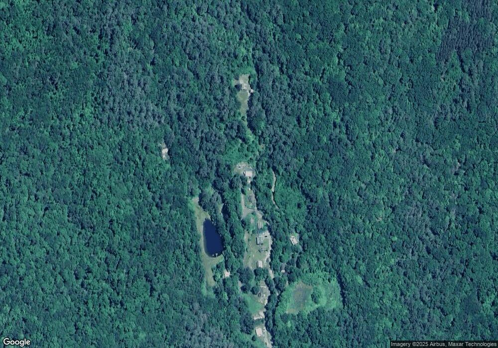
Map
Nearby Homes
- 3+5 Church St
- 66 Reil Ln
- 295 Jacksonville Rd
- 32 Navaho Ln
- 61 Ed Clark Rd
- 0 Jacksonville Rd
- 139 Taylor Brook Rd
- 6 Chippewa Dr
- 0 Fiske Mill Rd
- 2155 Massachusetts 2
- 2151 Route 2
- 1917 Stowe Mountain Rd
- 251 Phillips Hill Rd
- 0 W Oxbow Rd Unit 73453651
- 319 Greenfield Rd
- 6036 Jacksonville Stage Rd
- 829 Pennel Hill Rd
- 24 W Oxbow Rd
- 14 South Rd
- 33 Williams St
- 11 Foundry Village Rd
- 12 Foundry Acres Dr
- 11 Foundry Acres Dr
- 10 Foundry Acres Dr
- 38 York Rd
- 44 York Rd
- 32 Cary Dr
- 8 Foundry Acres Dr
- 34 York Rd
- 6 Cider Mill Rd
- 4 Cider Mill Rd
- 2 Cider Mill Ln
- 7 York Rd
- 6 York Rd
- 63 Foundry Village Rd
- 3 York Rd
- 57 Foundry Village Rd
- 1 York Rd
- 67 Foundry Village Rd
- 55 Foundry Village Rd