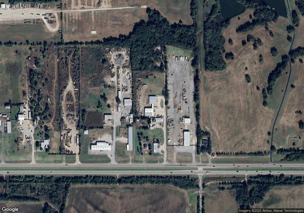
130 Mission Dr Sherman, TX 75092
--
Bed
--
Bath
6,000
Sq Ft
4
Acres
About This Home
This home is located at 130 Mission Dr, Sherman, TX 75092. 130 Mission Dr is a home located in Grayson County with nearby schools including S&S Consolidated Elementary School, S&S Consolidated Middle School, and S. & S. Cons H.S..
Ownership History
Date
Name
Owned For
Owner Type
Purchase Details
Closed on
Nov 13, 2025
Sold by
Cd Morgan Properties Inc
Bought by
Jc Business Park Corporation
Purchase Details
Closed on
Jan 2, 2017
Sold by
Mahon James R and Mahon Sandra G
Bought by
Stik Properties Llc
Home Financials for this Owner
Home Financials are based on the most recent Mortgage that was taken out on this home.
Original Mortgage
$300,000
Interest Rate
4.03%
Mortgage Type
Commercial
Create a Home Valuation Report for This Property
The Home Valuation Report is an in-depth analysis detailing your home's value as well as a comparison with similar homes in the area
Home Values in the Area
Average Home Value in this Area
Purchase History
| Date | Buyer | Sale Price | Title Company |
|---|---|---|---|
| Jc Business Park Corporation | -- | None Listed On Document | |
| Stik Properties Llc | -- | None Available |
Source: Public Records
Mortgage History
| Date | Status | Borrower | Loan Amount |
|---|---|---|---|
| Previous Owner | Stik Properties Llc | $300,000 |
Source: Public Records
Tax History Compared to Growth
Tax History
| Year | Tax Paid | Tax Assessment Tax Assessment Total Assessment is a certain percentage of the fair market value that is determined by local assessors to be the total taxable value of land and additions on the property. | Land | Improvement |
|---|---|---|---|---|
| 2025 | $4,865 | $243,589 | $236,618 | $6,971 |
| 2024 | $4,865 | $243,589 | $236,618 | $6,971 |
| 2023 | $4,871 | $243,589 | $178,073 | $65,516 |
| 2022 | $5,231 | $243,589 | $178,073 | $65,516 |
| 2021 | $5,369 | $225,000 | $90,000 | $135,000 |
| 2020 | $5,502 | $225,000 | $54,000 | $171,000 |
| 2019 | $5,599 | $219,691 | $48,000 | $171,691 |
| 2018 | $5,204 | $219,691 | $48,000 | $171,691 |
| 2017 | $5,153 | $219,336 | $36,000 | $183,336 |
| 2016 | $1,873 | $79,744 | $12,000 | $67,744 |
| 2015 | $0 | $55,094 | $12,000 | $43,094 |
| 2014 | -- | $57,314 | $12,000 | $45,314 |
Source: Public Records
Map
Nearby Homes
- TBD 87 Acres Reynolds Ln
- 2819 Cedar Ridge
- Birchwood G Plan at Canyon Creek Estates
- Telford G Plan at Canyon Creek Estates
- Chesterfield G Plan at Canyon Creek Estates
- Foxleigh G Plan at Canyon Creek Estates
- Millbeck G Plan at Canyon Creek Estates
- Royston G Plan at Canyon Creek Estates
- Appleton G Plan at Canyon Creek Estates
- Ramsey G Plan at Canyon Creek Estates
- Fleetwood G Plan at Canyon Creek Estates
- Canterbury G Plan at Canyon Creek Estates
- Stanley G Plan at Canyon Creek Estates
- 2816 Hillview Ln
- 2809 Hillview Ln
- 2801 La Paloma
- 2808 Hillview Ln
- 2812 La Paloma
- 2712 Hillview Ln
- 2812 Fawnwood Ct
- TBD Mission Dr
- 18987 W Us Highway 82
- TBD Mission Dr A
- 143 Comfort Way Dr
- TBD 148 Acres Us Hwy 82 & Lamberth
- 40 Motors Dr
- 88 Reynolds Ln
- 192 Reynolds Ln
- 19242 Us Hwy 82
- 19242 W Us Highway 82
- 18451 W Us Highway 82
- 600 Gail Hill Ln
- 1.508 Acres Lamberth Rd
- 13.7580 Acres Lamberth Rd
- Miller W Us Highway 82
- tbd Preston Club Dr
- TBD 70 Ac Reynolds Ln
- TBD Reynolds Ln
- 2728 Hillview Ln
- 2728 Hillview Ln