130 Waterside Dr Taylorsville, NC 28681
Lake Hickory NeighborhoodEstimated Value: $647,000 - $1,042,000
2
Beds
3
Baths
2,600
Sq Ft
$325/Sq Ft
Est. Value
About This Home
This home is located at 130 Waterside Dr, Taylorsville, NC 28681 and is currently estimated at $846,007, approximately $325 per square foot. 130 Waterside Dr is a home located in Alexander County with nearby schools including Wittenburg Elementary School, West Alexander Middle School, and Alexander Central High School.
Ownership History
Date
Name
Owned For
Owner Type
Purchase Details
Closed on
Dec 16, 2024
Sold by
Young James T and Young Judy
Bought by
Morrow Ronald Dean and Morrow Shirley Noland
Current Estimated Value
Home Financials for this Owner
Home Financials are based on the most recent Mortgage that was taken out on this home.
Original Mortgage
$425,000
Outstanding Balance
$421,651
Interest Rate
6.78%
Mortgage Type
New Conventional
Estimated Equity
$424,356
Purchase Details
Closed on
Feb 6, 2017
Purchase Details
Closed on
Jun 27, 2014
Sold by
Pearsall Arthur H and Hayes Vickie L
Bought by
Hash Albert Leonard and Hash Doris R
Create a Home Valuation Report for This Property
The Home Valuation Report is an in-depth analysis detailing your home's value as well as a comparison with similar homes in the area
Home Values in the Area
Average Home Value in this Area
Purchase History
| Date | Buyer | Sale Price | Title Company |
|---|---|---|---|
| Morrow Ronald Dean | $900,000 | None Listed On Document | |
| -- | $217,500 | None Available | |
| Hash Albert Leonard | $170,000 | None Available |
Source: Public Records
Mortgage History
| Date | Status | Borrower | Loan Amount |
|---|---|---|---|
| Open | Morrow Ronald Dean | $425,000 |
Source: Public Records
Tax History Compared to Growth
Tax History
| Year | Tax Paid | Tax Assessment Tax Assessment Total Assessment is a certain percentage of the fair market value that is determined by local assessors to be the total taxable value of land and additions on the property. | Land | Improvement |
|---|---|---|---|---|
| 2025 | $4,710 | $649,605 | $155,776 | $493,829 |
| 2024 | $4,729 | $649,605 | $155,776 | $493,829 |
| 2023 | $3,978 | $537,090 | $155,776 | $381,314 |
| 2022 | $3,792 | $436,847 | $141,615 | $295,232 |
| 2021 | $3,802 | $436,847 | $141,615 | $295,232 |
| 2020 | $3,704 | $436,847 | $141,615 | $295,232 |
| 2019 | $3,704 | $436,847 | $141,615 | $295,232 |
| 2018 | $1,916 | $436,847 | $141,615 | $295,232 |
| 2017 | $1,334 | $159,228 | $141,615 | $17,613 |
| 2016 | $1,350 | $161,070 | $141,615 | $19,455 |
| 2015 | $1,350 | $161,070 | $141,615 | $19,455 |
| 2014 | $1,350 | $105,689 | $90,616 | $15,073 |
| 2012 | -- | $105,689 | $90,616 | $15,073 |
Source: Public Records
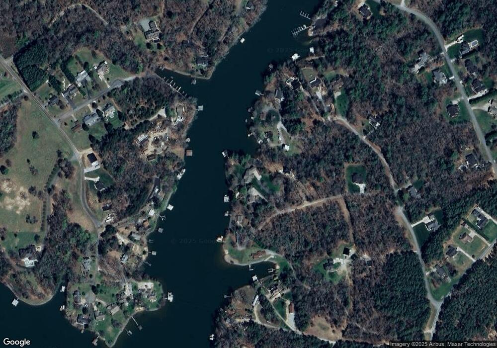
Map
Nearby Homes
- 9 Tadpole Ln
- 51 Windsor Dr
- 00 Crappie Hollow Ln
- 171 Houston Loop
- 287 Wildlife Club Ln
- 61 Island Pointe Ct
- 1470 River Hills Ct
- 7133 Church Rd
- 4506 Rink Dam Rd
- 00 Goose Creek Dr
- 00 Goose Creek Dr Unit LotWP001
- 120 Harbor Town Dr
- 54 Cove Crest Dr
- 34 Colts Neck Ln
- 6212 Hayden Dr
- 0 Lake Forest Dr Unit CAR4265373
- 4202 54th Ave NE
- 4164 54th Ave NE
- 656 Wood Hollow Rd
- 3733 Whitney Dr NE
- 130 Waterside Dr Unit 271
- 146 Waterside Dr
- 112 Waterside Dr
- 345 Tadpole Ln
- 188 Waterside Dr
- 333 Tadpole Ln
- 351 Tadpole Ln
- 175 Fishermans Cove Ln
- 0 Fishermans Cove Ln
- 195 Maple Cove Ln
- 375 Tadpole Ln
- 135 Fishermans Cove Ln
- 74 Crappie Cove Ln
- 187 Fishermans Cove Ln
- 187 Fishermans Cove Ln
- 284 Tadpole Ln
- Lot 1 & 2 Candlewick Cove Dr Unit 1 & 2
- 58 Crappie Cove Ln
- 276 Tadpole Ln
- 42 Waterside Dr