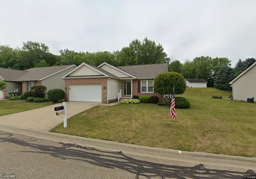
1300 Presidents St Unit 4 Louisville, OH 44641
Estimated Value: $264,000 - $300,000
2
Beds
2
Baths
1,560
Sq Ft
$181/Sq Ft
Est. Value
About This Home
This home is located at 1300 Presidents St Unit 4, Louisville, OH 44641 and is currently estimated at $282,654, approximately $181 per square foot. 1300 Presidents St Unit 4 is a home located in Stark County with nearby schools including Louisville High School and St. Thomas Aquinas High School & Middle School.
Ownership History
Date
Name
Owned For
Owner Type
Purchase Details
Closed on
Oct 1, 2012
Sold by
Linton Jean A and Hill Lois
Bought by
Linton Jean A and Hill Lois
Current Estimated Value
Purchase Details
Closed on
Jun 16, 2003
Sold by
Obrien Lumber & Construction Co
Bought by
Moore Donald L and Moore Ruth S
Create a Home Valuation Report for This Property
The Home Valuation Report is an in-depth analysis detailing your home's value as well as a comparison with similar homes in the area
Home Values in the Area
Average Home Value in this Area
Purchase History
| Date | Buyer | Sale Price | Title Company |
|---|---|---|---|
| Linton Jean A | -- | None Available | |
| Moore Donald L | $164,000 | -- |
Source: Public Records
Tax History Compared to Growth
Tax History
| Year | Tax Paid | Tax Assessment Tax Assessment Total Assessment is a certain percentage of the fair market value that is determined by local assessors to be the total taxable value of land and additions on the property. | Land | Improvement |
|---|---|---|---|---|
| 2025 | -- | $93,350 | $16,210 | $77,140 |
| 2024 | -- | $93,350 | $16,210 | $77,140 |
| 2023 | $2,786 | $74,000 | $12,570 | $61,430 |
| 2022 | $2,810 | $74,000 | $12,570 | $61,430 |
| 2021 | $2,818 | $74,000 | $12,570 | $61,430 |
| 2020 | $2,310 | $67,000 | $11,310 | $55,690 |
| 2019 | $2,326 | $67,000 | $11,310 | $55,690 |
| 2018 | $2,317 | $67,000 | $11,310 | $55,690 |
| 2017 | $1,966 | $56,420 | $10,500 | $45,920 |
| 2016 | $2,006 | $56,420 | $10,500 | $45,920 |
| 2015 | $2,012 | $56,420 | $10,500 | $45,920 |
| 2014 | $18 | $53,210 | $11,100 | $42,110 |
| 2013 | $1,013 | $53,210 | $11,100 | $42,110 |
Source: Public Records
Map
Nearby Homes
- 641 S Nickelplate St
- 908 Sand Lot Cir
- 520 S Silver St
- 728 E Broad St
- 1715 High St
- 308 Superior St
- 1812 E Broad St
- 2110 Edmar St
- 510 S Bauman Ct
- 204 E Broad St
- 107 E Broad St
- 1702 View Pointe Ave
- 1639 Horizon Dr
- 0 Michigan Blvd
- 3390 Meese Rd NE
- 325 Lincoln Ave
- 8225 Georgetown St
- 2015 E Main St
- 1170 Winding Ridge Ave
- 910 Crosswyck Cir
- 1306 Presidents St Unit 5
- 1218 Presidents St Unit 3
- 1312 Presidents St Unit 6
- 1210 Presidents St Unit 2
- 1202 Presidents St Unit 1
- 1308 S Nickelplate St
- 1224 Edmar St
- 1306 Edmar St
- 1324 Presidents St Unit 8
- 1214 Edmar St
- 1316 Edmar St
- 37 Presidents St
- 1330 Presidents St Unit 9
- 1204 Edmar St
- 1403 Presidents St
- 1400 Edmar St
- 1409 Presidents St Unit 12
- 1223 Edmar St
- 1307 Edmar St
- 1215 Edmar St