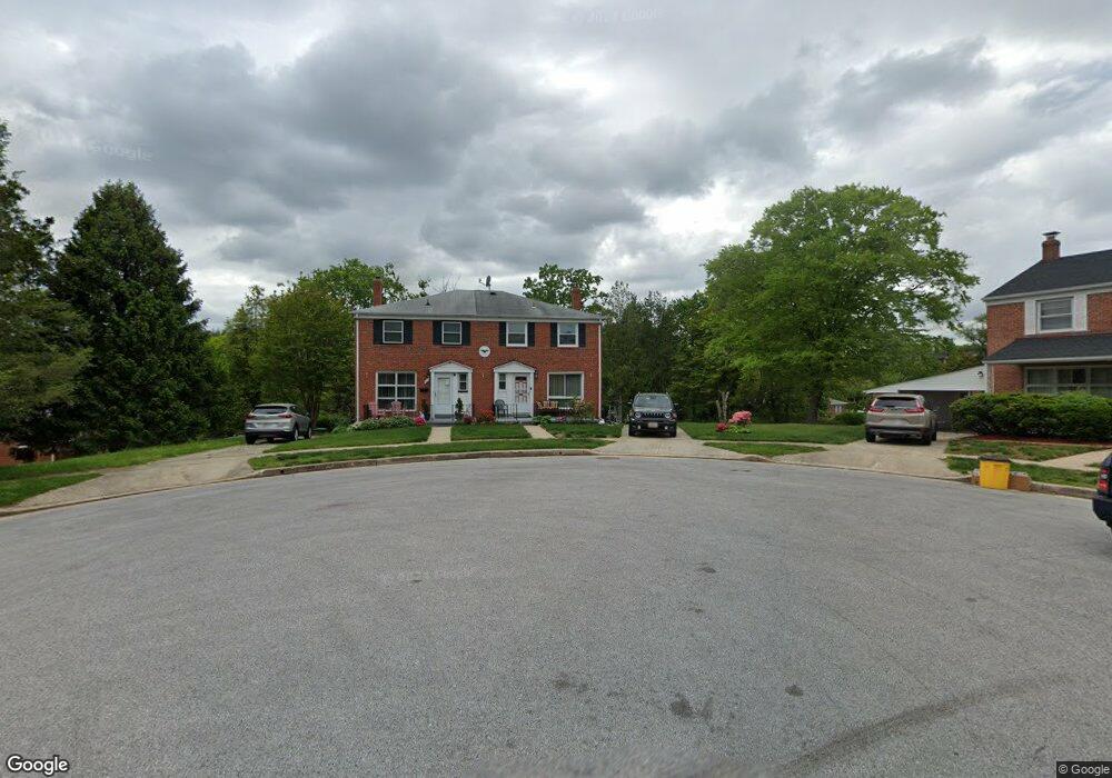
1301 Crownfield Ct Baltimore, MD 21239
Estimated Value: $238,000 - $294,000
--
Bed
2
Baths
1,280
Sq Ft
$207/Sq Ft
Est. Value
About This Home
This home is located at 1301 Crownfield Ct, Baltimore, MD 21239 and is currently estimated at $264,855, approximately $206 per square foot. 1301 Crownfield Ct is a home located in Baltimore County with nearby schools including Halstead Academy, Loch Raven Technical Academy, and Towson High Law & Public Policy.
Ownership History
Date
Name
Owned For
Owner Type
Purchase Details
Closed on
Sep 9, 1997
Sold by
Graf Betty
Bought by
Denson Jeffrey
Current Estimated Value
Purchase Details
Closed on
Apr 17, 1997
Sold by
Graf Charles William
Bought by
Graf Betty
Purchase Details
Closed on
Dec 14, 1995
Sold by
Graf Conrad
Bought by
Graf Charles William
Create a Home Valuation Report for This Property
The Home Valuation Report is an in-depth analysis detailing your home's value as well as a comparison with similar homes in the area
Home Values in the Area
Average Home Value in this Area
Purchase History
| Date | Buyer | Sale Price | Title Company |
|---|---|---|---|
| Denson Jeffrey | $97,000 | -- | |
| Graf Betty | $70,000 | -- | |
| Graf Charles William | -- | -- |
Source: Public Records
Tax History Compared to Growth
Tax History
| Year | Tax Paid | Tax Assessment Tax Assessment Total Assessment is a certain percentage of the fair market value that is determined by local assessors to be the total taxable value of land and additions on the property. | Land | Improvement |
|---|---|---|---|---|
| 2025 | $3,196 | $210,400 | $80,000 | $130,400 |
| 2024 | $3,196 | $201,400 | $0 | $0 |
| 2023 | $1,629 | $192,400 | $0 | $0 |
| 2022 | $2,992 | $183,400 | $80,000 | $103,400 |
| 2021 | $2,836 | $178,400 | $0 | $0 |
| 2020 | $2,836 | $173,400 | $0 | $0 |
| 2019 | $2,660 | $168,400 | $80,000 | $88,400 |
| 2018 | $2,518 | $165,700 | $0 | $0 |
| 2017 | $2,634 | $163,000 | $0 | $0 |
| 2016 | $2,989 | $160,300 | $0 | $0 |
| 2015 | $2,989 | $160,300 | $0 | $0 |
| 2014 | $2,989 | $160,300 | $0 | $0 |
Source: Public Records
Map
Nearby Homes
- 6702 Queens Ferry Rd
- 1204 Saint Andrews Way
- 1108 Litchfield Rd
- 703 Hillen Rd
- 701 Hillen Rd
- 6931 Summit Cir
- 6923 Summit Cir
- 908 Stevenson Ln
- 1211 Dalton Rd
- 1304 Dartmouth Ave
- 1316 Dartmouth Ave
- 1602 Glen Keith Blvd
- 1641 Cottage Ln
- 12 Stone Ridge Ct
- 6415 Falkirk Rd
- 28 Stone Ridge Ct
- 8217 Pleasant Plains Rd
- 1552 Cottage Ln
- 1405 Putty Hill Ave
- 1331 Dalton Rd
- 1303 Crownfield Ct
- 1300 Crownfield Ct
- 1303 Glenmont Rd
- 6807 Barnett Rd
- 1301 Glenmont Rd
- 6809 Barnett Rd
- 6805 Barnett Rd
- 1305 Glenmont Rd
- 1302 Crownfield Ct
- 6803 Barnett Rd
- 6811 Barnett Rd
- 6801 Barnett Rd
- 1307 Glenmont Rd
- 6822 Queens Ferry Rd
- 1301 Kensal Ct
- 6816 Queens Ferry Rd
- 6813 Barnett Rd
- 6826 Queens Ferry Rd
- 6815 Barnett Rd
- 6818 Queens Ferry Rd