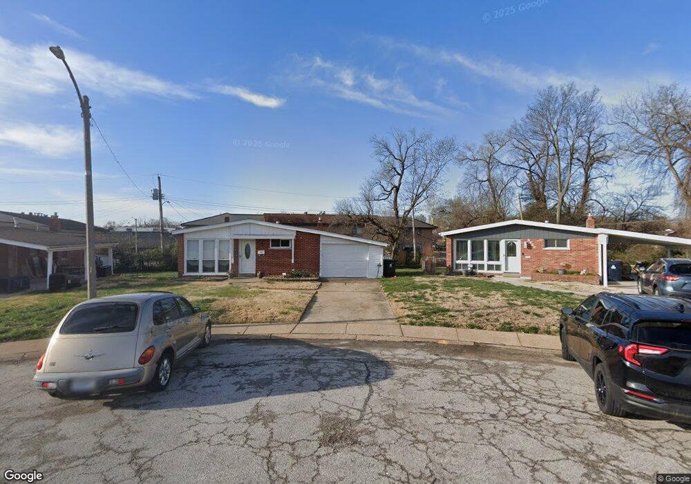
1301 Rushmore Dr Saint Louis, MO 63130
Estimated Value: $147,560 - $190,000
2
Beds
2
Baths
1,134
Sq Ft
$150/Sq Ft
Est. Value
About This Home
This home is located at 1301 Rushmore Dr, Saint Louis, MO 63130 and is currently estimated at $170,390, approximately $150 per square foot. 1301 Rushmore Dr is a home located in St. Louis County with nearby schools including Barbara C. Jordan Elementary School, Brittany Woods Middle School, and University City High School.
Ownership History
Date
Name
Owned For
Owner Type
Purchase Details
Closed on
Feb 26, 1999
Sold by
Mcbride & Son Homes Inc
Bought by
Shapiro Margaret M
Current Estimated Value
Purchase Details
Closed on
Oct 8, 1998
Sold by
Evans Ronald
Bought by
Evans Dale R and Blackman Dale Evans
Home Financials for this Owner
Home Financials are based on the most recent Mortgage that was taken out on this home.
Original Mortgage
$45,000
Interest Rate
6.61%
Create a Home Valuation Report for This Property
The Home Valuation Report is an in-depth analysis detailing your home's value as well as a comparison with similar homes in the area
Home Values in the Area
Average Home Value in this Area
Purchase History
| Date | Buyer | Sale Price | Title Company |
|---|---|---|---|
| Shapiro Margaret M | -- | -- | |
| Evans Dale R | -- | -- | |
| Evans Ronald | $45,000 | -- |
Source: Public Records
Mortgage History
| Date | Status | Borrower | Loan Amount |
|---|---|---|---|
| Previous Owner | Evans Ronald | $45,000 |
Source: Public Records
Tax History Compared to Growth
Tax History
| Year | Tax Paid | Tax Assessment Tax Assessment Total Assessment is a certain percentage of the fair market value that is determined by local assessors to be the total taxable value of land and additions on the property. | Land | Improvement |
|---|---|---|---|---|
| 2025 | $1,816 | $33,710 | $4,730 | $28,980 |
| 2024 | $1,816 | $25,070 | $2,190 | $22,880 |
| 2023 | $1,814 | $25,070 | $2,190 | $22,880 |
| 2022 | $1,715 | $22,060 | $3,270 | $18,790 |
| 2021 | $1,698 | $22,060 | $3,270 | $18,790 |
| 2020 | $1,549 | $19,550 | $3,630 | $15,920 |
| 2019 | $1,534 | $19,550 | $3,630 | $15,920 |
| 2018 | $1,485 | $17,480 | $3,270 | $14,210 |
| 2017 | $1,488 | $17,480 | $3,270 | $14,210 |
| 2016 | $1,417 | $15,910 | $2,910 | $13,000 |
| 2015 | $1,423 | $15,910 | $2,910 | $13,000 |
| 2014 | -- | $13,950 | $2,850 | $11,100 |
Source: Public Records
Map
Nearby Homes
- 1319 Rushmore Dr
- 8003 Briar Ct
- 1349 Rushmore Dr
- 1323 Fairview Ave
- 1237 Fairview Ave
- 8034 Appleton Dr
- 8370 Orchard Ave
- 1459 Lyndale Ave
- 1432 Tamerton Ave
- 1276 N and Rd S
- 955 Mulberry Ln
- 8362 Braddock Dr
- 7742 Elene Ave
- 7831 Trenton Ave
- 7576 Melrose Ave
- 946 Abbeville Dr
- 8364 Fullerton Ave
- 1437 Coolidge Dr
- 8259 Paramount Dr
- 8312 Old Bonhomme Rd
- 8016 Briar Ct
- 1305 Rushmore Dr
- 8012 Briar Ct
- 1309 Rushmore Dr
- 1234 Hafner Place
- 1315 Rushmore Dr
- 8008 Briar Ct
- 1238 Hafner Place
- 1242 Hafner Place
- 8015 Briar Ct
- 1246 Hafner Place
- 8011 Briar Ct
- 8004 Briar Ct
- 1250 Hafner Place
- 1230 Hafner Place
- 1323 Rushmore Dr
- 1258 Hafner Place
- 8007 Briar Ct
- 8001 Briar Ct
- 8000 Briar Ct