13020 Trails End Austin, TX 78737
Estimated Value: $814,000 - $1,035,000
--
Bed
--
Bath
2,584
Sq Ft
$350/Sq Ft
Est. Value
About This Home
This home is located at 13020 Trails End, Austin, TX 78737 and is currently estimated at $904,562, approximately $350 per square foot. 13020 Trails End is a home located in Hays County with nearby schools including Dripping Springs Middle School and Dripping Springs High School.
Ownership History
Date
Name
Owned For
Owner Type
Purchase Details
Closed on
Jan 11, 2024
Sold by
Clevenger Robert W and Clevenger Donna
Bought by
Clevenger Revocable Trust and Clevenger
Current Estimated Value
Purchase Details
Closed on
Mar 18, 2019
Sold by
Betts Christopher A and Betts Cathy A
Bought by
Clevenger Robert W and Clevenger Donna
Purchase Details
Closed on
Mar 7, 2005
Sold by
Monforte David J and Monforte Cathleen M
Bought by
Betts Christopher A and Betts Cathy A
Home Financials for this Owner
Home Financials are based on the most recent Mortgage that was taken out on this home.
Original Mortgage
$85,405
Interest Rate
5.62%
Mortgage Type
Purchase Money Mortgage
Purchase Details
Closed on
Mar 26, 1996
Sold by
Concan Realty Co
Bought by
Betts Christopher and Betts Cathy
Create a Home Valuation Report for This Property
The Home Valuation Report is an in-depth analysis detailing your home's value as well as a comparison with similar homes in the area
Home Values in the Area
Average Home Value in this Area
Purchase History
| Date | Buyer | Sale Price | Title Company |
|---|---|---|---|
| Clevenger Revocable Trust | -- | None Listed On Document | |
| Clevenger Robert W | -- | None Available | |
| Betts Christopher A | -- | Gracy Title Co | |
| Betts Christopher | -- | -- |
Source: Public Records
Mortgage History
| Date | Status | Borrower | Loan Amount |
|---|---|---|---|
| Previous Owner | Betts Christopher A | $85,405 |
Source: Public Records
Tax History Compared to Growth
Tax History
| Year | Tax Paid | Tax Assessment Tax Assessment Total Assessment is a certain percentage of the fair market value that is determined by local assessors to be the total taxable value of land and additions on the property. | Land | Improvement |
|---|---|---|---|---|
| 2025 | $5,291 | $658,714 | -- | -- |
| 2024 | $5,291 | $598,831 | $516,910 | $426,800 |
| 2023 | $8,220 | $544,392 | $516,910 | $585,800 |
| 2022 | $8,441 | $494,902 | $116,430 | $587,470 |
| 2021 | $8,417 | $449,911 | $116,430 | $351,480 |
| 2020 | $6,975 | $409,010 | $77,620 | $331,390 |
| 2019 | $7,949 | $385,480 | $64,120 | $321,360 |
| 2018 | $7,612 | $367,060 | $64,120 | $302,940 |
| 2017 | $7,495 | $358,700 | $64,120 | $294,580 |
| 2016 | $7,110 | $340,280 | $64,120 | $276,160 |
| 2015 | $6,575 | $341,240 | $80,150 | $261,090 |
Source: Public Records
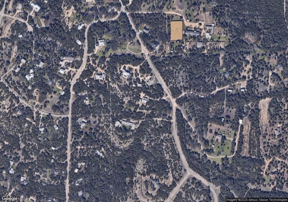
Map
Nearby Homes
- 12904 Wells Fargo St
- 400 Sundown Ridge
- 12600 Trail Driver St
- 13590 Paisano Trail
- 12621 Fitzhugh Rd
- 13601 Paisano Trail
- 13400 Paisano Trail
- 5 Midnight Sky Dr
- 4 Midnight Sky Dr
- 16 Tall Oaks Trail
- 190 Carol Ann Dr
- 13601 Paisano Cir
- 156 Sea Hero Place
- 301 Sea Hero Place
- 12609 Pauls Valley Rd
- 13005 D Fitzhugh Rd
- 14610 Fitzhugh Rd
- 12605 Fitzhugh Rd
- 11809 Oak Branch Dr
- TBD Fitzhugh Rd
- 13100 Trails End
- 13000 Trails End
- 13000 Trail End
- 13061 Trail Driver St
- 13001 Trail Driver St
- 13140 Trails End
- 13101 Trail Driver St
- 13111 Trail Driver St
- 12901 Trail Driver St
- 12909 Trails End
- 12961 Trail Driver
- 000 Trail Driver St
- 13400 Trail Driver
- 420 Sundown Ridge
- 13115 Trail Driver
- 13000 Trail Driver St
- 12999 Trails End
- 12922 Trail Driver St
- 13100 Trail Driver St
- 12975 Trails End