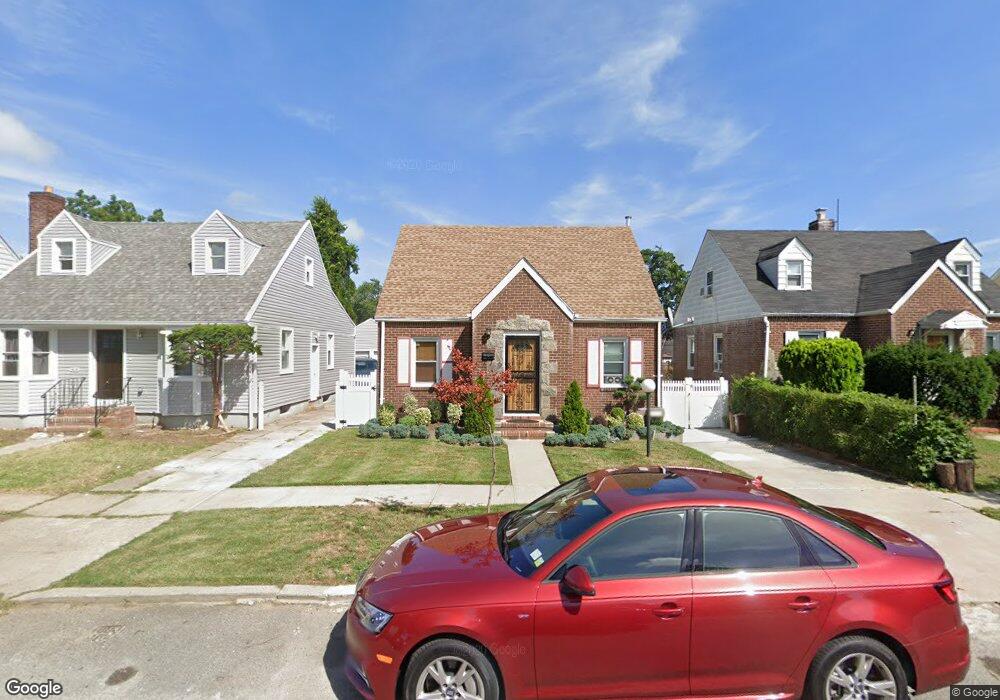
13029 217th St Springfield Gardens, NY 11413
Laurelton NeighborhoodEstimated Value: $636,000 - $724,000
--
Bed
--
Bath
1,043
Sq Ft
$668/Sq Ft
Est. Value
About This Home
This home is located at 13029 217th St, Springfield Gardens, NY 11413 and is currently estimated at $697,040, approximately $668 per square foot. 13029 217th St is a home located in Queens County with nearby schools including P.S. 132 - Ralph Bunche, Is 59 Springfield Gardens, and Success Academy Springfield Gardens.
Ownership History
Date
Name
Owned For
Owner Type
Purchase Details
Closed on
Nov 21, 1994
Sold by
Mincey Ingrid and Mincey Carey
Bought by
Smith Stephen and Smith Althea
Current Estimated Value
Home Financials for this Owner
Home Financials are based on the most recent Mortgage that was taken out on this home.
Original Mortgage
$155,800
Interest Rate
9.19%
Create a Home Valuation Report for This Property
The Home Valuation Report is an in-depth analysis detailing your home's value as well as a comparison with similar homes in the area
Home Values in the Area
Average Home Value in this Area
Purchase History
| Date | Buyer | Sale Price | Title Company |
|---|---|---|---|
| Smith Stephen | $164,000 | First American Title Ins Co |
Source: Public Records
Mortgage History
| Date | Status | Borrower | Loan Amount |
|---|---|---|---|
| Previous Owner | Smith Stephen | $155,800 |
Source: Public Records
Tax History Compared to Growth
Tax History
| Year | Tax Paid | Tax Assessment Tax Assessment Total Assessment is a certain percentage of the fair market value that is determined by local assessors to be the total taxable value of land and additions on the property. | Land | Improvement |
|---|---|---|---|---|
| 2025 | $6,166 | $30,931 | $9,247 | $21,684 |
| 2024 | $6,166 | $30,698 | $10,991 | $19,707 |
| 2023 | $5,817 | $28,961 | $8,827 | $20,134 |
| 2022 | $5,454 | $38,520 | $12,180 | $26,340 |
| 2021 | $5,425 | $34,560 | $12,180 | $22,380 |
| 2020 | $5,456 | $32,400 | $12,180 | $20,220 |
| 2019 | $5,352 | $33,660 | $12,180 | $21,480 |
| 2018 | $4,920 | $24,134 | $11,288 | $12,846 |
| 2017 | $4,641 | $22,768 | $11,584 | $11,184 |
| 2016 | $4,294 | $22,768 | $11,584 | $11,184 |
| 2015 | $2,720 | $22,062 | $12,591 | $9,471 |
| 2014 | $2,720 | $22,062 | $12,372 | $9,690 |
Source: Public Records
Map
Nearby Homes
- 130-25 217th St
- 13049 217th St
- 13024 Springfield Blvd
- 19332 Williamson Ave
- 21827 130th Ave
- 122-52 Springfield Blvd
- 21924 130th Dr
- 130-45 220th St
- 192-17 Williamson Ave
- 194-01 Nashville Blvd
- 19401 Nashville Blvd
- 22014 130th Ave
- 22014 130th Ave
- 21917 132nd Rd
- 19115 Williamson Ave
- 121-17 196th St
- 194-09 122nd Ave
- 121-16 198th St
- 21931 133rd Ave
- 130-55 222nd St
- 13033 217th St
- 13025 217th St
- 130-49 217th St
- 130-33 217th St
- 130-25 217th St
- 130-25 217th St
- 130-25 217th St
- 130-25 217th St
- 130-25 217th St
- 13037 217th St
- 13021 217th St
- 13030 218th St
- 13034 218th St
- 13026 218th St
- 13041 217th St
- 13017 217th St
- 13038 218th St
- 130-22 218th St
- 13022 218th St
- 13022 218th St