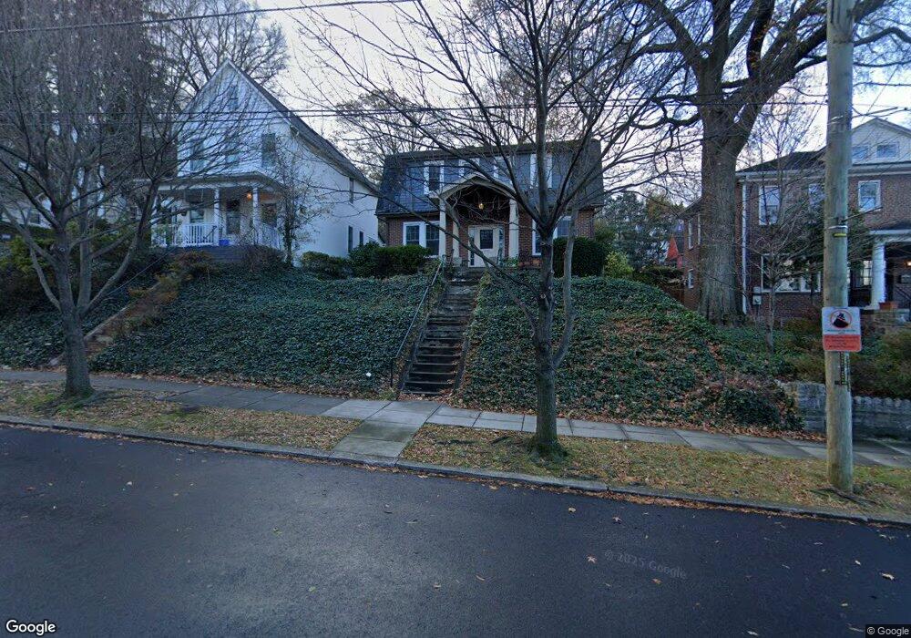
1307 Quincy St NE Washington, DC 20017
Brookland NeighborhoodEstimated Value: $542,000 - $1,035,000
3
Beds
3
Baths
1,518
Sq Ft
$531/Sq Ft
Est. Value
About This Home
This home is located at 1307 Quincy St NE, Washington, DC 20017 and is currently estimated at $805,873, approximately $530 per square foot. 1307 Quincy St NE is a home located in District of Columbia with nearby schools including Bunker Hill Elementary School, Brookland Middle School, and Dunbar High School.
Ownership History
Date
Name
Owned For
Owner Type
Purchase Details
Closed on
Nov 29, 1995
Sold by
Wallace Margaret
Bought by
Bullock Tracie J
Current Estimated Value
Home Financials for this Owner
Home Financials are based on the most recent Mortgage that was taken out on this home.
Original Mortgage
$149,745
Outstanding Balance
$1,027
Interest Rate
7.37%
Estimated Equity
$804,846
Create a Home Valuation Report for This Property
The Home Valuation Report is an in-depth analysis detailing your home's value as well as a comparison with similar homes in the area
Home Values in the Area
Average Home Value in this Area
Purchase History
| Date | Buyer | Sale Price | Title Company |
|---|---|---|---|
| Bullock Tracie J | $151,000 | -- |
Source: Public Records
Mortgage History
| Date | Status | Borrower | Loan Amount |
|---|---|---|---|
| Open | Bullock Tracie J | $149,745 |
Source: Public Records
Tax History Compared to Growth
Tax History
| Year | Tax Paid | Tax Assessment Tax Assessment Total Assessment is a certain percentage of the fair market value that is determined by local assessors to be the total taxable value of land and additions on the property. | Land | Improvement |
|---|---|---|---|---|
| 2025 | $5,697 | $760,070 | $446,390 | $313,680 |
| 2024 | $5,480 | $731,800 | $432,670 | $299,130 |
| 2023 | $5,126 | $705,350 | $421,970 | $283,380 |
| 2022 | $4,705 | $632,270 | $372,880 | $259,390 |
| 2021 | $4,544 | $611,360 | $367,360 | $244,000 |
| 2020 | $4,136 | $589,840 | $349,160 | $240,680 |
| 2019 | $3,766 | $564,100 | $331,020 | $233,080 |
| 2018 | $3,435 | $550,370 | $0 | $0 |
| 2017 | $3,130 | $533,680 | $0 | $0 |
| 2016 | $2,851 | $466,170 | $0 | $0 |
| 2015 | $2,594 | $442,460 | $0 | $0 |
| 2014 | $2,368 | $380,370 | $0 | $0 |
Source: Public Records
Map
Nearby Homes
- 3722 13th St NE
- 1235 Perry St NE
- 1207 Randolph St NE
- 3719 12th St NE Unit 209
- 1348 Newton St NE
- 1049 Michigan Ave NE Unit 1049
- 1358 Newton St NE
- 1400 Newton St NE
- 1032 Otis St NE Unit G01
- 4200 13th St NE
- 1248 Monroe St NE
- 1006 Shepherd St NE
- 1004 Shepherd St NE
- 1234 Monroe St NE
- 913 Quincy St NE Unit 3
- 4019 9th St NE Unit 4
- 4019 9th St NE Unit 1
- 1617 Otis St NE
- 1355 Michigan Ave NE
- 1406 Lawrence St NE
- 1311 Quincy St NE
- 3823 13th St NE
- 1303 Quincy St NE
- 1313 Quincy St NE
- 3809 13th St NE
- 1323 Quincy St NE
- 3805 13th St NE
- 1308 Perry St NE
- 1314 Perry St NE
- 1318 Perry St NE
- 1237 Quincy St NE
- 1325 Quincy St NE
- 1304 Perry St NE
- 1300 Perry St NE
- 1322 Perry St NE
- 1300 Quincy St NE
- 1302 Quincy St NE
- 1326 Perry St NE
- 1233 Quincy St NE
- 3800 13th St NE