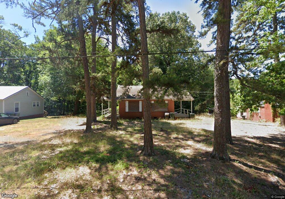
1309 Rolling Rd Asheboro, NC 27205
Estimated Value: $123,000 - $200,000
--
Bed
2
Baths
1,290
Sq Ft
$122/Sq Ft
Est. Value
About This Home
This home is located at 1309 Rolling Rd, Asheboro, NC 27205 and is currently estimated at $157,699, approximately $122 per square foot. 1309 Rolling Rd is a home located in Randolph County with nearby schools including Donna L. Loflin Elementary School, North Asheboro Middle School, and Asheboro High School.
Ownership History
Date
Name
Owned For
Owner Type
Purchase Details
Closed on
May 5, 2021
Sold by
Madaris Arnold Timothy and Madaris Layne M
Bought by
Madaris Arnold Timothy and Madaris Layne M
Current Estimated Value
Purchase Details
Closed on
Nov 23, 2018
Sold by
Franklin Linda Ann M and Estate Of Fannie Lee Madaris
Bought by
Franklin Linda Ann M and Madaris Arnold Timothy
Create a Home Valuation Report for This Property
The Home Valuation Report is an in-depth analysis detailing your home's value as well as a comparison with similar homes in the area
Home Values in the Area
Average Home Value in this Area
Purchase History
| Date | Buyer | Sale Price | Title Company |
|---|---|---|---|
| Madaris Arnold Timothy | $50,000 | Chicago Title Insurance Co | |
| Madaris Arnold Timothy | $50,000 | None Listed On Document | |
| Franklin Linda Ann M | -- | None Available |
Source: Public Records
Tax History Compared to Growth
Tax History
| Year | Tax Paid | Tax Assessment Tax Assessment Total Assessment is a certain percentage of the fair market value that is determined by local assessors to be the total taxable value of land and additions on the property. | Land | Improvement |
|---|---|---|---|---|
| 2025 | $2,028 | $100,250 | $26,290 | $73,960 |
| 2024 | $2,028 | $100,250 | $26,290 | $73,960 |
| 2023 | $2,028 | $100,250 | $26,290 | $73,960 |
| 2022 | $975 | $67,660 | $18,010 | $49,650 |
| 2021 | $975 | $67,660 | $18,010 | $49,650 |
| 2020 | $975 | $67,660 | $18,010 | $49,650 |
| 2019 | $975 | $67,660 | $18,010 | $49,650 |
| 2018 | $959 | $65,340 | $22,010 | $43,330 |
| 2016 | $959 | $65,339 | $22,010 | $43,329 |
| 2015 | $960 | $65,339 | $22,010 | $43,329 |
| 2014 | -- | $65,339 | $22,010 | $43,329 |
Source: Public Records
Map
Nearby Homes
- 1263 Winslow Ave Unit A, B & C
- 135 West St
- 830 Sunset Ave
- 923 Arnold St
- 711 Sunset Ave Unit E
- 401 Uwharrie St
- 617 Uwharrie St Unit N
- 612 Sunset Ave Unit 6
- 135 Dixon St
- 631 W Kivett St
- 806 Windermere Ct
- 627 Oakmont Dr
- 435 Peachtree St
- 627 Lee St
- 828 Windermere Ct
- 516 and 518 Peachtree St
- 635 Oakgrove Rd
- 737 Britt Ave
- 855 Lee St
- 536 Oakgrove Rd
- 1319 Rolling Rd
- 1303 Rolling Rd
- 1303 Rolling Rd
- 1305 Rolling Rd
- 221 Crestview St
- 1405 Rolling Rd
- 1322 Rolling Rd
- 224 Crestview St
- 1404 Rolling Rd
- 1411 Rolling Rd
- 0 Rolling Rd
- 1410 Rolling Rd
- 214 West St
- 115 Northridge Dr
- 1315 Sunset Ave
- 1305 Sunset Ave
- 1321 Sunset Ave
- 234 West St
- 1416 Rolling Rd
- 1405 Sunset Ave