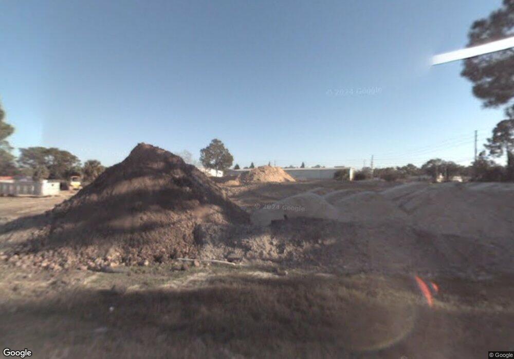
1310 Yorktown St de Land, FL 32724
North DeLand NeighborhoodEstimated Value: $81,370
--
Bed
--
Bath
--
Sq Ft
2.5
Acres
About This Home
This home is located at 1310 Yorktown St, de Land, FL 32724 and is currently estimated at $81,370. 1310 Yorktown St is a home located in Volusia County with nearby schools including Deland High School, George W. Marks Elementary School, and Deland Middle School.
Ownership History
Date
Name
Owned For
Owner Type
Purchase Details
Closed on
Aug 28, 2024
Sold by
Mcclain Daniel C
Bought by
Jlcm Enterprises Llc
Current Estimated Value
Purchase Details
Closed on
Oct 22, 2002
Sold by
Schumaker Franklin and Schumaker Elizabeth C
Bought by
Roger Davis Trucking Corp
Purchase Details
Closed on
Apr 15, 1983
Bought by
Mcclain Daniel C
Purchase Details
Closed on
Apr 15, 1981
Bought by
Mcclain Daniel C
Purchase Details
Closed on
Sep 15, 1980
Bought by
Mcclain Daniel C
Create a Home Valuation Report for This Property
The Home Valuation Report is an in-depth analysis detailing your home's value as well as a comparison with similar homes in the area
Home Values in the Area
Average Home Value in this Area
Purchase History
| Date | Buyer | Sale Price | Title Company |
|---|---|---|---|
| Jlcm Enterprises Llc | $82,500 | First Choice Title | |
| Roger Davis Trucking Corp | $40,000 | -- | |
| Mcclain Daniel C | $100 | -- | |
| Mcclain Daniel C | $24,500 | -- | |
| Mcclain Daniel C | $61,000 | -- |
Source: Public Records
Tax History Compared to Growth
Tax History
| Year | Tax Paid | Tax Assessment Tax Assessment Total Assessment is a certain percentage of the fair market value that is determined by local assessors to be the total taxable value of land and additions on the property. | Land | Improvement |
|---|---|---|---|---|
| 2025 | $809 | $46,172 | $46,172 | -- |
| 2024 | $809 | $46,172 | $46,172 | -- |
| 2023 | $809 | $46,172 | $46,172 | $0 |
| 2022 | $772 | $46,172 | $46,172 | $0 |
| 2021 | $711 | $34,629 | $34,629 | $0 |
| 2020 | $714 | $34,629 | $34,629 | $0 |
| 2019 | $748 | $34,629 | $34,629 | $0 |
| 2018 | $733 | $34,629 | $34,629 | $0 |
| 2017 | $673 | $28,858 | $28,858 | $0 |
| 2016 | $663 | $28,858 | $0 | $0 |
| 2015 | $685 | $28,858 | $0 | $0 |
| 2014 | $701 | $28,858 | $0 | $0 |
Source: Public Records
Map
Nearby Homes
- TBD E International Speedway Blvd
- 913 Lake Lindley Dr N
- 147 Rip Cord Ln
- 1403 Island Cove Dr
- 0 E International Speedway Blvd
- 1410 Heather Glen Dr
- 1300 Benton Lake Dr E
- 1401 Hendren Dr
- 1103 Lindley Cove Cir
- 1150 Orangewood Ave
- 1618 Palm Ave
- 2324 Lake Talmadge Dr
- 1 Smith Ct
- 0 Newport Ave
- 1702 Palmetto Ave
- 915 Marlboro Dr
- 907 Marlboro Dr
- 516 Grace Ave
- 1580 1st Ave
- 717 E Grove Place
- 1412 Intrepid Dr
- 1301 Yorktown St Unit B
- 1301 Yorktown St
- 1416 Intrepid Dr
- 1301 Lexington Ave Unit B
- 1320 Yorktown St
- 1501 Lexington Ave
- 1511 Lexington Ave
- 1511 Lexington Ave Unit 1
- 1511 Lexington Ave Deland 32 Ave
- 1560 Lexington Ave
- 1711 Ranger Ave
- 1370 Saratoga St
- 1702 Langley Ave
- 1704 Langley Ave
- 1500 E International Speedway Blvd
- 1309 E Inter Speed Blvd
- 0 Langley Ave Unit V4637125
- 0 Langley Ave Unit V4642359
- 1720 Ranger Ave