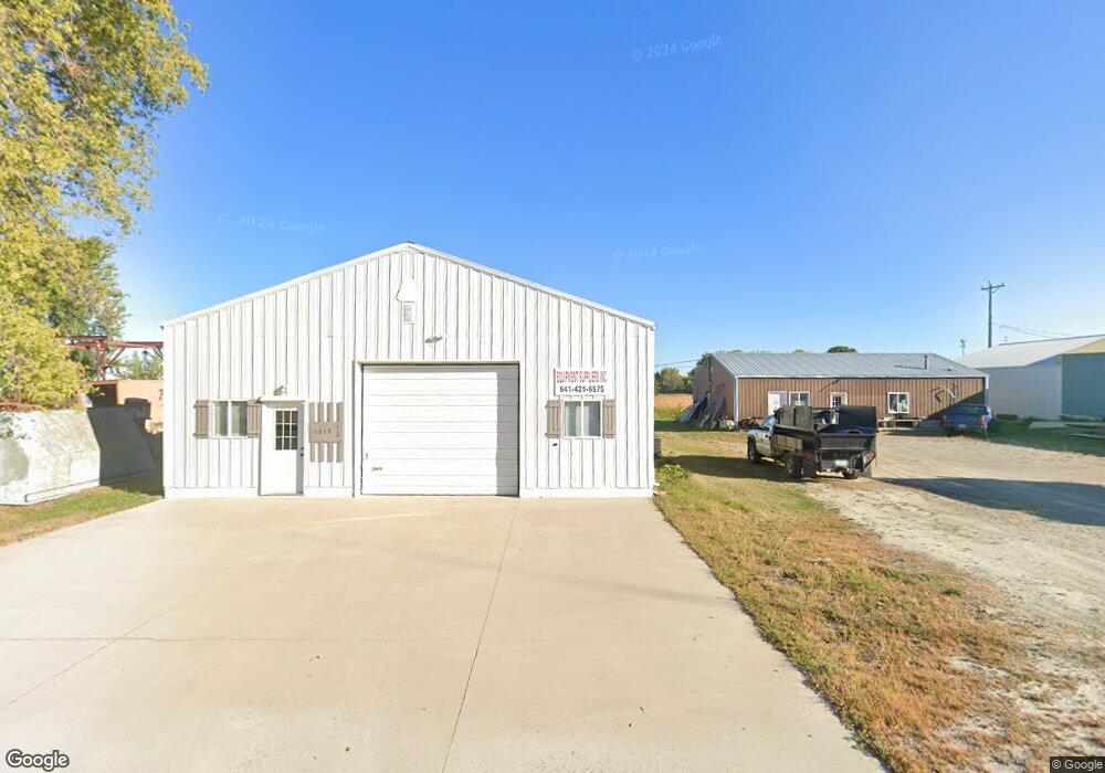
1312 S Taft Ave Mason City, IA 50401
Estimated Value: $97,946
--
Bed
--
Bath
1,600
Sq Ft
$61/Sq Ft
Est. Value
About This Home
This home is located at 1312 S Taft Ave, Mason City, IA 50401 and is currently estimated at $97,946, approximately $61 per square foot. 1312 S Taft Ave is a home located in Cerro Gordo County with nearby schools including Mason City High School, Newman Catholic School, and Newman Catholic Elementary School.
Ownership History
Date
Name
Owned For
Owner Type
Purchase Details
Closed on
Apr 11, 2006
Sold by
Olson Lorelei Jennings and Olson Matthew E
Bought by
Blanchard Raymond L and Blanchard Mary T
Current Estimated Value
Home Financials for this Owner
Home Financials are based on the most recent Mortgage that was taken out on this home.
Original Mortgage
$35,000
Interest Rate
6.33%
Mortgage Type
Purchase Money Mortgage
Purchase Details
Closed on
Jan 11, 2006
Sold by
Olson Lorelei Jennings and Olson Matthew E
Bought by
Blanchard Raymond L and Blanchard Mary T
Home Financials for this Owner
Home Financials are based on the most recent Mortgage that was taken out on this home.
Original Mortgage
$35,000
Interest Rate
6.33%
Mortgage Type
Purchase Money Mortgage
Create a Home Valuation Report for This Property
The Home Valuation Report is an in-depth analysis detailing your home's value as well as a comparison with similar homes in the area
Home Values in the Area
Average Home Value in this Area
Purchase History
| Date | Buyer | Sale Price | Title Company |
|---|---|---|---|
| Blanchard Raymond L | $50,000 | -- | |
| Blanchard Raymond L | $50,000 | None Available |
Source: Public Records
Mortgage History
| Date | Status | Borrower | Loan Amount |
|---|---|---|---|
| Closed | Blanchard Raymond L | $35,000 | |
| Previous Owner | Blanchard Raymond L | $35,000 |
Source: Public Records
Tax History Compared to Growth
Tax History
| Year | Tax Paid | Tax Assessment Tax Assessment Total Assessment is a certain percentage of the fair market value that is determined by local assessors to be the total taxable value of land and additions on the property. | Land | Improvement |
|---|---|---|---|---|
| 2024 | $1,028 | $64,190 | $18,070 | $46,120 |
| 2023 | $1,112 | $64,190 | $18,070 | $46,120 |
| 2022 | $1,158 | $56,220 | $13,940 | $42,280 |
| 2021 | $1,220 | $56,260 | $13,940 | $42,320 |
| 2020 | $1,946 | $56,260 | $13,940 | $42,320 |
| 2019 | $1,140 | $0 | $0 | $0 |
| 2018 | $1,116 | $0 | $0 | $0 |
| 2017 | $980 | $0 | $0 | $0 |
| 2016 | $948 | $0 | $0 | $0 |
| 2015 | $948 | $0 | $0 | $0 |
| 2014 | $940 | $0 | $0 | $0 |
| 2013 | $906 | $0 | $0 | $0 |
Source: Public Records
Map
Nearby Homes
- 2955 9th St SW
- 2779 17th St SW
- 1000 Briarstone Dr
- 71 Briarstone Ct Unit B-6
- 2708 19th St SW
- 925 Briarstone Dr
- 3041 4th St SW
- Lot 8 Westgate Business Park
- 2107 Springview Dr
- 2007 Augusta Dr
- 2033 Augusta Dr
- 740 Briarstone Dr
- 2103 Augusta Dr
- 660 Briarstone Dr
- 3253 Pinnacle Ct
- Lot 6 Westgate Business Park
- 900 Knollwood Ln
- 600 Briarstone Dr Unit A-3
- 667 Briarstone Dr Unit 1, Garage 7
- 2354 Callaway Ct Unit Fairways Addition
- 1312 1/2 S Taft Ave
- 1310 S Taft Ave
- 11 Commercial Park Rd
- 11 Commercial Park Rd
- 1308 S Taft Ave
- 1409 S Taft Ave
- 1409 S Taft Ave Unit AKA- 1409 Commercial
- 1314 S Taft Ave
- 1314 S Taft Ave
- 1413 S Taft Ave
- 1306 1/2 S Taft Ave
- 1306 S Taft Ave
- 1405 S Taft Ave
- 1304 S Taft Ave
- 1409 S Coolidge Ave
- 1403 S Taft Ave
- 1418 S Harding Ave
- 1424 S Coolidge Ave
- 1413 S Harding Ave
- 1415 S Hoover Ave