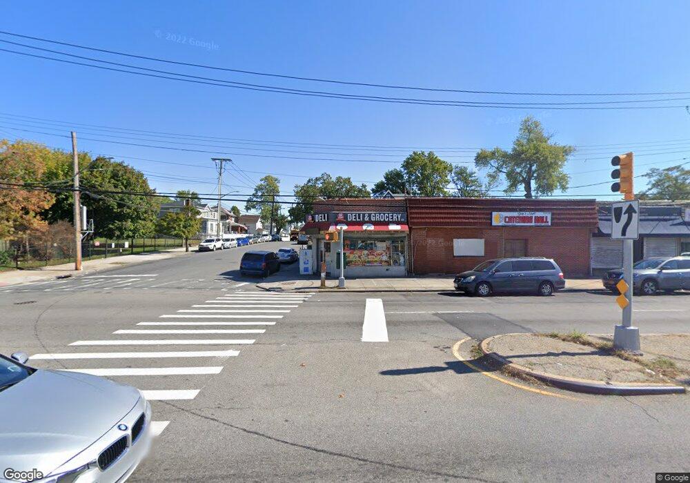
13121 Springfield Blvd Springfield Gardens, NY 11413
Laurelton NeighborhoodEstimated Value: $2,615,550
--
Bed
--
Bath
12,000
Sq Ft
$218/Sq Ft
Est. Value
About This Home
This home is located at 13121 Springfield Blvd, Springfield Gardens, NY 11413 and is currently estimated at $2,615,550, approximately $217 per square foot. 13121 Springfield Blvd is a home located in Queens County with nearby schools including P.S. 132 - Ralph Bunche and Is 59 Springfield Gardens.
Ownership History
Date
Name
Owned For
Owner Type
Purchase Details
Closed on
Jun 29, 2020
Sold by
Giscombe Ruth
Bought by
131-21 Springfield Llc
Current Estimated Value
Purchase Details
Closed on
Jun 1, 2006
Sold by
Brogdon Brothers
Bought by
Giscombe Ruth
Home Financials for this Owner
Home Financials are based on the most recent Mortgage that was taken out on this home.
Original Mortgage
$825,000
Interest Rate
6.47%
Mortgage Type
Commercial
Create a Home Valuation Report for This Property
The Home Valuation Report is an in-depth analysis detailing your home's value as well as a comparison with similar homes in the area
Home Values in the Area
Average Home Value in this Area
Purchase History
| Date | Buyer | Sale Price | Title Company |
|---|---|---|---|
| 131-21 Springfield Llc | $2,150,000 | -- | |
| Giscombe Ruth | $1,100,000 | -- |
Source: Public Records
Mortgage History
| Date | Status | Borrower | Loan Amount |
|---|---|---|---|
| Previous Owner | Giscombe Ruth | $825,000 |
Source: Public Records
Tax History Compared to Growth
Tax History
| Year | Tax Paid | Tax Assessment Tax Assessment Total Assessment is a certain percentage of the fair market value that is determined by local assessors to be the total taxable value of land and additions on the property. | Land | Improvement |
|---|---|---|---|---|
| 2025 | $59,933 | $553,680 | $208,350 | $345,330 |
| 2024 | $59,933 | $565,830 | $208,350 | $357,480 |
| 2023 | $59,866 | $565,200 | $208,350 | $356,850 |
| 2022 | $59,529 | $553,500 | $208,350 | $345,150 |
| 2021 | $51,973 | $486,000 | $208,350 | $277,650 |
| 2020 | $61,035 | $648,000 | $208,350 | $439,650 |
| 2019 | $57,589 | $616,050 | $208,350 | $407,700 |
| 2018 | $54,221 | $515,700 | $208,350 | $307,350 |
| 2017 | $51,275 | $487,680 | $208,350 | $279,330 |
| 2016 | $48,589 | $487,680 | $208,350 | $279,330 |
| 2015 | $19,932 | $433,320 | $208,350 | $224,970 |
| 2014 | $19,932 | $431,520 | $208,350 | $223,170 |
Source: Public Records
Map
Nearby Homes
- 13049 217th St
- 130-25 217th St
- 19332 Williamson Ave
- 13024 Springfield Blvd
- 21917 132nd Rd
- 192-17 Williamson Ave
- 21924 130th Dr
- 19115 Williamson Ave
- 12512 Nepton St
- 194-01 Nashville Blvd
- 19401 Nashville Blvd
- 21931 133rd Ave
- 122-52 Springfield Blvd
- 130-45 220th St
- 21827 130th Ave
- 218-36 133rd Rd
- 187-01 Ridgedale St
- 194-09 122nd Ave
- 21608 Merrick Blvd
- 22014 130th Ave
- 13121 Springfield Blvd
- 13121 Springfield Blvd
- 131-23 Springfield Blvd
- 131-25 Springfield Blvd
- 131-21 Springfield Blvd
- 21614 131st Ave
- 131-35 Springfield Blvd
- 13135 Springfield Blvd
- 21618 131st Ave
- 21615 132nd Ave
- 21622 131st Ave
- 21619 132nd Ave
- 21617 131st Ave
- 13118 Springfield Blvd
- 131-18 Springfield Blvd
- 21626 131st Ave
- 21626 131st Ave
- 13124 Springfield Blvd
- 131-22 Springfield Blvd
- 21626 131st Ave