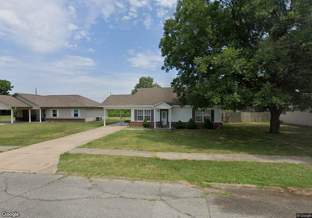
1314 N Lee Cir Blytheville, AR 72315
Estimated Value: $106,000 - $142,000
--
Bed
--
Bath
1,406
Sq Ft
$85/Sq Ft
Est. Value
About This Home
This home is located at 1314 N Lee Cir, Blytheville, AR 72315 and is currently estimated at $119,664, approximately $85 per square foot. 1314 N Lee Cir is a home located in Mississippi County with nearby schools including Blytheville Primary School, Blytheville Elementary School, and Blytheville Middle School.
Ownership History
Date
Name
Owned For
Owner Type
Purchase Details
Closed on
Jan 2, 2008
Sold by
Miss County Eoc
Bought by
Brown James A and Brown John H
Current Estimated Value
Purchase Details
Closed on
Jan 1, 2008
Sold by
Miss County Eoc
Bought by
Brown James A and Brown John H
Purchase Details
Closed on
Jan 2, 2004
Sold by
Logan Max and Annie Laurie
Bought by
Logan John and Logan Frances
Purchase Details
Closed on
Jan 1, 2004
Sold by
Logan Max and Annie Laurie
Bought by
Logan John and Logan Frances
Purchase Details
Closed on
Jan 1, 1951
Bought by
Logan Max and Annie Laurie
Create a Home Valuation Report for This Property
The Home Valuation Report is an in-depth analysis detailing your home's value as well as a comparison with similar homes in the area
Home Values in the Area
Average Home Value in this Area
Purchase History
| Date | Buyer | Sale Price | Title Company |
|---|---|---|---|
| Brown James A | $88,000 | -- | |
| Miss County Eoc | $9,000 | -- | |
| Brown James A | $88,000 | -- | |
| Miss County Eoc | $9,000 | -- | |
| Logan John | -- | -- | |
| Logan John | -- | -- | |
| Logan Max | -- | -- |
Source: Public Records
Tax History Compared to Growth
Tax History
| Year | Tax Paid | Tax Assessment Tax Assessment Total Assessment is a certain percentage of the fair market value that is determined by local assessors to be the total taxable value of land and additions on the property. | Land | Improvement |
|---|---|---|---|---|
| 2025 | $945 | $19,717 | $3,000 | $16,717 |
| 2024 | $785 | $19,717 | $3,000 | $16,717 |
| 2023 | $785 | $19,717 | $3,000 | $16,717 |
| 2022 | $750 | $19,717 | $3,000 | $16,717 |
| 2021 | $520 | $15,162 | $1,800 | $13,362 |
| 2020 | -- | $15,162 | $1,800 | $13,362 |
| 2019 | -- | -- | $1,800 | $13,362 |
| 2018 | -- | -- | $1,800 | $13,362 |
| 2017 | -- | -- | $1,800 | $14,264 |
| 2015 | -- | -- | $1,800 | $14,264 |
| 2013 | -- | -- | $1,800 | $14,264 |
Source: Public Records
Map
Nearby Homes
- 1252 S 10th St
- 1603 Basin St
- 1810 Stuart St
- 1810 Stewart St
- 707 Henderson St
- 3315 S Division St
- .62 acre S 16th St
- 916 S 21st St
- 1610 Harmon St
- TBD S Highway 61
- 00 Trent Rd
- 2411 Carolyn St
- 413 S 21st St
- 1005 S Franklin St
- 1704 W Main St
- 1512 W Walnut St
- 1005 S Lilly St
- 411 S Lilly St
- 0 W Walnut St
- 1702 S Ruddle Rd