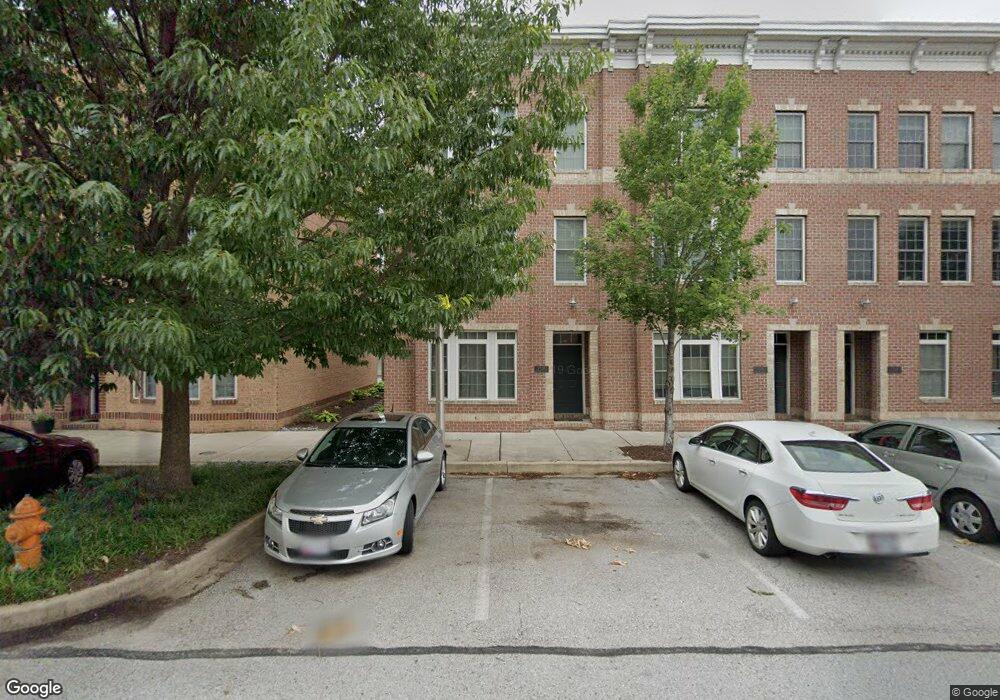
1318 Decatur St Baltimore, MD 21230
Locust Point NeighborhoodEstimated Value: $571,884 - $651,000
2
Beds
3
Baths
2,470
Sq Ft
$248/Sq Ft
Est. Value
About This Home
This home is located at 1318 Decatur St, Baltimore, MD 21230 and is currently estimated at $611,442, approximately $247 per square foot. 1318 Decatur St is a home located in Baltimore City with nearby schools including Francis Scott Key Elementary/Middle School, Booker T. Washington Middle School, and Paul Laurence Dunbar High School.
Ownership History
Date
Name
Owned For
Owner Type
Purchase Details
Closed on
Sep 15, 2010
Sold by
Locust Point Llc
Bought by
Bravos Emmanuel David
Current Estimated Value
Home Financials for this Owner
Home Financials are based on the most recent Mortgage that was taken out on this home.
Original Mortgage
$334,400
Outstanding Balance
$222,267
Interest Rate
4.57%
Mortgage Type
New Conventional
Estimated Equity
$389,175
Create a Home Valuation Report for This Property
The Home Valuation Report is an in-depth analysis detailing your home's value as well as a comparison with similar homes in the area
Home Values in the Area
Average Home Value in this Area
Purchase History
| Date | Buyer | Sale Price | Title Company |
|---|---|---|---|
| Bravos Emmanuel David | $418,000 | -- |
Source: Public Records
Mortgage History
| Date | Status | Borrower | Loan Amount |
|---|---|---|---|
| Open | Bravos Emmanuel David | $334,400 |
Source: Public Records
Tax History Compared to Growth
Tax History
| Year | Tax Paid | Tax Assessment Tax Assessment Total Assessment is a certain percentage of the fair market value that is determined by local assessors to be the total taxable value of land and additions on the property. | Land | Improvement |
|---|---|---|---|---|
| 2025 | $10,077 | $485,900 | -- | -- |
| 2024 | $10,077 | $470,000 | $0 | $0 |
| 2023 | $9,802 | $454,100 | $130,000 | $324,100 |
| 2022 | $9,802 | $453,400 | $0 | $0 |
| 2021 | $10,684 | $452,700 | $0 | $0 |
| 2020 | $9,624 | $452,000 | $130,000 | $322,000 |
| 2019 | $9,192 | $452,000 | $130,000 | $322,000 |
| 2018 | $8,974 | $452,000 | $130,000 | $322,000 |
| 2017 | $8,717 | $455,300 | $0 | $0 |
| 2016 | $6,016 | $421,067 | $0 | $0 |
| 2015 | $6,016 | $386,833 | $0 | $0 |
| 2014 | $6,016 | $352,600 | $0 | $0 |
Source: Public Records
Map
Nearby Homes
- 1314 Haubert St
- 1322 Haubert St
- 1324 Haubert St
- 1301 Hull St
- 1423 Haubert St
- 1143 Hull St
- 1445 Hull St
- 1358 Towson St
- 1212 Towson St
- 1437 E Fort Ave
- 1500 Latrobe Park Terrace
- 1526 Lowman St
- 1430 Richardson St
- 1436 Andre St
- 1632 E Fort Ave
- 1411 Andre St
- 1425 Andre St
- 1200 Steuart St Unit 1612
- 1200 Steuart St
- 1200 Steuart St
- 1316 Decatur St
- 1320 Decatur St
- 1314 Decatur St
- 1322 Decatur St
- 1312 Decatur St
- 1324 Decatur St
- 1319 Lowman St
- 1321 Lowman St
- 1315 Lowman St
- 1310 Decatur St
- 1323 Lowman St
- 1326 Decatur St
- 1313 Lowman St
- 1325 Lowman St
- 1308 Decatur St
- 1328 Decatur St
- 1311 Lowman St
- 1327 Lowman St
- 1306 Decatur St
- 1309 Lowman St