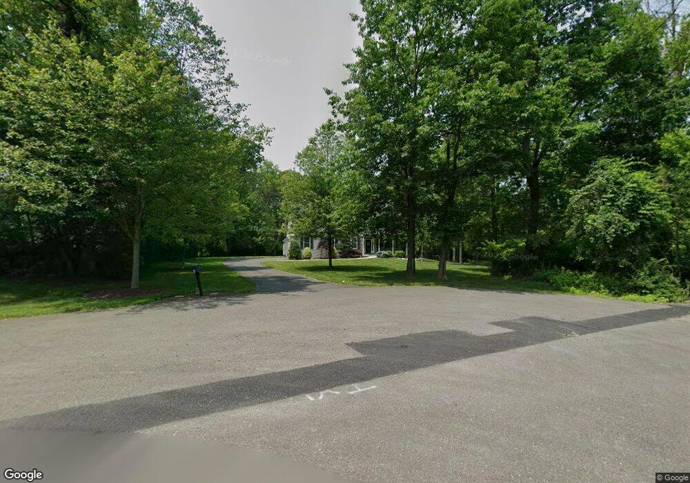
1319 Biwood Rd Ambler, PA 19002
Estimated Value: $1,034,780 - $1,154,000
4
Beds
4
Baths
3,741
Sq Ft
$290/Sq Ft
Est. Value
About This Home
This home is located at 1319 Biwood Rd, Ambler, PA 19002 and is currently estimated at $1,085,195, approximately $290 per square foot. 1319 Biwood Rd is a home with nearby schools including Simmons Elementary School, Keith Valley Middle School, and Hatboro-Horsham Senior High School.
Ownership History
Date
Name
Owned For
Owner Type
Purchase Details
Closed on
Sep 21, 2011
Sold by
Popper & Deacon Inc
Bought by
Skutches Christopher G and Skutches Laurice A
Current Estimated Value
Home Financials for this Owner
Home Financials are based on the most recent Mortgage that was taken out on this home.
Original Mortgage
$382,000
Outstanding Balance
$260,840
Interest Rate
4.2%
Estimated Equity
$824,355
Purchase Details
Closed on
Dec 10, 2009
Sold by
Peco Energy Company
Bought by
Popper & Deacon Inc
Create a Home Valuation Report for This Property
The Home Valuation Report is an in-depth analysis detailing your home's value as well as a comparison with similar homes in the area
Home Values in the Area
Average Home Value in this Area
Purchase History
| Date | Buyer | Sale Price | Title Company |
|---|---|---|---|
| Skutches Christopher G | $582,000 | None Available | |
| Popper & Deacon Inc | $270,000 | None Available |
Source: Public Records
Mortgage History
| Date | Status | Borrower | Loan Amount |
|---|---|---|---|
| Open | Skutches Christopher G | $382,000 |
Source: Public Records
Tax History Compared to Growth
Tax History
| Year | Tax Paid | Tax Assessment Tax Assessment Total Assessment is a certain percentage of the fair market value that is determined by local assessors to be the total taxable value of land and additions on the property. | Land | Improvement |
|---|---|---|---|---|
| 2025 | $12,185 | $309,990 | -- | -- |
| 2024 | $12,185 | $309,990 | -- | -- |
| 2023 | $11,599 | $309,990 | $0 | $0 |
| 2022 | $11,223 | $309,990 | $0 | $0 |
| 2021 | $10,957 | $309,990 | $0 | $0 |
| 2020 | $10,699 | $309,990 | $0 | $0 |
| 2019 | $10,493 | $309,990 | $0 | $0 |
| 2018 | $8,622 | $309,990 | $0 | $0 |
| 2017 | $10,024 | $309,990 | $0 | $0 |
| 2016 | $9,903 | $309,990 | $0 | $0 |
| 2015 | $9,458 | $309,990 | $0 | $0 |
| 2014 | $9,458 | $294,600 | $0 | $0 |
Source: Public Records
Map
Nearby Homes
- 111 Raymond Ln
- 406 Lower State Rd
- 553 Exeter Ct
- 201 Drake Ln
- 103 Lincoln Dr Unit 235
- 1106 Brynhill Ct
- 624 Chatsworth Dr
- 101 Wordsworth Ln
- 116 Drake Ln
- 499 Grouse Cir
- 731 Marietta Dr
- 1104 Ashridge Ct
- 100 W Kennedy Rd
- 1625 Sloan Way
- 1555 Sloan Way
- 273 Running Water Ct
- Applebach Plan at Regency at Waterside - Providence Collection
- Ambler Plan at Regency at Waterside - Providence Collection
- Jarrett Plan at Regency at Waterside - Providence Collection
- Harriman Plan at Regency at Waterside - Providence Collection