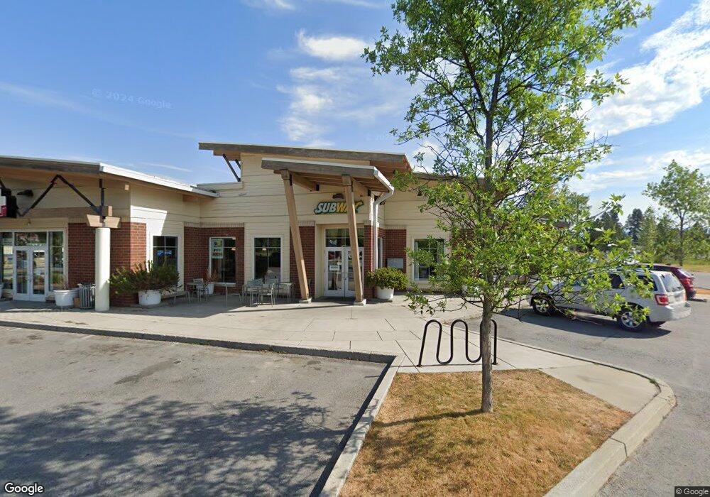
1319 U S 2 Unit Highway 2 / Division Sandpoint, ID 83864
--
Bed
--
Bath
813
Sq Ft
5
Acres
About This Home
This home is located at 1319 U S 2 Unit Highway 2 / Division, Sandpoint, ID 83864. 1319 U S 2 Unit Highway 2 / Division is a home located in Bonner County with nearby schools including Washington Elementary School, Sandpoint Middle School, and Sandpoint High School.
Ownership History
Date
Name
Owned For
Owner Type
Purchase Details
Closed on
Oct 12, 2023
Sold by
Westpointe Plaza Development Llc
Bought by
Kg Sandpoint Llc
Purchase Details
Closed on
Oct 28, 2005
Sold by
Lights Out Llc
Bought by
Tackaberry William and Tackaberry Marcelle
Home Financials for this Owner
Home Financials are based on the most recent Mortgage that was taken out on this home.
Original Mortgage
$215,000
Interest Rate
5.97%
Mortgage Type
Purchase Money Mortgage
Create a Home Valuation Report for This Property
The Home Valuation Report is an in-depth analysis detailing your home's value as well as a comparison with similar homes in the area
Home Values in the Area
Average Home Value in this Area
Purchase History
| Date | Buyer | Sale Price | Title Company |
|---|---|---|---|
| Kg Sandpoint Llc | -- | Flying S Title And Escrow-Sand | |
| Tackaberry William | -- | None Available |
Source: Public Records
Mortgage History
| Date | Status | Borrower | Loan Amount |
|---|---|---|---|
| Previous Owner | Tackaberry William | $215,000 |
Source: Public Records
Tax History Compared to Growth
Tax History
| Year | Tax Paid | Tax Assessment Tax Assessment Total Assessment is a certain percentage of the fair market value that is determined by local assessors to be the total taxable value of land and additions on the property. | Land | Improvement |
|---|---|---|---|---|
| 2025 | $8,625 | $1,400,813 | $592,416 | $808,397 |
| 2024 | $8,625 | $1,400,813 | $592,416 | $808,397 |
| 2023 | $6,540 | $931,163 | $385,070 | $546,093 |
| 2022 | $6,540 | $931,163 | $385,070 | $546,093 |
| 2021 | $7,937 | $758,477 | $296,208 | $462,269 |
| 2020 | $7,768 | $758,477 | $296,208 | $462,269 |
| 2019 | $8,896 | $758,477 | $296,208 | $462,269 |
| 2018 | $9,362 | $743,788 | $296,208 | $447,580 |
| 2017 | $9,362 | $743,427 | $0 | $0 |
| 2016 | $8,287 | $628,977 | $0 | $0 |
| 2015 | -- | $838,637 | $0 | $0 |
| 2014 | -- | $838,637 | $0 | $0 |
Source: Public Records
Map
Nearby Homes
- 424 S Olive Ave
- 424 S Olive Ave Unit 303
- 424 S Olive Ave Unit 103
- 424 S Olive Ave Unit 203
- 411 S Olive Ave Unit 1
- 702 S Merton Ave
- 1405 Autumn Ln
- 704 S Merton Ave
- 327 S Olive Ave Unit J
- 327 S Olive Ave Unit J
- 439 S Marion Ave
- 1410 J r Ct
- 1406 J r Ct
- 210 Olive Ave
- 210 S Olive Ave
- 1721 Northshore Dr
- 1205 W Lake St
- 436 S Lavina Ave
- 329 S Florence Ave
- 531 S Lavina Ave
- 1319 U S 2
- 1319 Hwy 2 (Retail Building-2 Warehouses-4 3 Acres)
- 1319 Highway 2 [Retail Center]
- 1319 Highway 2
- 1315 Highway 2
- 1315 U S 2
- NNA Ontario (2 Warehouses On 4 3 Ac)
- 1305 Highway 2
- 1323 U S 2
- 1323 U S 2 Unit Division at Highway
- 1323 U S 2 Unit Highway 2 / Division
- 1323 U S 2 Unit Highway 2 / Division
- 1305 U S 2
- NNA Ontario (Land Only 3 18 Ac)
- NNA S Division Ave
- 419 S Division Ave
- 0 Ontario (2 Warehouses On 1 12 Ac) Unit 20200692
- 521 S Division Ave
- 1302 Ontario St
- 517 Hawkeye Dr