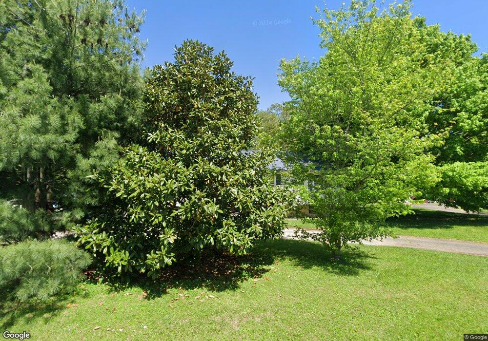
132 Cherwood Dr Campbellsville, KY 42718
Estimated Value: $224,969 - $293,000
5
Beds
3
Baths
1,255
Sq Ft
$198/Sq Ft
Est. Value
About This Home
This home is located at 132 Cherwood Dr, Campbellsville, KY 42718 and is currently estimated at $248,242, approximately $197 per square foot. 132 Cherwood Dr is a home located in Taylor County with nearby schools including Taylor County Elementary School, Taylor County Middle School, and Taylor County High School.
Ownership History
Date
Name
Owned For
Owner Type
Purchase Details
Closed on
Jun 1, 2021
Sold by
Parsons Melynda N
Bought by
Parsons Patrick A
Current Estimated Value
Purchase Details
Closed on
Jun 25, 2018
Sold by
Christensen Robert and Christensen Sherry
Bought by
Parsons Patrick A and Parsons Melynda N
Home Financials for this Owner
Home Financials are based on the most recent Mortgage that was taken out on this home.
Original Mortgage
$167,900
Interest Rate
4.5%
Mortgage Type
VA
Purchase Details
Closed on
Sep 27, 2010
Sold by
Sink Gisela H
Bought by
Christensen Robert and Christensen Sherry
Create a Home Valuation Report for This Property
The Home Valuation Report is an in-depth analysis detailing your home's value as well as a comparison with similar homes in the area
Home Values in the Area
Average Home Value in this Area
Purchase History
| Date | Buyer | Sale Price | Title Company |
|---|---|---|---|
| Parsons Patrick A | -- | None Available | |
| Parsons Patrick A | -- | None Listed On Document | |
| Parsons Patrick A | $167,900 | Bluegrass Land Title Llc | |
| Christensen Robert | $90,000 | None Available |
Source: Public Records
Mortgage History
| Date | Status | Borrower | Loan Amount |
|---|---|---|---|
| Previous Owner | Parsons Patrick A | $167,900 |
Source: Public Records
Tax History Compared to Growth
Tax History
| Year | Tax Paid | Tax Assessment Tax Assessment Total Assessment is a certain percentage of the fair market value that is determined by local assessors to be the total taxable value of land and additions on the property. | Land | Improvement |
|---|---|---|---|---|
| 2025 | $1,626 | $167,900 | $0 | $0 |
| 2024 | $1,648 | $167,900 | $0 | $0 |
| 2023 | $1,707 | $167,900 | $0 | $0 |
| 2022 | $1,734 | $167,900 | $0 | $0 |
| 2021 | $1,727 | $167,900 | $0 | $0 |
| 2020 | $1,765 | $167,900 | $0 | $0 |
| 2019 | $1,769 | $167,900 | $0 | $0 |
| 2018 | $894 | $124,000 | $0 | $0 |
| 2017 | $531 | $90,000 | $0 | $0 |
| 2016 | $525 | $90,000 | $0 | $0 |
| 2015 | $522 | $90,000 | $0 | $0 |
| 2014 | $519 | $90,000 | $0 | $0 |
| 2012 | -- | $90,000 | $0 | $0 |
Source: Public Records
Map
Nearby Homes
- 40 Fragrant Flowers Ln
- 49 Aaron Way
- 19.3 m/l ac. Red Fern Rd
- 148 Red Fern Rd
- 98 Springhouse Rd
- 39 Peachtree Cir
- 3258 Old Lebanon Rd
- 190 Kristi Ln
- 50 Cheryl Dr
- 115 Steeplechase Dr
- 4436 Old Lebanon Rd
- Tract 3E Palestine Rd
- Tract 2A Palestine Rd
- Tract 3A Palestine Rd
- 202 Greenbriar Ct
- 1905 Brownington Way
- 120 Clara Ln
- 402 Wildflower Dr
- 306 Wildflower Dr
- 202 Shreve Dr
- 106 Cherwood Dr
- 186 Cherwood Dr
- 133 Cherwood Dr
- 141 Cherwood Dr
- 181 Cherwood Dr
- 150 Long Acre Rd
- 78 Cherwood Dr
- 214 Cherwood Dr
- 100 Long Acre Rd
- 180 Long Acre Rd
- 211 Cherwood Dr
- 70 Cherwood Dr
- 236 Cherwood Dr
- 210 Long Acre Rd
- 75 Cherwood Dr
- 147 Long Acre Rd
- 149 Long Acre Rd
- 175 Long Acre Dr
- 175 Long Acre Rd
- 50 Long Acre Rd
