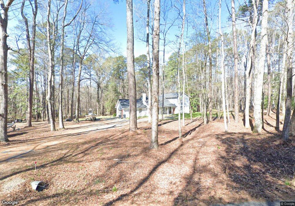
132 Devin Dr Lexington, SC 29072
Estimated Value: $300,000 - $437,000
4
Beds
2
Baths
1,877
Sq Ft
$186/Sq Ft
Est. Value
About This Home
This home is located at 132 Devin Dr, Lexington, SC 29072 and is currently estimated at $348,312, approximately $185 per square foot. 132 Devin Dr is a home located in Lexington County with nearby schools including Rocky Creek Elementary School, Beechwood Middle School, and Lexington High School.
Ownership History
Date
Name
Owned For
Owner Type
Purchase Details
Closed on
Nov 18, 2020
Sold by
Powell Daniel T
Bought by
Powelll Daniel T and The Powell Family Revocable Tr
Current Estimated Value
Purchase Details
Closed on
Jun 29, 2020
Sold by
Shay Michael and Shay Doris
Bought by
Powell Danile T
Purchase Details
Closed on
Oct 29, 2003
Sold by
Master In Equity
Bought by
Federal National Mortgage Association
Purchase Details
Closed on
Feb 1, 2002
Sold by
Connelly Christopher M
Bought by
Barr Traci M
Purchase Details
Closed on
Jan 31, 2002
Sold by
Manship James E
Bought by
Harrison Kimball U
Create a Home Valuation Report for This Property
The Home Valuation Report is an in-depth analysis detailing your home's value as well as a comparison with similar homes in the area
Home Values in the Area
Average Home Value in this Area
Purchase History
| Date | Buyer | Sale Price | Title Company |
|---|---|---|---|
| Powelll Daniel T | -- | None Available | |
| Powell Danile T | $170,000 | None Available | |
| Federal National Mortgage Association | $189,500 | -- | |
| Barr Traci M | $79,000 | -- | |
| Harrison Kimball U | $173,700 | -- |
Source: Public Records
Tax History Compared to Growth
Tax History
| Year | Tax Paid | Tax Assessment Tax Assessment Total Assessment is a certain percentage of the fair market value that is determined by local assessors to be the total taxable value of land and additions on the property. | Land | Improvement |
|---|---|---|---|---|
| 2024 | $1,015 | $6,800 | $4,000 | $2,800 |
| 2023 | $1,015 | $6,800 | $4,000 | $2,800 |
| 2022 | $1,013 | $6,800 | $4,000 | $2,800 |
| 2020 | $7,191 | $13,628 | $6,000 | $7,628 |
| 2019 | $1,357 | $8,728 | $3,919 | $4,809 |
| 2018 | $1,332 | $8,728 | $3,919 | $4,809 |
| 2017 | $1,292 | $8,728 | $3,919 | $4,809 |
| 2016 | $1,280 | $8,726 | $3,918 | $4,808 |
| 2014 | $1,065 | $7,588 | $2,088 | $5,500 |
| 2013 | -- | $7,590 | $2,090 | $5,500 |
Source: Public Records
Map
Nearby Homes
- 114 Clubside Dr
- 118 Clubside Dr
- 122 Clubside Dr
- 126 Clubside Dr
- 130 Clubside Dr
- 134 Clubside Dr
- 138 Clubside Dr
- 142 Clubside Dr
- 146 Clubside Dr
- 215 Clubside Dr
- 102 Honeybee Ct
- 436 Beesborough Ln
- 720 Braekel Ct
- 256 Crimson Oak Dr
- 378 Bo Tire Way
- 212 Bantam Place
- 322 Stillington St
- 217 Lightning Bug Ln
- 216 Bantam Place
- 261 Oakpointe Dr