132 Neal Rd Louisburg, NC 27549
Estimated Value: $557,000 - $879,979
2
Beds
4
Baths
2,160
Sq Ft
$335/Sq Ft
Est. Value
About This Home
This home is located at 132 Neal Rd, Louisburg, NC 27549 and is currently estimated at $723,995, approximately $335 per square foot. 132 Neal Rd is a home located in Franklin County with nearby schools including Laurel Mill Elementary School, Terrell Lane Middle School, and Louisburg High School.
Ownership History
Date
Name
Owned For
Owner Type
Purchase Details
Closed on
Aug 8, 2023
Sold by
Orcutt John T and Orcutt Yvonne
Bought by
Orcutt Shawn C
Current Estimated Value
Purchase Details
Closed on
Aug 8, 2018
Sold by
Orcutt John T and Santiago Yvonne
Bought by
Hunter Cynthia Francine
Purchase Details
Closed on
Jun 11, 2018
Sold by
Oreutt Karen T
Bought by
Orcutt John T
Purchase Details
Closed on
Apr 11, 2000
Bought by
Webley Mildred K and Webley William R
Create a Home Valuation Report for This Property
The Home Valuation Report is an in-depth analysis detailing your home's value as well as a comparison with similar homes in the area
Home Values in the Area
Average Home Value in this Area
Purchase History
| Date | Buyer | Sale Price | Title Company |
|---|---|---|---|
| Orcutt Shawn C | -- | None Listed On Document | |
| Orcutt Shawn C | -- | None Listed On Document | |
| Hunter Cynthia Francine | -- | None Available | |
| Orcutt John T | -- | None Available | |
| Webley Mildred K | $213,000 | -- |
Source: Public Records
Tax History Compared to Growth
Tax History
| Year | Tax Paid | Tax Assessment Tax Assessment Total Assessment is a certain percentage of the fair market value that is determined by local assessors to be the total taxable value of land and additions on the property. | Land | Improvement |
|---|---|---|---|---|
| 2025 | $3,790 | $641,270 | $252,690 | $388,580 |
| 2024 | $3,765 | $641,270 | $252,690 | $388,580 |
| 2023 | $3,392 | $381,600 | $98,350 | $283,250 |
| 2022 | $3,382 | $381,600 | $98,350 | $283,250 |
| 2021 | $3,420 | $381,600 | $98,350 | $283,250 |
| 2020 | $3,441 | $381,600 | $98,350 | $283,250 |
| 2019 | $3,431 | $381,600 | $98,350 | $283,250 |
| 2018 | $3,545 | $395,180 | $111,930 | $283,250 |
| 2017 | $3,724 | $375,570 | $97,520 | $278,050 |
| 2016 | $3,854 | $375,570 | $97,520 | $278,050 |
| 2015 | $3,854 | $375,570 | $97,520 | $278,050 |
| 2014 | $3,632 | $375,570 | $97,520 | $278,050 |
Source: Public Records
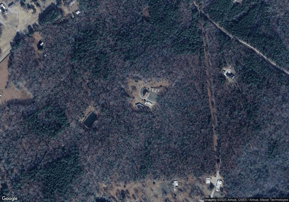
Map
Nearby Homes
- 348 Raymond Tharrington Rd
- 620 Raymond Tharrington Rd
- 0 Roy Tharrington Rd
- 4.29 Acres Leonard Rd
- 9.56 Acres Leonard Rd
- 09 Tillery Dr
- 11 Tillery Dr
- 2329 N Carolina 561
- 317 Brewer Rd
- 08 Tillery Dr
- 06 Tillery Dr
- 0 Wood Rd
- 2253 Pete Smith Rd
- 917 Vaiden Rd
- 0 Vaiden Rd Unit 10102990
- 1163 Schloss Rd
- 0 Alert Rd
- 979 Alert Rd
- 592 Perdues Rd
- 1539 Schloss Rd
- 234 Neal Rd
- 201/1436 Neal Rd
- 0 Neal Rd Unit 536832
- 0 Neal Rd Unit 1964565
- 0 Neal Rd Unit 514136
- 0 Neal Rd Unit 583908
- 0 Neal Rd Unit TR2023904
- 0 Neal Rd Unit 2848 1964565
- 0 Neal Rd
- Lot 2848 Neal Rd
- 00 Neal
- 50 Laurel Mill Centerville Rd
- 210 Neal Rd
- 210 Neal Rd
- 210 Neal Rd Unit 2848
- 210 Neal Rd Unit 2848
- 163 Neal Rd
- 64 Neal Rd
- 253 Neal Rd
- 294 Laurel Mill Centerville Rd