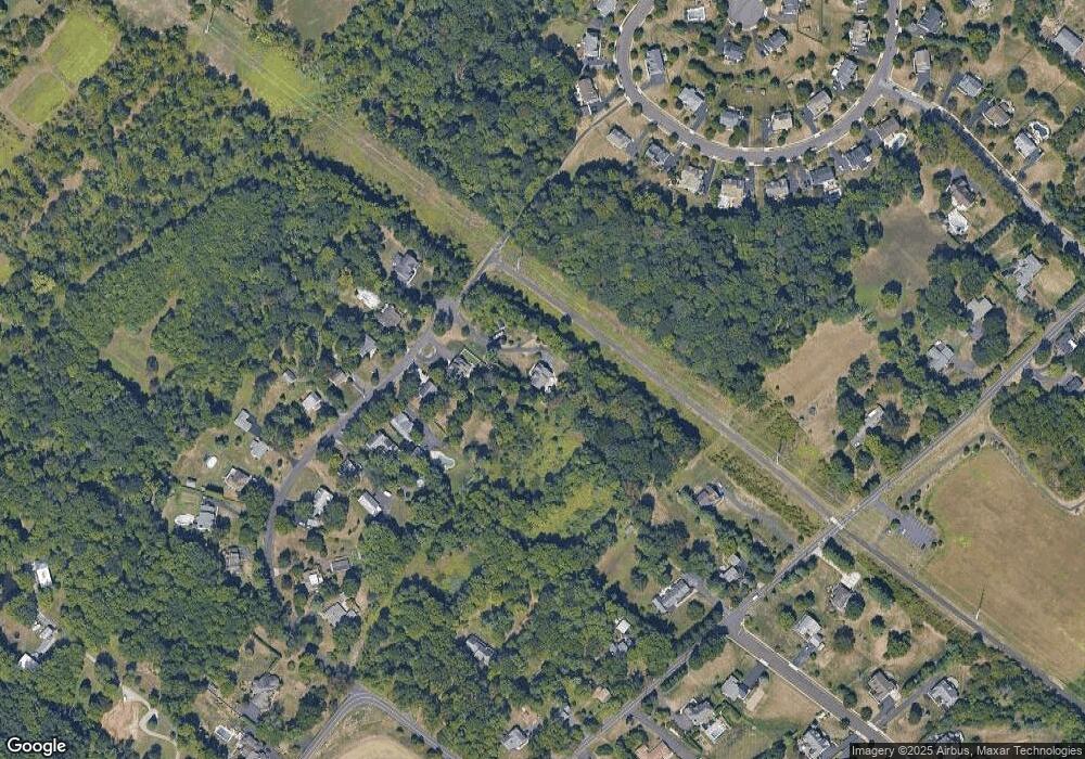
1320 Biwood Rd Ambler, PA 19002
Estimated Value: $802,637 - $992,000
4
Beds
3
Baths
2,728
Sq Ft
$343/Sq Ft
Est. Value
About This Home
This home is located at 1320 Biwood Rd, Ambler, PA 19002 and is currently estimated at $936,409, approximately $343 per square foot. 1320 Biwood Rd is a home with nearby schools including Simmons Elementary School, Keith Valley Middle School, and Hatboro-Horsham Senior High School.
Ownership History
Date
Name
Owned For
Owner Type
Purchase Details
Closed on
Nov 19, 2012
Sold by
Popper & Deacon Inc
Bought by
Wittmer Paul N and Wittmer Deborah L
Current Estimated Value
Home Financials for this Owner
Home Financials are based on the most recent Mortgage that was taken out on this home.
Original Mortgage
$414,000
Outstanding Balance
$287,028
Interest Rate
3.46%
Mortgage Type
New Conventional
Estimated Equity
$649,381
Purchase Details
Closed on
Dec 10, 2009
Sold by
Peco Energy Company
Bought by
Popper & Deacon Inc
Create a Home Valuation Report for This Property
The Home Valuation Report is an in-depth analysis detailing your home's value as well as a comparison with similar homes in the area
Home Values in the Area
Average Home Value in this Area
Purchase History
| Date | Buyer | Sale Price | Title Company |
|---|---|---|---|
| Wittmer Paul N | $569,540 | None Available | |
| Popper & Deacon Inc | $270,000 | None Available |
Source: Public Records
Mortgage History
| Date | Status | Borrower | Loan Amount |
|---|---|---|---|
| Open | Wittmer Paul N | $414,000 |
Source: Public Records
Tax History Compared to Growth
Tax History
| Year | Tax Paid | Tax Assessment Tax Assessment Total Assessment is a certain percentage of the fair market value that is determined by local assessors to be the total taxable value of land and additions on the property. | Land | Improvement |
|---|---|---|---|---|
| 2025 | $9,707 | $246,960 | -- | -- |
| 2024 | $9,707 | $246,960 | -- | -- |
| 2023 | $9,240 | $246,960 | $0 | $0 |
| 2022 | $8,941 | $246,960 | $0 | $0 |
| 2021 | $8,729 | $246,960 | $0 | $0 |
| 2020 | $8,523 | $246,960 | $0 | $0 |
| 2019 | $3,340 | $246,960 | $0 | $0 |
| 2018 | $6,807 | $246,960 | $0 | $0 |
| 2017 | $7,986 | $246,960 | $0 | $0 |
| 2016 | $7,889 | $246,960 | $0 | $0 |
| 2015 | $7,534 | $246,960 | $0 | $0 |
| 2014 | $7,534 | $246,960 | $0 | $0 |
Source: Public Records
Map
Nearby Homes
- 111 Raymond Ln
- 553 Exeter Ct
- 406 Lower State Rd
- 1106 Brynhill Ct
- 624 Chatsworth Dr
- 499 Grouse Cir
- 201 Drake Ln
- 1104 Ashridge Ct
- 103 Lincoln Dr Unit 235
- 731 Marietta Dr
- 101 Wordsworth Ln
- 116 Drake Ln
- 100 W Kennedy Rd
- 1625 Sloan Way
- 1049 Mckean Rd
- Applebach Plan at Regency at Waterside - Providence Collection
- Ambler Plan at Regency at Waterside - Providence Collection
- Jarrett Plan at Regency at Waterside - Providence Collection
- Harriman Plan at Regency at Waterside - Providence Collection
- Chalfont Plan at Regency at Waterside - Union Collection
- 1318 Biwood Rd
- 1316 Biwood Rd
- 1312 Biwood Rd
- 1310 Biwood Rd
- 1319 Biwood Rd
- 1317 Biwood Rd
- 1315 Biwood Rd
- 516 Cedar Hill Rd
- 1313 Biwood Rd
- 520 Vestry Dr
- 522 Vestry Dr
- 518 Vestry Dr
- 1311 Biwood Rd
- lot 3 Biwood Rd
- 1306 Biwood Rd
- 520 Cedar Hill Rd
- 524 Vestry Dr
- 518 Cedar Hill Rd
- 514 Vestry Dr
- 522 Cedar Hill Rd
