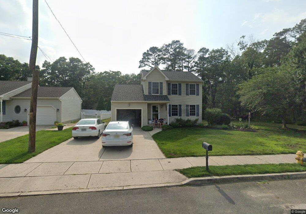
1320 Buck St Millville, NJ 08332
Estimated Value: $251,000 - $353,000
--
Bed
--
Bath
1,256
Sq Ft
$244/Sq Ft
Est. Value
About This Home
This home is located at 1320 Buck St, Millville, NJ 08332 and is currently estimated at $305,864, approximately $243 per square foot. 1320 Buck St is a home located in Cumberland County with nearby schools including R.D. Wood Elementary School, Lakeside Middle School, and Memorial High School.
Ownership History
Date
Name
Owned For
Owner Type
Purchase Details
Closed on
Jul 1, 2005
Sold by
Landmark Development #2 Llc
Bought by
Hutchings Brian
Current Estimated Value
Home Financials for this Owner
Home Financials are based on the most recent Mortgage that was taken out on this home.
Original Mortgage
$100,000
Outstanding Balance
$52,100
Interest Rate
5.63%
Mortgage Type
Purchase Money Mortgage
Estimated Equity
$253,764
Purchase Details
Closed on
Mar 21, 2005
Sold by
Randanella John
Bought by
Landmark Developers #2 Llc
Create a Home Valuation Report for This Property
The Home Valuation Report is an in-depth analysis detailing your home's value as well as a comparison with similar homes in the area
Home Values in the Area
Average Home Value in this Area
Purchase History
| Date | Buyer | Sale Price | Title Company |
|---|---|---|---|
| Hutchings Brian | $175,000 | -- | |
| Landmark Developers #2 Llc | $49,500 | -- |
Source: Public Records
Mortgage History
| Date | Status | Borrower | Loan Amount |
|---|---|---|---|
| Open | Hutchings Brian | $100,000 |
Source: Public Records
Tax History Compared to Growth
Tax History
| Year | Tax Paid | Tax Assessment Tax Assessment Total Assessment is a certain percentage of the fair market value that is determined by local assessors to be the total taxable value of land and additions on the property. | Land | Improvement |
|---|---|---|---|---|
| 2025 | $6,496 | $165,500 | $36,200 | $129,300 |
| 2024 | $6,496 | $165,500 | $36,200 | $129,300 |
| 2023 | $6,441 | $165,500 | $36,200 | $129,300 |
| 2022 | $6,274 | $165,500 | $36,200 | $129,300 |
| 2021 | $6,071 | $165,500 | $36,200 | $129,300 |
| 2020 | $5,970 | $165,500 | $36,200 | $129,300 |
| 2019 | $5,693 | $165,500 | $36,200 | $129,300 |
| 2018 | $5,576 | $165,500 | $36,200 | $129,300 |
| 2017 | $5,524 | $165,500 | $36,200 | $129,300 |
| 2016 | $5,455 | $165,500 | $36,200 | $129,300 |
| 2015 | $5,332 | $165,500 | $36,200 | $129,300 |
| 2014 | $5,342 | $165,500 | $36,200 | $129,300 |
Source: Public Records
Map
Nearby Homes
- 1216 Forest Dr
- 505 N 2nd St
- 405 Glenside Rd
- 3 Morningside Dr
- 1103 Buck St
- 17 W Foundry St
- 204 Sharp St
- 19 W Mcneal St
- 807 N 2nd St
- 3 Meadow Lark Ln
- 714 N 3rd St
- 722 Wheaton Ave Unit 724
- 724 Wheaton Ave
- 705 N 2nd St
- 408 W Powell St
- 10 E Broad St
- 409 W Powell St
- 323 D St
- 525 Dock St Unit B
- 525 Dock St