1322 Moontown Rd Brownsboro, AL 35741
Moontown NeighborhoodEstimated Value: $652,000 - $932,384
--
Bed
--
Bath
4,522
Sq Ft
$174/Sq Ft
Est. Value
About This Home
This home is located at 1322 Moontown Rd, Brownsboro, AL 35741 and is currently estimated at $788,596, approximately $174 per square foot. 1322 Moontown Rd is a home with nearby schools including Central School and Madison County High School.
Ownership History
Date
Name
Owned For
Owner Type
Purchase Details
Closed on
May 26, 2021
Sold by
Mcelwee Tina
Bought by
Mcelwee Michael Paul
Current Estimated Value
Home Financials for this Owner
Home Financials are based on the most recent Mortgage that was taken out on this home.
Original Mortgage
$360,000
Outstanding Balance
$273,334
Interest Rate
2.9%
Mortgage Type
New Conventional
Estimated Equity
$515,262
Purchase Details
Closed on
Jul 24, 2007
Sold by
Sheepgate Christian Fellowship
Bought by
Mcelwee Michael and Mcelwee Tina
Create a Home Valuation Report for This Property
The Home Valuation Report is an in-depth analysis detailing your home's value as well as a comparison with similar homes in the area
Home Values in the Area
Average Home Value in this Area
Purchase History
| Date | Buyer | Sale Price | Title Company |
|---|---|---|---|
| Mcelwee Michael Paul | $300,548 | None Available | |
| Mcelwee Michael | -- | -- |
Source: Public Records
Mortgage History
| Date | Status | Borrower | Loan Amount |
|---|---|---|---|
| Open | Mcelwee Michael Paul | $360,000 |
Source: Public Records
Tax History Compared to Growth
Tax History
| Year | Tax Paid | Tax Assessment Tax Assessment Total Assessment is a certain percentage of the fair market value that is determined by local assessors to be the total taxable value of land and additions on the property. | Land | Improvement |
|---|---|---|---|---|
| 2024 | $2,484 | $67,860 | $3,320 | $64,540 |
| 2023 | $2,420 | $66,080 | $3,300 | $62,780 |
| 2022 | $2,071 | $58,200 | $2,100 | $56,100 |
| 2021 | $1,849 | $52,120 | $2,080 | $50,040 |
| 2020 | $1,682 | $52,150 | $5,560 | $46,590 |
| 2019 | $1,620 | $50,430 | $5,560 | $44,870 |
| 2018 | $1,514 | $42,820 | $0 | $0 |
| 2017 | $1,513 | $42,800 | $0 | $0 |
| 2016 | $1,513 | $42,800 | $0 | $0 |
| 2015 | $1,513 | $42,800 | $0 | $0 |
| 2014 | $1,555 | $43,940 | $0 | $0 |
Source: Public Records
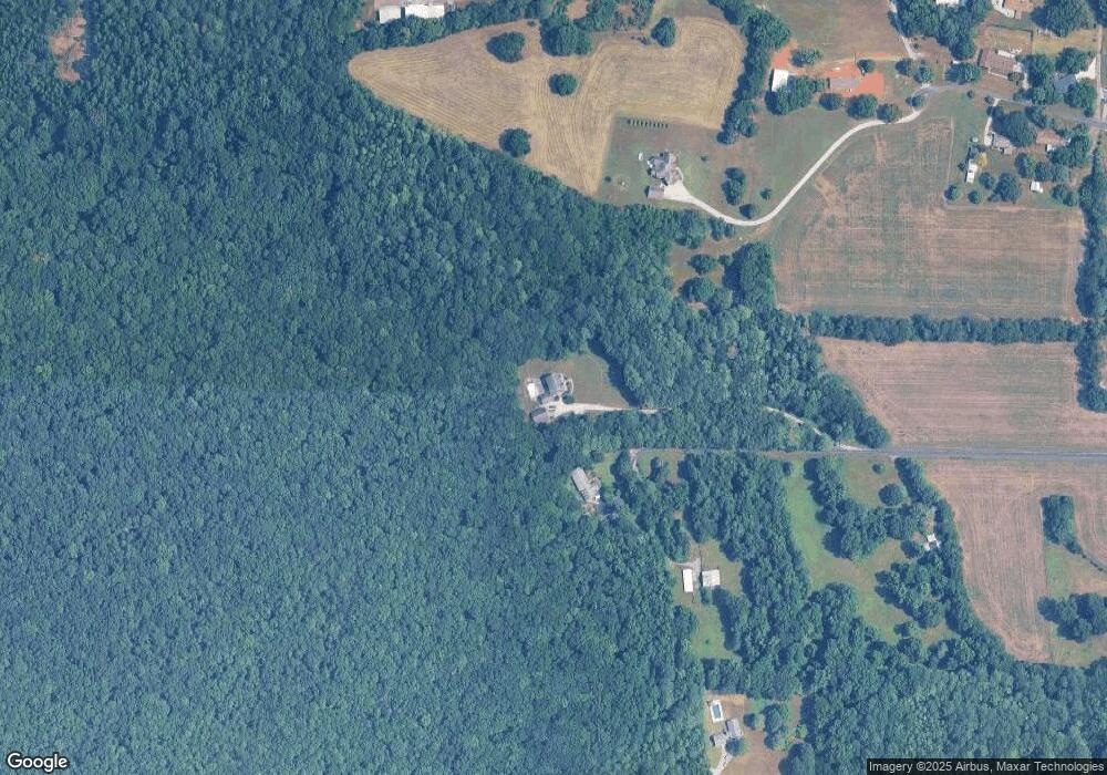
Map
Nearby Homes
- 160 Airport Dr
- PPin#507136 Moontown Rd
- TBD Petty Ln
- 136 Petty Ln
- 223 Midland Dr
- 227 Midland Dr
- 220 Oakland View Dr
- 2349 Dug Hill Rd
- 224 Oakland View Dr
- 230 Oakland View Dr
- 205 Oakland View Dr
- 233 Oakland View Dr
- 40 Acres Berry Rd
- 215 Teague Rd
- 191 Mills Cir
- 1750 Dug Hill Rd
- Ionia III H Plan at Cedar Gap Estates
- Rodessa IV H Plan at Cedar Gap Estates
- Rodessa IV G Plan at Cedar Gap Estates
- Comstock III G Plan at Cedar Gap Estates
- 1326 Moontown Rd
- 176 Morring Ln
- 1400 Moontown Rd
- 200 Airport Dr
- 142 Morring Ln
- 159 Morring Ln
- 154 Morring Ln
- 184 Airport Dr
- 1296 Moontown Rd
- 1276 Moontown Rd
- 1366 Moontown Rd
- 139 Morring Ln
- 126 Morring Ln
- 1312 Moontown Rd
- 1460 Moontown Rd
- 131 Morring Ln
- 144 Airport Dr
- 1262 Moontown Rd
- 1252 Moontown Rd
- 1385 Moontown Rd