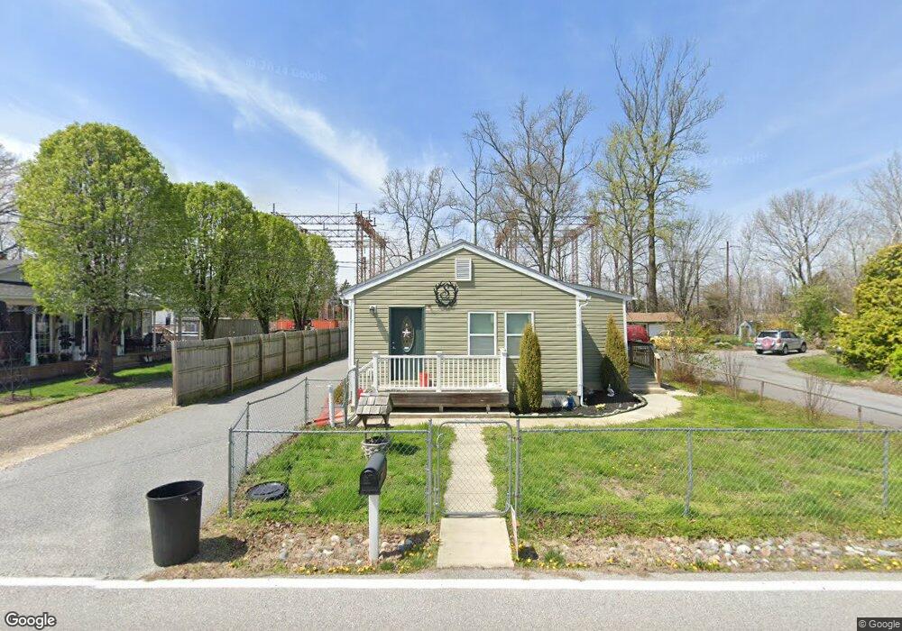
13226 Eastern Ave Middle River, MD 21220
Estimated Value: $241,000 - $292,000
--
Bed
1
Bath
1,203
Sq Ft
$223/Sq Ft
Est. Value
About This Home
This home is located at 13226 Eastern Ave, Middle River, MD 21220 and is currently estimated at $268,242, approximately $222 per square foot. 13226 Eastern Ave is a home located in Baltimore County with nearby schools including Oliver Beach Elementary, Middle River Middle School, and Kenwood High.
Ownership History
Date
Name
Owned For
Owner Type
Purchase Details
Closed on
May 25, 2018
Sold by
Hoenig Robert
Bought by
Hoenig Christina
Current Estimated Value
Purchase Details
Closed on
Sep 17, 2013
Sold by
Chassagne Louis J and Chassagne Gertrud
Bought by
Hoenig Robert
Purchase Details
Closed on
Feb 2, 2005
Sold by
Dunne John P
Bought by
Chassagne Louis J and Chassagne Gertrud
Purchase Details
Closed on
Feb 1, 2005
Sold by
Dunne John P
Bought by
Chassagne Louis J and Chassagne Gertrud
Create a Home Valuation Report for This Property
The Home Valuation Report is an in-depth analysis detailing your home's value as well as a comparison with similar homes in the area
Home Values in the Area
Average Home Value in this Area
Purchase History
| Date | Buyer | Sale Price | Title Company |
|---|---|---|---|
| Hoenig Christina | -- | None Available | |
| Hoenig Robert | $50,000 | None Available | |
| Chassagne Louis J | $50,000 | -- | |
| Chassagne Louis J | $50,000 | -- |
Source: Public Records
Tax History Compared to Growth
Tax History
| Year | Tax Paid | Tax Assessment Tax Assessment Total Assessment is a certain percentage of the fair market value that is determined by local assessors to be the total taxable value of land and additions on the property. | Land | Improvement |
|---|---|---|---|---|
| 2025 | $3,019 | $190,400 | -- | -- |
| 2024 | $3,019 | $178,300 | $0 | $0 |
| 2023 | $2,906 | $166,200 | $84,200 | $82,000 |
| 2022 | $2,802 | $163,467 | $0 | $0 |
| 2021 | $2,722 | $160,733 | $0 | $0 |
| 2020 | $2,722 | $158,000 | $84,200 | $73,800 |
| 2019 | $2,415 | $152,433 | $0 | $0 |
| 2018 | $2,395 | $146,867 | $0 | $0 |
| 2017 | $2,026 | $141,300 | $0 | $0 |
| 2016 | $2,534 | $141,300 | $0 | $0 |
| 2015 | $2,534 | $141,300 | $0 | $0 |
| 2014 | $2,534 | $141,300 | $0 | $0 |
Source: Public Records
Map
Nearby Homes
- 0 Greenbank Rd Unit MDBC2144858
- 6800 Gunder Ave
- 7230 Gunpowder Rd
- 12949 Eastern Ave
- 7231 Greenbank Rd
- 6820 Harewood Park Dr
- 7401 Greenbank Rd
- 7361 Chesapeake Rd
- 12733 Cunninghill Cove Rd
- 116 Trails Way
- 7 Freedom Ct
- 325 Oakway Ct
- 408 Berkshire Ct
- 120 Haverhill Rd
- 304 Foster Knoll Dr
- 10 Neptune Dr
- 306 Stillmeadow Dr
- 20 Neptune Dr
- 2 Old Sound Rd
- 4 Old Sound Rd
- 13230 Eastern Ave
- 13222 Eastern Ave
- 13227 Eastern Ave
- 13229 Eastern Ave
- 13223 Eastern Ave
- 13219 Eastern Ave
- 7019 Greenbank Rd
- 13218 Eastern Ave
- 13224 Rivervan Ave
- 13214 Eastern Ave
- 13222 Rivervan Ave
- 13215 Eastern Ave
- 7017 Greenbank Rd
- 13220 Rivervan Ave
- 7028 Greenbank Rd
- 13242 Sylvan Ave
- 7030 Greenbank Rd
- 13218 Rivervan Ave
- 7024 Greenbank Rd
- 7034 Greenbank Rd