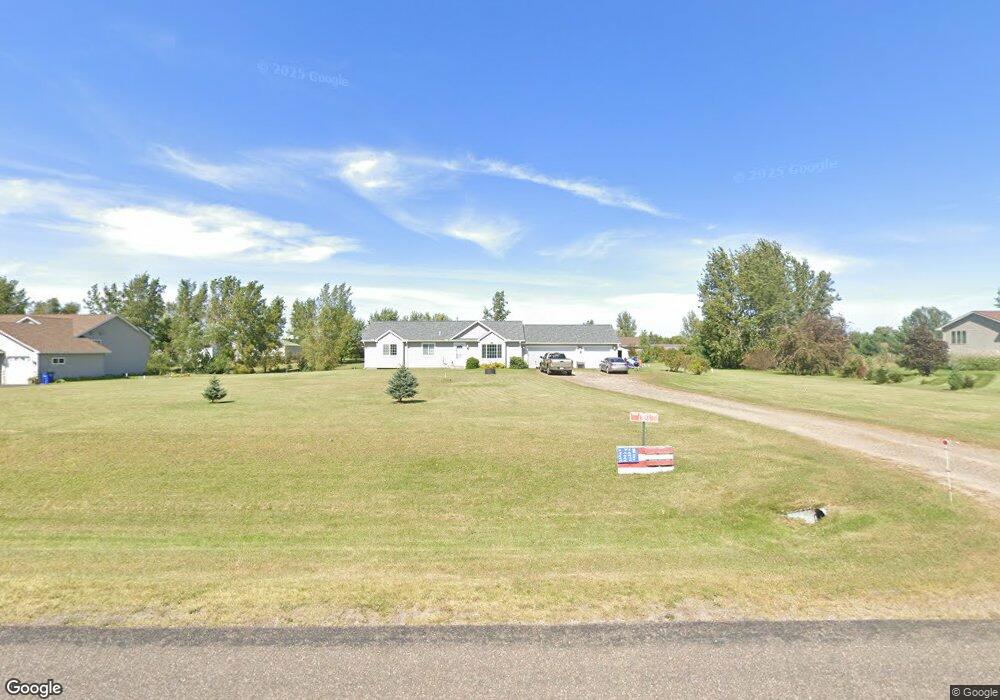
1326 212th Ave New Richmond, WI 54017
Estimated Value: $339,000 - $416,000
3
Beds
2
Baths
--
Sq Ft
1.28
Acres
About This Home
This home is located at 1326 212th Ave, New Richmond, WI 54017 and is currently estimated at $370,266. 1326 212th Ave is a home located in St. Croix County with nearby schools including New Richmond High School and St. Mary School.
Ownership History
Date
Name
Owned For
Owner Type
Purchase Details
Closed on
Oct 21, 2019
Sold by
Anco Joseph A
Bought by
Quinn Holdings Llc
Current Estimated Value
Home Financials for this Owner
Home Financials are based on the most recent Mortgage that was taken out on this home.
Original Mortgage
$167,000
Outstanding Balance
$146,300
Interest Rate
3.5%
Mortgage Type
Commercial
Estimated Equity
$223,966
Purchase Details
Closed on
Sep 15, 2006
Sold by
Mainstreet Bank
Bought by
Anco Joseph A and Anco Catherine A
Home Financials for this Owner
Home Financials are based on the most recent Mortgage that was taken out on this home.
Original Mortgage
$143,920
Interest Rate
6.7%
Mortgage Type
New Conventional
Purchase Details
Closed on
Dec 19, 2005
Sold by
Lodahl Paul C and Lodahl Selena M
Bought by
Mainstreet Bank
Create a Home Valuation Report for This Property
The Home Valuation Report is an in-depth analysis detailing your home's value as well as a comparison with similar homes in the area
Home Values in the Area
Average Home Value in this Area
Purchase History
| Date | Buyer | Sale Price | Title Company |
|---|---|---|---|
| Quinn Holdings Llc | $208,000 | Abstracts & Titles | |
| Anco Joseph A | $179,900 | River Valley Abst And Title | |
| Mainstreet Bank | -- | None Available |
Source: Public Records
Mortgage History
| Date | Status | Borrower | Loan Amount |
|---|---|---|---|
| Open | Quinn Holdings Llc | $167,000 | |
| Previous Owner | Anco Joseph A | $143,920 |
Source: Public Records
Tax History Compared to Growth
Tax History
| Year | Tax Paid | Tax Assessment Tax Assessment Total Assessment is a certain percentage of the fair market value that is determined by local assessors to be the total taxable value of land and additions on the property. | Land | Improvement |
|---|---|---|---|---|
| 2024 | $35 | $209,100 | $26,000 | $183,100 |
| 2023 | $3,198 | $209,100 | $26,000 | $183,100 |
| 2022 | $2,750 | $209,100 | $26,000 | $183,100 |
| 2021 | $2,768 | $209,100 | $26,000 | $183,100 |
| 2020 | $2,773 | $209,100 | $26,000 | $183,100 |
| 2019 | $2,674 | $209,100 | $26,000 | $183,100 |
| 2018 | $2,686 | $152,300 | $21,400 | $130,900 |
| 2017 | $2,616 | $152,300 | $21,400 | $130,900 |
| 2016 | $2,616 | $152,300 | $21,400 | $130,900 |
| 2015 | $2,504 | $152,300 | $21,400 | $130,900 |
| 2014 | $2,416 | $152,300 | $21,400 | $130,900 |
| 2013 | $2,475 | $152,300 | $21,400 | $130,900 |
Source: Public Records
Map
Nearby Homes
- 1320 216th Ave
- 2161 132nd St
- 2106 135th St
- 2167 County Road C
- 1290 220th Ave
- 2207 127th St
- 1269 202nd Ave
- 1152 County Road C
- 132 Hill Ave
- 1256 195th Ave
- 1408 Highway 64
- 6 W North Shore Dr
- 2 W North Shore Dr
- 3 W North Shore Dr
- 1172 Caneel St
- 227 N 4th St
- 987 Turner Ln
- 1094 N Shore Dr
- 1133 N Shore Dr
- 956 Turner Ln
- 1330 212th Ave
- 1322 212th Ave
- 1317 214th Ave
- 1321 214th Ave
- 1327 212th Ave
- 1321 212th Ave
- 1313 214th Ave
- 1334 212th Ave
- 1334 212th Ave
- 1316 212th Ave
- 1331 212th Ave
- 1325 214th Ave
- 1315 212th Ave
- 1309 214th Ave
- 1312 212th Ave
- 1335 212th Ave
- 1318 Stardusk Dr
- 1322 Stardusk Dr
- 1305 214th Ave
- 1322 214th Ave