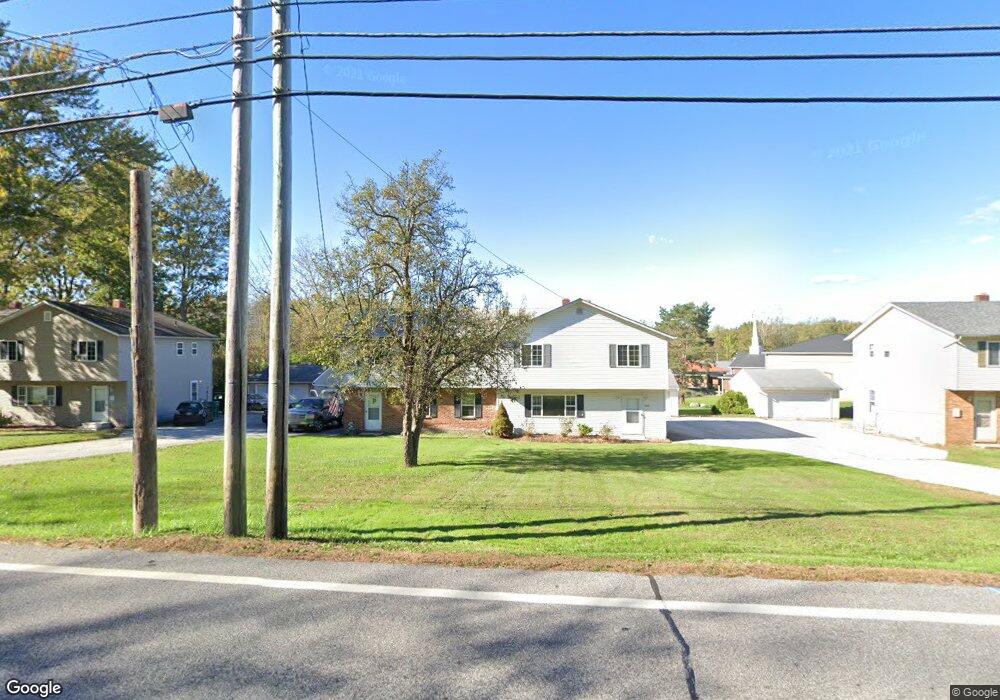
1329 Riverside Dr Painesville, OH 44077
Estimated Value: $202,000 - $371,000
4
Beds
2
Baths
1,512
Sq Ft
$177/Sq Ft
Est. Value
About This Home
This home is located at 1329 Riverside Dr, Painesville, OH 44077 and is currently estimated at $267,526, approximately $176 per square foot. 1329 Riverside Dr is a home located in Lake County with nearby schools including Henry F. Lamuth Middle School, Riverside Junior/Senior High School, and Summit Academy Community School - Painesville.
Ownership History
Date
Name
Owned For
Owner Type
Purchase Details
Closed on
Jun 20, 2014
Sold by
Kaim Frank A
Bought by
F & J Properties Of Ohio Llc
Current Estimated Value
Purchase Details
Closed on
Jun 10, 2014
Sold by
Kaim Jane A
Bought by
F & J Properties Of Ohio Llc
Purchase Details
Closed on
Aug 30, 2007
Sold by
Kaim Properties Llc
Bought by
Kaim Frank A and Kaim Frank
Purchase Details
Closed on
Apr 16, 2004
Sold by
Kaim Frank A and Kaim Jane
Bought by
Kaim Properties Llc
Home Financials for this Owner
Home Financials are based on the most recent Mortgage that was taken out on this home.
Original Mortgage
$850,000
Interest Rate
5.66%
Mortgage Type
Unknown
Purchase Details
Closed on
Jan 1, 1990
Bought by
Kaim Frank A
Create a Home Valuation Report for This Property
The Home Valuation Report is an in-depth analysis detailing your home's value as well as a comparison with similar homes in the area
Home Values in the Area
Average Home Value in this Area
Purchase History
| Date | Buyer | Sale Price | Title Company |
|---|---|---|---|
| F & J Properties Of Ohio Llc | -- | Enterprise Title | |
| F & J Properties Of Ohio Llc | -- | Enterprise Title | |
| Kaim Jane A | -- | Enterprise Title | |
| Kaim Frank A | -- | Enterprise Title | |
| Kaim Frank A | -- | Enterprise Title | |
| Kaim Frank A | -- | Attorney | |
| Kaim Properties Llc | -- | Main Street Title Agency | |
| Kaim Frank A | -- | Main Street Title Agency | |
| Kaim Frank A | -- | -- |
Source: Public Records
Mortgage History
| Date | Status | Borrower | Loan Amount |
|---|---|---|---|
| Previous Owner | Kaim Frank A | $850,000 |
Source: Public Records
Tax History Compared to Growth
Tax History
| Year | Tax Paid | Tax Assessment Tax Assessment Total Assessment is a certain percentage of the fair market value that is determined by local assessors to be the total taxable value of land and additions on the property. | Land | Improvement |
|---|---|---|---|---|
| 2024 | -- | $62,730 | $21,750 | $40,980 |
| 2023 | $5,456 | $50,070 | $17,370 | $32,700 |
| 2022 | $3,042 | $50,070 | $17,370 | $32,700 |
| 2021 | $3,053 | $50,070 | $17,370 | $32,700 |
| 2020 | $3,009 | $43,550 | $15,110 | $28,440 |
| 2019 | $3,031 | $43,550 | $15,110 | $28,440 |
| 2018 | $3,031 | $42,000 | $13,170 | $28,830 |
| 2017 | $3,022 | $42,000 | $13,170 | $28,830 |
| 2016 | $2,674 | $42,000 | $13,170 | $28,830 |
| 2015 | $2,467 | $42,000 | $13,170 | $28,830 |
| 2014 | $2,508 | $42,000 | $13,170 | $28,830 |
| 2013 | $2,453 | $42,000 | $13,170 | $28,830 |
Source: Public Records
Map
Nearby Homes
- 30 Orton Rd
- 54 Park Rd
- 1160 Riverside Dr
- 302 Maplebrook Dr Unit 302
- 238 Radley Dr
- 5406 Pebble Creek Ln
- 65 Tanners Farm Dr
- 67 Tanners Farm Dr
- 44 Grove Ave
- 55 Grove Ave
- 1182 Dalton Dr
- 1172 Dalton Dr
- 43 Bristol Ave
- 104 Overlook Rd
- 85 Nelmar Dr
- 65 Country Ln
- 396 Park Rd
- 48 Nelmar Dr
- V/L Morgan Dr
- 500 Park Rd
- 1327 Riverside Dr
- 1315 Riverside Dr
- 1317 Riverside Dr Unit 1319
- 1337 Riverside Dr Unit 1339
- 1339 Riverside Dr
- 1347 Riverside Dr
- 1324 Riverside Dr
- 1340 Riverside Dr
- 1297 Riverside Dr
- 1295 Riverside Dr
- 15 Hickory Hill Rd
- 1370 Riverside Dr
- 1369 Riverside Dr
- 10 Hickory Hill Rd
- 1285 Riverside Dr
- 1284 Riverside Dr
- 150 Park Rd
- 25 Hickory Hill Rd
- 30 Hickory Hill Rd
- 1382 Riverside Dr