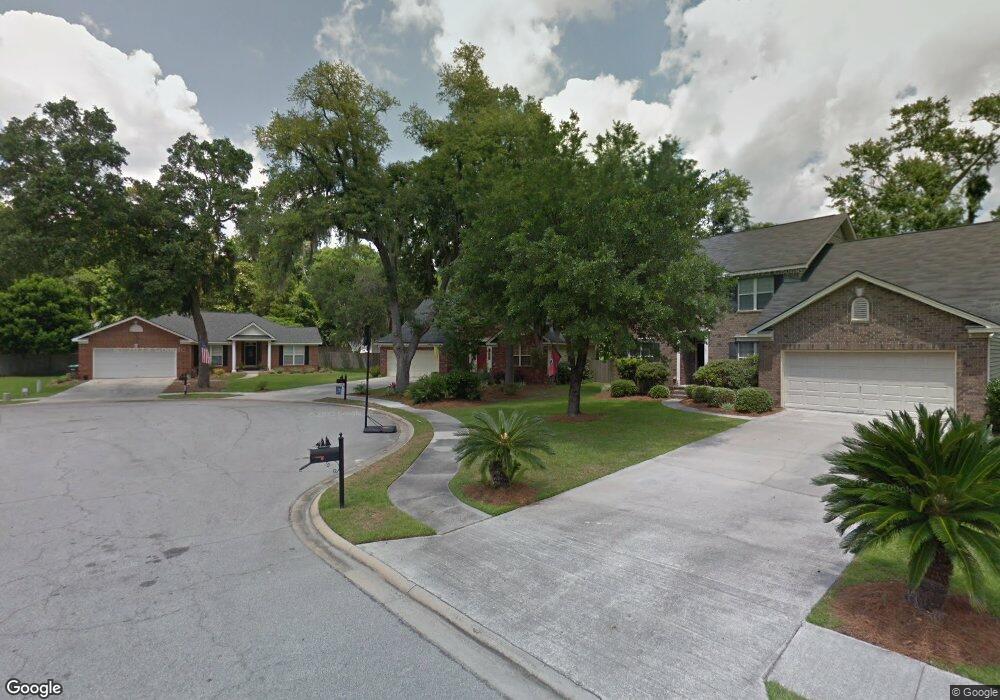
133 Captain Johns Dr Savannah, GA 31410
Estimated Value: $545,000 - $585,000
4
Beds
3
Baths
2,296
Sq Ft
$249/Sq Ft
Est. Value
About This Home
This home is located at 133 Captain Johns Dr, Savannah, GA 31410 and is currently estimated at $572,268, approximately $249 per square foot. 133 Captain Johns Dr is a home located in Chatham County with nearby schools including Howard Elementary School, Coastal Middle School, and Islands High School.
Ownership History
Date
Name
Owned For
Owner Type
Purchase Details
Closed on
Aug 20, 2012
Sold by
Fields William S
Bought by
Fields Janet B
Current Estimated Value
Purchase Details
Closed on
Mar 24, 2008
Sold by
Not Provided
Bought by
Fields Janet B and Fields William S
Home Financials for this Owner
Home Financials are based on the most recent Mortgage that was taken out on this home.
Original Mortgage
$181,300
Interest Rate
5.97%
Mortgage Type
New Conventional
Create a Home Valuation Report for This Property
The Home Valuation Report is an in-depth analysis detailing your home's value as well as a comparison with similar homes in the area
Home Values in the Area
Average Home Value in this Area
Purchase History
| Date | Buyer | Sale Price | Title Company |
|---|---|---|---|
| Fields Janet B | -- | -- | |
| Fields Janet B | $259,000 | -- | |
| Fields Janet B | $259,000 | -- |
Source: Public Records
Mortgage History
| Date | Status | Borrower | Loan Amount |
|---|---|---|---|
| Previous Owner | Fields Janet B | $181,300 | |
| Previous Owner | Fields Janet B | $64,750 |
Source: Public Records
Tax History Compared to Growth
Tax History
| Year | Tax Paid | Tax Assessment Tax Assessment Total Assessment is a certain percentage of the fair market value that is determined by local assessors to be the total taxable value of land and additions on the property. | Land | Improvement |
|---|---|---|---|---|
| 2025 | $5,184 | $187,160 | $48,000 | $139,160 |
| 2024 | $5,184 | $186,160 | $48,000 | $138,160 |
| 2023 | $3,971 | $144,320 | $27,840 | $116,480 |
| 2022 | $3,902 | $133,120 | $27,840 | $105,280 |
| 2021 | $3,997 | $117,600 | $27,840 | $89,760 |
| 2020 | $4,158 | $114,920 | $27,840 | $87,080 |
| 2019 | $4,268 | $125,960 | $27,840 | $98,120 |
| 2018 | $4,010 | $113,480 | $27,840 | $85,640 |
| 2017 | $3,866 | $114,000 | $27,840 | $86,160 |
| 2016 | $3,289 | $103,680 | $27,840 | $75,840 |
| 2015 | $3,390 | $106,560 | $27,840 | $78,720 |
| 2014 | $4,470 | $107,800 | $0 | $0 |
Source: Public Records
Map
Nearby Homes
- 128 Mary Musgrove Dr
- 127 Druid Cir
- 1106 Oakleaf Dr
- 1024 Walthour Rd
- 1022 Walthour Rd
- 710 Leaning Oaks Dr
- 24 Crisp St
- 127 Penn Station
- 903 Moss Dr
- 104 Saint Andrews Way
- 209 Deerwood Rd
- 903 Sandpiper Rd
- 2 Brittlewood Ct
- 229 Island Creek Ln
- 235 Island Creek Ln
- 17 N Cromwell Rd
- 12 Cromwell Place
- 810 Walthour Rd
- 401 N Cromwell Rd Unit 2Q
- 401 N Cromwell Rd Unit F6
- 135 Captain Johns Dr
- 131 Captain Johns Dr
- 134 Captain Johns Dr
- 129 Captain Johns Dr
- 132 Captain Johns Dr
- 130 Captain Johns Dr
- 6 Wigmore Ct
- 5 Wigmore Ct
- 128 Captain Johns Dr
- 127 Captain Johns Dr
- 6 Old Fort Way
- 3 Wigmore Ct
- 308 Gloucester Rd
- 306 Gloucester Rd
- 4 Old Fort Way
- 4 Wigmore Ct
- 8 Old Fort Way
- 125 Captain Johns Dr
- 2 Old Fort Way
- 310 Gloucester Rd