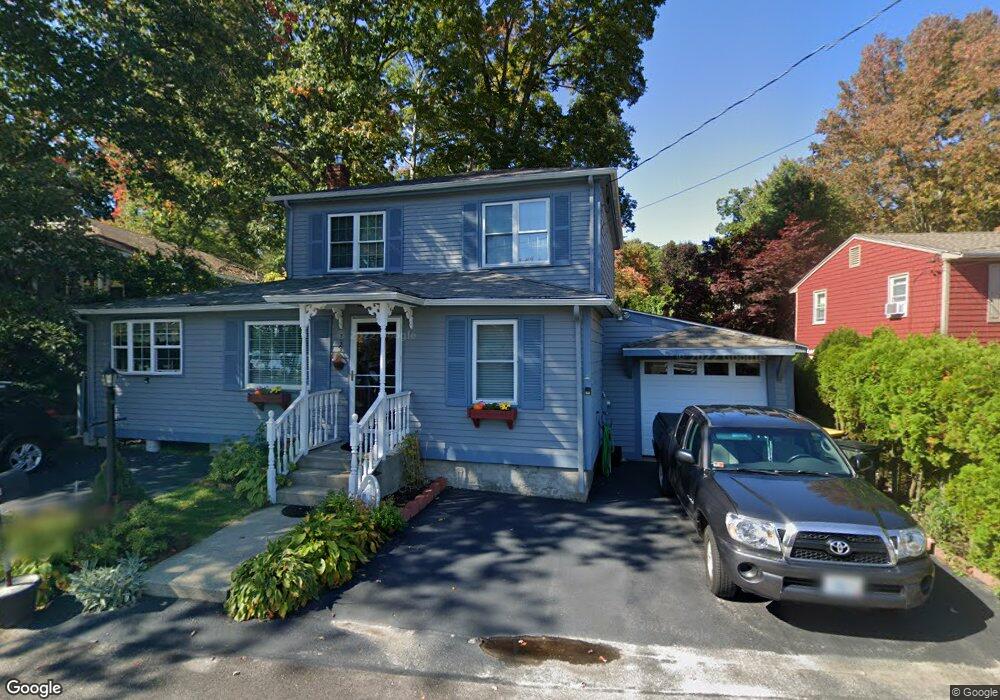
133 Lake Shore Dr Pascoag, RI 02859
Pascoag-Harrisville NeighborhoodEstimated Value: $409,000 - $502,000
4
Beds
2
Baths
1,712
Sq Ft
$255/Sq Ft
Est. Value
About This Home
This home is located at 133 Lake Shore Dr, Pascoag, RI 02859 and is currently estimated at $437,073, approximately $255 per square foot. 133 Lake Shore Dr is a home with nearby schools including Austin T. Levy School, Burrillville Middle School, and Burrillville High School.
Ownership History
Date
Name
Owned For
Owner Type
Purchase Details
Closed on
Aug 29, 2022
Sold by
Ethier Denise C
Bought by
Denise C Ethier Ret
Current Estimated Value
Purchase Details
Closed on
Mar 27, 1987
Bought by
Ethier David P and Ethier Denise C
Create a Home Valuation Report for This Property
The Home Valuation Report is an in-depth analysis detailing your home's value as well as a comparison with similar homes in the area
Home Values in the Area
Average Home Value in this Area
Purchase History
| Date | Buyer | Sale Price | Title Company |
|---|---|---|---|
| Denise C Ethier Ret | -- | None Available | |
| Ethier David P | -- | -- |
Source: Public Records
Mortgage History
| Date | Status | Borrower | Loan Amount |
|---|---|---|---|
| Previous Owner | Ethier David P | $33,000 | |
| Previous Owner | Ethier David P | $93,000 | |
| Previous Owner | Ethier David P | $85,500 |
Source: Public Records
Tax History Compared to Growth
Tax History
| Year | Tax Paid | Tax Assessment Tax Assessment Total Assessment is a certain percentage of the fair market value that is determined by local assessors to be the total taxable value of land and additions on the property. | Land | Improvement |
|---|---|---|---|---|
| 2025 | $4,165 | $350,000 | $78,200 | $271,800 |
| 2024 | $3,950 | $263,700 | $62,600 | $201,100 |
| 2023 | $3,795 | $263,700 | $62,600 | $201,100 |
| 2022 | $3,668 | $263,700 | $62,600 | $201,100 |
| 2021 | $3,800 | $231,400 | $63,700 | $167,700 |
| 2020 | $3,705 | $231,400 | $63,700 | $167,700 |
| 2019 | $3,702 | $231,400 | $63,700 | $167,700 |
| 2018 | $3,336 | $183,300 | $57,200 | $126,100 |
| 2017 | $3,219 | $183,300 | $57,200 | $126,100 |
| 2016 | $3,188 | $183,300 | $57,200 | $126,100 |
| 2015 | $2,685 | $142,200 | $57,800 | $84,400 |
| 2014 | $2,362 | $137,000 | $57,800 | $79,200 |
Source: Public Records
Map
Nearby Homes
- 0 Griffin St Unit 1387114
- 156 Broad St
- 161 Sayles Ave
- 393 Church St
- 248 Church St
- 248-252 Church St
- 460 Camp Dixie Rd
- 265 Sayles Ave Unit 1
- 75 Marion Ave
- 74 Grove St
- 490 Court House Ln
- 460 Church St
- 48 Shea Ln
- 71 Centennial St
- 25 Melissa Ln
- 420 E Wallum Lake Rd
- 361 Chapel St
- 0 Mowry St
- 22 Sanwood Dr
- 74 Crystal Terrace
- 131 Lake Shore Dr
- 141 Lake Shore Dr
- 70 Shady Ln
- 121 Lake Shore Dr
- 130 Lake Shore Dr
- 136 Lake Shore Dr
- 126 Lake Shore Dr
- 151 Lake Shore Dr
- 120 Lake Shore Dr
- 150 Lake Shore Dr
- 12 Shady Ln
- 40 Shady Ln
- 157 Lake Shore Dr
- 152 Lake Shore Dr
- 7 Shady Ln
- 103 Lake Shore Dr
- 116 Lake Shore Dr
- 25 Shady Ln
- 15 Shady Ln
- 161 Lake Shore Dr