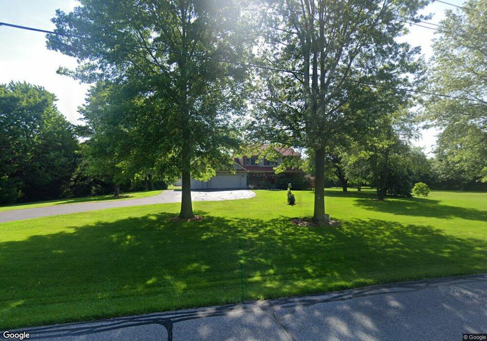
133 Smoke Rd Valparaiso, IN 46385
Porter County NeighborhoodEstimated Value: $411,000 - $600,337
3
Beds
3
Baths
1,871
Sq Ft
$259/Sq Ft
Est. Value
About This Home
This home is located at 133 Smoke Rd, Valparaiso, IN 46385 and is currently estimated at $485,084, approximately $259 per square foot. 133 Smoke Rd is a home located in Porter County with nearby schools including Morgan Township Elementary School and Morgan Township Middle/High School.
Create a Home Valuation Report for This Property
The Home Valuation Report is an in-depth analysis detailing your home's value as well as a comparison with similar homes in the area
Home Values in the Area
Average Home Value in this Area
Tax History Compared to Growth
Tax History
| Year | Tax Paid | Tax Assessment Tax Assessment Total Assessment is a certain percentage of the fair market value that is determined by local assessors to be the total taxable value of land and additions on the property. | Land | Improvement |
|---|---|---|---|---|
| 2024 | $4,240 | $531,500 | $119,200 | $412,300 |
| 2023 | $3,918 | $492,900 | $105,100 | $387,800 |
| 2022 | $3,804 | $448,800 | $104,400 | $344,400 |
| 2021 | $3,738 | $403,900 | $104,100 | $299,800 |
| 2020 | $3,324 | $362,900 | $90,400 | $272,500 |
| 2019 | $3,150 | $334,000 | $90,800 | $243,200 |
| 2018 | $3,027 | $326,700 | $90,900 | $235,800 |
| 2017 | $2,955 | $320,200 | $91,300 | $228,900 |
| 2016 | $2,726 | $305,100 | $93,600 | $211,500 |
| 2014 | $2,846 | $299,200 | $90,800 | $208,400 |
| 2013 | -- | $290,300 | $91,300 | $199,000 |
Source: Public Records
Map
Nearby Homes
- 0 Smoke Rd
- 48 E Division Rd
- 501 Eagle Ct
- 3152 Heavilin Rd
- 3359 Blue Jay Dr
- 197 Appaloosa Ln
- 2655 Vivante Dr
- 239 Bayberry Ct
- 176 S 200 W
- 3251 Mockingbird Ln
- 3353 Field Hawk Dr
- 183 Cimarron Dr
- 2658 Arran Quay Terrace
- 2054 Lawndale Dr
- 16 S 200 W
- 351 S 100 W
- 1954 Lawndale Dr
- 2551 Saint Road 2
- 279 S State Road 49
- 1556 Smoke Rd