13305 Mary Bowie Pkwy Upper Marlboro, MD 20774
Estimated Value: $801,000 - $974,000
--
Bed
1
Bath
4,080
Sq Ft
$213/Sq Ft
Est. Value
About This Home
This home is located at 13305 Mary Bowie Pkwy, Upper Marlboro, MD 20774 and is currently estimated at $867,686, approximately $212 per square foot. 13305 Mary Bowie Pkwy is a home located in Prince George's County with nearby schools including Perrywood Elementary School, Kettering Middle School, and Dr. Henry A. Wise Jr. High School.
Ownership History
Date
Name
Owned For
Owner Type
Purchase Details
Closed on
Sep 2, 2015
Sold by
Nvr Inc
Bought by
Andrews Earl and Andrews Brenda
Current Estimated Value
Home Financials for this Owner
Home Financials are based on the most recent Mortgage that was taken out on this home.
Original Mortgage
$605,611
Interest Rate
3.79%
Mortgage Type
VA
Purchase Details
Closed on
Jun 14, 2012
Sold by
Club Group Inc
Bought by
Nvr Ms Cavalier Oak Creek Owner Llc
Create a Home Valuation Report for This Property
The Home Valuation Report is an in-depth analysis detailing your home's value as well as a comparison with similar homes in the area
Home Values in the Area
Average Home Value in this Area
Purchase History
| Date | Buyer | Sale Price | Title Company |
|---|---|---|---|
| Andrews Earl | $586,265 | Stewart Title Guaranty Co | |
| Nvr Ms Cavalier Oak Creek Owner Llc | $9,160,000 | None Available |
Source: Public Records
Mortgage History
| Date | Status | Borrower | Loan Amount |
|---|---|---|---|
| Previous Owner | Andrews Earl | $605,611 |
Source: Public Records
Tax History Compared to Growth
Tax History
| Year | Tax Paid | Tax Assessment Tax Assessment Total Assessment is a certain percentage of the fair market value that is determined by local assessors to be the total taxable value of land and additions on the property. | Land | Improvement |
|---|---|---|---|---|
| 2025 | $10,683 | $787,300 | $176,000 | $611,300 |
| 2024 | $10,683 | $713,667 | $0 | $0 |
| 2023 | $9,619 | $640,033 | $0 | $0 |
| 2022 | $6,298 | $566,400 | $201,000 | $365,400 |
| 2021 | $8,556 | $566,400 | $201,000 | $365,400 |
| 2020 | $9,977 | $566,400 | $201,000 | $365,400 |
| 2019 | $8,615 | $570,500 | $150,500 | $420,000 |
| 2018 | $9,373 | $554,333 | $0 | $0 |
| 2017 | $6,685 | $538,167 | $0 | $0 |
| 2016 | -- | $522,000 | $0 | $0 |
| 2015 | $435 | $31,300 | $0 | $0 |
| 2014 | $435 | $31,300 | $0 | $0 |
Source: Public Records
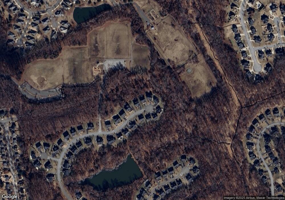
Map
Nearby Homes
- 13500 Mary Bowie Pkwy
- 327 Panora Way
- 13712 New Acadia Ln
- 13231 Whiteholm Dr
- 13300 Burleigh St
- 13214 Eddington Dr
- 13914 New Acadia Ln
- 14007 Mary Bowie Pkwy
- 13507 Leesburg Place
- 13201 Eddington Dr
- 13502 Leesburg Place
- 13108 Keverton Dr
- 14040 New Acadia Ln Unit 406
- 12916 Fox Bow Dr Unit 107
- 13403 Hillrod Ln
- 401 Rifton Ct
- 1 Rosebud Ct
- 203 Dauntly St
- 12900 Fox Bow Dr Unit 206
- 100 Essenton Dr
- 13307 Mary Bowie Pkwy
- 13303 Mary Bowie Pkwy
- 13301 Mary Bowie Pkwy
- 13309 Mary Bowie Pkwy
- 13304 Mary Bowie Pkwy Unit BASEMENT
- 13304 Mary Bowie Pkwy
- 13308 Mary Bowie Pkwy
- 14505 Mary Bowie Pkwy
- 13300 Mary Bowie Pkwy
- 13302 Mary Bowie Pkwy
- 13311 Mary Bowie Pkwy
- 13310 Mary Bowie Pkwy
- 13313 Mary Bowie Pkwy
- 13312 Mary Bowie Pkwy
- 13315 Mary Bowie Pkwy
- 13314 Mary Bowie Pkwy
- 13316 Mary Bowie Pkwy
- 13321 Mary Bowie Pkwy
- 13630 New Acadia Ln
- 13401 Mary Bowie Pkwy