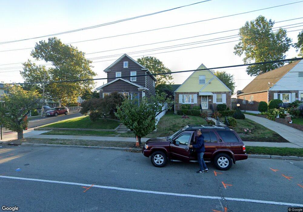
13307 Springfield Blvd Springfield Gardens, NY 11413
Laurelton NeighborhoodEstimated Value: $655,000 - $688,000
--
Bed
--
Bath
1,063
Sq Ft
$631/Sq Ft
Est. Value
About This Home
This home is located at 13307 Springfield Blvd, Springfield Gardens, NY 11413 and is currently estimated at $670,658, approximately $630 per square foot. 13307 Springfield Blvd is a home located in Queens County with nearby schools including P.S. 132 - Ralph Bunche, Is 59 Springfield Gardens, and Success Academy Springfield Gardens.
Ownership History
Date
Name
Owned For
Owner Type
Purchase Details
Closed on
Sep 23, 2019
Sold by
Smith Hugh L
Bought by
Smith Hugh L and Smith Monica A
Current Estimated Value
Purchase Details
Closed on
Aug 30, 2006
Sold by
Cowan Joe J and Cowan Odessa
Bought by
Smith Hugh
Home Financials for this Owner
Home Financials are based on the most recent Mortgage that was taken out on this home.
Original Mortgage
$376,000
Interest Rate
6.71%
Mortgage Type
Purchase Money Mortgage
Create a Home Valuation Report for This Property
The Home Valuation Report is an in-depth analysis detailing your home's value as well as a comparison with similar homes in the area
Home Values in the Area
Average Home Value in this Area
Purchase History
| Date | Buyer | Sale Price | Title Company |
|---|---|---|---|
| Smith Hugh L | -- | -- | |
| Smith Hugh | $470,000 | -- |
Source: Public Records
Mortgage History
| Date | Status | Borrower | Loan Amount |
|---|---|---|---|
| Previous Owner | Smith Hugh | $376,000 |
Source: Public Records
Tax History Compared to Growth
Tax History
| Year | Tax Paid | Tax Assessment Tax Assessment Total Assessment is a certain percentage of the fair market value that is determined by local assessors to be the total taxable value of land and additions on the property. | Land | Improvement |
|---|---|---|---|---|
| 2025 | $6,510 | $32,659 | $10,526 | $22,133 |
| 2024 | $6,510 | $32,412 | $11,616 | $20,796 |
| 2023 | $6,142 | $30,578 | $10,300 | $20,278 |
| 2022 | $5,759 | $33,240 | $13,440 | $19,800 |
| 2021 | $5,728 | $35,580 | $13,440 | $22,140 |
| 2020 | $5,761 | $33,960 | $13,440 | $20,520 |
| 2019 | $4,991 | $30,060 | $13,440 | $16,620 |
| 2018 | $4,535 | $25,482 | $11,325 | $14,157 |
| 2017 | $4,255 | $24,040 | $11,966 | $12,074 |
| 2016 | $3,913 | $24,040 | $11,966 | $12,074 |
| 2015 | $2,297 | $22,680 | $12,806 | $9,874 |
| 2014 | $2,297 | $22,510 | $14,190 | $8,320 |
Source: Public Records
Map
Nearby Homes
- 21608 Merrick Blvd
- 218-36 133rd Rd
- 12512 Nepton St
- 187-01 Ridgedale St
- 21931 133rd Ave
- 21917 132nd Rd
- 21611 135th Ave
- 133-15 220th St
- 187-16 Williamson Ave
- 187-04 Williamson Ave
- 13049 217th St
- 19115 Williamson Ave
- 134-16 221st St
- 18806 Nashville Blvd
- 192-17 Williamson Ave
- 130-25 217th St
- 21924 130th Dr
- 19332 Williamson Ave
- 220-27 134th Rd
- 220-24 134th Rd
- 13311 Springfield Blvd
- 13301 Springfield Blvd
- 21612 133rd Ave
- 13315 Springfield Blvd
- 216-12 133rd Ave
- 21616 133rd Ave
- 21615 133rd Rd
- 13319 Springfield Blvd
- 21605 133rd Ave
- 21617 133rd Rd
- 21620 133rd Ave
- 21621 133rd Rd
- 216-21 133rd Rd
- 216-21 133rd Rd Unit house
- 13245 Springfield Blvd
- 21615 133rd Ave
- 21701 133rd Rd
- 21702 133rd Ave
- 13241 Springfield Blvd
- 13242 217th St