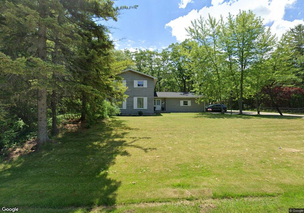
1333 Forest Ave Rogers City, MI 49779
Estimated Value: $231,000 - $420,000
4
Beds
3
Baths
1,954
Sq Ft
$156/Sq Ft
Est. Value
About This Home
This home is located at 1333 Forest Ave, Rogers City, MI 49779 and is currently estimated at $305,080, approximately $156 per square foot. 1333 Forest Ave is a home located in Presque Isle County with nearby schools including Rogers City Elementary School, Rogers City High School, and Rogers City Montessori School.
Ownership History
Date
Name
Owned For
Owner Type
Purchase Details
Closed on
Aug 27, 2011
Sold by
Allum Sheela
Bought by
Saile Adam P
Current Estimated Value
Home Financials for this Owner
Home Financials are based on the most recent Mortgage that was taken out on this home.
Original Mortgage
$120,000
Outstanding Balance
$83,459
Interest Rate
4.59%
Mortgage Type
Purchase Money Mortgage
Estimated Equity
$221,621
Purchase Details
Closed on
May 27, 2009
Sold by
Welch Allum Robert Fraser and Welch Allum Sheela
Bought by
Allum Sheela
Create a Home Valuation Report for This Property
The Home Valuation Report is an in-depth analysis detailing your home's value as well as a comparison with similar homes in the area
Home Values in the Area
Average Home Value in this Area
Purchase History
| Date | Buyer | Sale Price | Title Company |
|---|---|---|---|
| Saile Adam P | $150,000 | -- | |
| Allum Sheela | -- | -- |
Source: Public Records
Mortgage History
| Date | Status | Borrower | Loan Amount |
|---|---|---|---|
| Open | Saile Adam P | $120,000 |
Source: Public Records
Tax History Compared to Growth
Tax History
| Year | Tax Paid | Tax Assessment Tax Assessment Total Assessment is a certain percentage of the fair market value that is determined by local assessors to be the total taxable value of land and additions on the property. | Land | Improvement |
|---|---|---|---|---|
| 2025 | $2,776 | $127,700 | $0 | $0 |
| 2024 | $2,216 | $108,800 | $0 | $0 |
| 2023 | $2,114 | $99,500 | $0 | $0 |
| 2022 | $2,559 | $82,900 | $0 | $0 |
| 2021 | $2,478 | $78,900 | $0 | $0 |
| 2020 | $2,400 | $68,300 | $0 | $0 |
| 2019 | $2,356 | $67,200 | $0 | $0 |
| 2018 | $2,300 | $66,500 | $0 | $0 |
| 2016 | -- | $60,500 | $0 | $0 |
| 2014 | -- | $62,400 | $0 | $0 |
Source: Public Records
Map
Nearby Homes
- 1053 St Paul St
- 1089 Dettloff St
- 1194 Larke Ave
- 440 Hemlock St
- 354 N 6th St
- 1334 N Cedar St
- 360 E Huron Ave
- 0 M-68 Unit 201836886
- 0 M-68 Unit 28 Acres 201828504
- 312 E Orchard St
- 0 451 Hwy Unit 201834784
- 0 Airport Hwy & County Road 451 Unit 201836885
- 0 M-68 Hwy and Airport Rd Unit 201836887
- V/L W Airport Hwy
- 0 W Airport Hwy Unit 201835935
- 0 Airport Hwy Unit 201836889
- 0 Airport Hwy Unit 201836891
- 1367 Wenzel Hwy
- 1473 W Heythaler Hwy
- 3997 Vermeersch Rd
- 1317 Forest Ave
- 1315 Forest Ave
- 1324 Bertram St
- 1324 Bertram St
- 1324 Bertram St
- 1365 Forest Ave
- 1365 Forest Ave
- 1051 Elizabeth St
- 1051 Elizabeth St
- 1051 Elizabeth St
- 1051 Elizabeth St
- 1051 Elizabeth St
- 1067 Marquette St
- 0 Bertram St Unit 266088
- 1333 Bertram St
- 1365 Bertram St
- 1080 Marquette St
- 1053 Marquette St
- 1375 Forest Ave
- 1291 Forest Ave