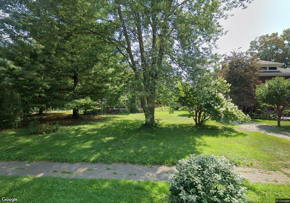
1333 Maple Ave Fort Wayne, IN 46807
Broad River NeighborhoodEstimated Value: $287,000 - $310,583
5
Beds
3
Baths
3,124
Sq Ft
$95/Sq Ft
Est. Value
About This Home
This home is located at 1333 Maple Ave, Fort Wayne, IN 46807 and is currently estimated at $297,896, approximately $95 per square foot. 1333 Maple Ave is a home located in Allen County with nearby schools including South Wayne Elementary School, Portage Middle School, and South Side High School.
Ownership History
Date
Name
Owned For
Owner Type
Purchase Details
Closed on
Jun 29, 2012
Sold by
Baker Daniel R and Sprague Victoria M
Bought by
Baker Daniel R and Sprague Victoria M
Current Estimated Value
Purchase Details
Closed on
Oct 30, 2003
Sold by
Garstka James L and Garstka Jean P
Bought by
Baker Daniel R and Baker Victoria
Home Financials for this Owner
Home Financials are based on the most recent Mortgage that was taken out on this home.
Original Mortgage
$150,000
Outstanding Balance
$69,734
Interest Rate
6.04%
Mortgage Type
Purchase Money Mortgage
Estimated Equity
$228,162
Create a Home Valuation Report for This Property
The Home Valuation Report is an in-depth analysis detailing your home's value as well as a comparison with similar homes in the area
Home Values in the Area
Average Home Value in this Area
Purchase History
| Date | Buyer | Sale Price | Title Company |
|---|---|---|---|
| Baker Daniel R | -- | Lawyers Title | |
| Baker Daniel R | -- | -- |
Source: Public Records
Mortgage History
| Date | Status | Borrower | Loan Amount |
|---|---|---|---|
| Open | Baker Daniel R | $150,000 |
Source: Public Records
Tax History Compared to Growth
Tax History
| Year | Tax Paid | Tax Assessment Tax Assessment Total Assessment is a certain percentage of the fair market value that is determined by local assessors to be the total taxable value of land and additions on the property. | Land | Improvement |
|---|---|---|---|---|
| 2024 | $3,395 | $288,200 | $15,300 | $272,900 |
| 2023 | $3,395 | $295,000 | $16,300 | $278,700 |
| 2022 | $2,541 | $226,900 | $16,300 | $210,600 |
| 2021 | $2,009 | $181,500 | $16,300 | $165,200 |
| 2020 | $1,973 | $181,200 | $16,300 | $164,900 |
| 2019 | $1,934 | $178,500 | $16,300 | $162,200 |
| 2018 | $1,795 | $165,100 | $16,300 | $148,800 |
| 2017 | $1,749 | $159,700 | $16,300 | $143,400 |
| 2016 | $2,036 | $169,600 | $16,300 | $153,300 |
| 2014 | $1,939 | $167,600 | $18,800 | $148,800 |
| 2013 | $1,937 | $168,400 | $18,800 | $149,600 |
Source: Public Records
Map
Nearby Homes
- 1311 Huestis Ave
- 1238 Home Ave
- 1511 Park Ave
- 1302 Huestis Ave
- 1115 Maple Ave
- 2911 Broadway
- 1331 W Wildwood Ave
- 1004 Lincoln Ave
- 1001 Lincoln Ave
- 939 Lincoln Ave
- 2402 Broadway
- 930 Home Ave
- 2129 Riedmiller Ave
- 2120 Nelson St
- 3224 Broadway
- 2130 Broadway
- 812 Huestis Ave
- 1138 W Packard Ave
- 2120 Broadway
- 3320 Broadway
- 1345 Maple Ave
- 1321 Maple Ave
- 1351 Maple Ave
- 2625 Thompson Ave
- 2701 Thompson Ave
- 1317 Maple Ave
- 2705 Thompson Ave
- 1340 Maple Ave
- 1344 Maple Ave
- 1336 Maple Ave
- 1348 Maple Ave
- 1356 Maple Ave
- 3209 Thompson Ave
- 1309 Maple Ave
- 2626 Thompson Ave
- 1326 Maple Ave
- 2715 Thompson Ave
- 1340 Park Ave
- 1336 Park Ave
- 2602 Thompson Ave
