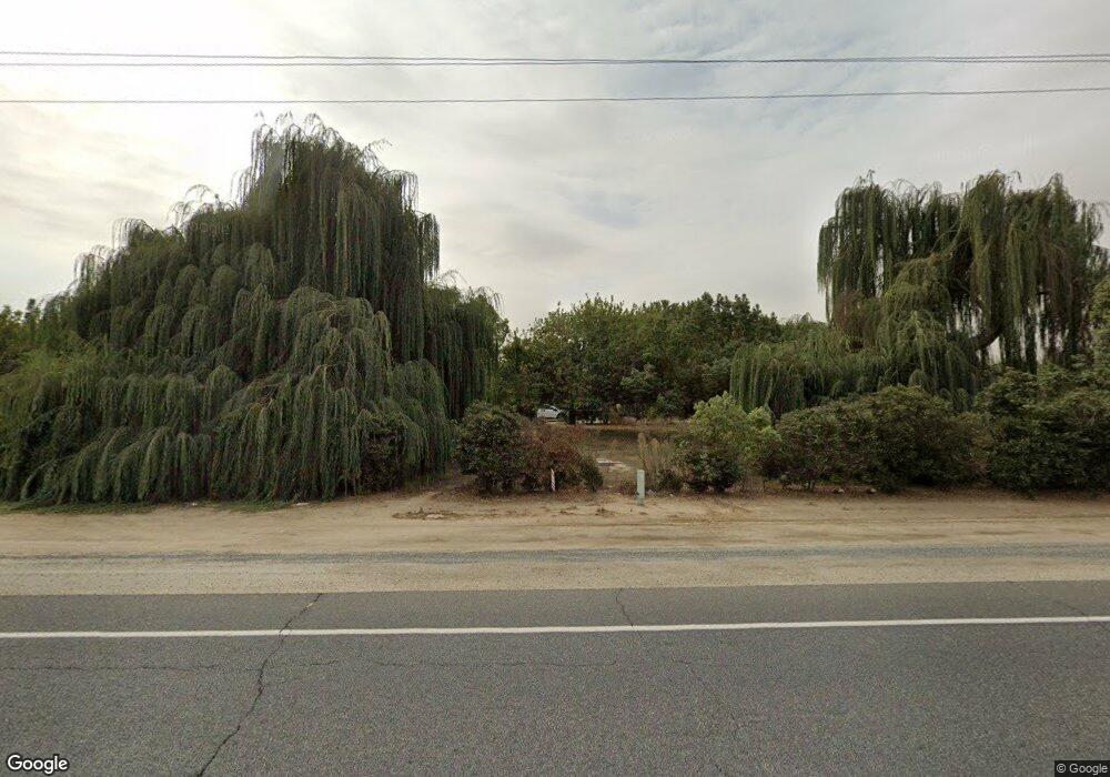
13339 Avenue 256 Tulare, CA 93274
Estimated Value: $764,281 - $1,536,000
3
Beds
3
Baths
4,123
Sq Ft
$249/Sq Ft
Est. Value
About This Home
This home is located at 13339 Avenue 256, Tulare, CA 93274 and is currently estimated at $1,027,427, approximately $249 per square foot. 13339 Avenue 256 is a home with nearby schools including Sundale Elementary School, Mission Oak High School, and Accelerated Charter High.
Ownership History
Date
Name
Owned For
Owner Type
Purchase Details
Closed on
Jan 10, 2018
Sold by
Alves Brothers General Partnership
Bought by
Frank Alves Jr Family Lp and Bernard Alves Family Lp
Current Estimated Value
Purchase Details
Closed on
Sep 26, 1994
Sold by
Wells Fargo Bank
Bought by
Alves Bernard C and Alves Martha M
Purchase Details
Closed on
Dec 1, 1993
Sold by
Alves Ida F and Alves Frank C
Bought by
Alves Bernard C and Alves Martha M
Home Financials for this Owner
Home Financials are based on the most recent Mortgage that was taken out on this home.
Original Mortgage
$62,206
Interest Rate
7.2%
Mortgage Type
Seller Take Back
Create a Home Valuation Report for This Property
The Home Valuation Report is an in-depth analysis detailing your home's value as well as a comparison with similar homes in the area
Home Values in the Area
Average Home Value in this Area
Purchase History
| Date | Buyer | Sale Price | Title Company |
|---|---|---|---|
| Frank Alves Jr Family Lp | -- | None Listed On Document | |
| Frank Alves Jr Family Lp | -- | None Listed On Document | |
| Alves Bernard C | -- | -- | |
| Alves Bernard C | $72,500 | -- |
Source: Public Records
Mortgage History
| Date | Status | Borrower | Loan Amount |
|---|---|---|---|
| Previous Owner | Alves Bernard C | $62,206 | |
| Closed | Alves Bernard C | $10,367 |
Source: Public Records
Tax History Compared to Growth
Tax History
| Year | Tax Paid | Tax Assessment Tax Assessment Total Assessment is a certain percentage of the fair market value that is determined by local assessors to be the total taxable value of land and additions on the property. | Land | Improvement |
|---|---|---|---|---|
| 2025 | $3,170 | $297,162 | $67,187 | $229,975 |
| 2024 | $3,170 | $291,336 | $65,870 | $225,466 |
| 2023 | $3,088 | $285,625 | $64,579 | $221,046 |
| 2022 | $2,996 | $280,025 | $63,313 | $216,712 |
| 2021 | $2,957 | $274,535 | $62,072 | $212,463 |
| 2020 | $2,995 | $271,720 | $61,436 | $210,284 |
| 2019 | $3,084 | $266,392 | $60,231 | $206,161 |
| 2018 | $3,023 | $261,169 | $59,050 | $202,119 |
| 2017 | $3,009 | $256,048 | $57,892 | $198,156 |
| 2016 | $2,878 | $251,028 | $56,757 | $194,271 |
| 2015 | $2,784 | $247,257 | $55,904 | $191,353 |
| 2014 | $2,784 | $242,414 | $54,809 | $187,605 |
Source: Public Records
Map
Nearby Homes
- 3012 N Oakmore St
- 26484 Mulanax Dr
- 3012 N Oakmore Rd
- 2852 Ruby Port St Unit Sor61
- 14999 Avenue 260
- 2828 Ruby Port St Unit Sor59
- 2840 Ruby Port St Unit Sor60
- 0 N Mooney Blvd
- 26814 S Mooney Blvd Unit D156
- 26814 S Mooney Blvd Unit B45
- 3116 Seymour St
- 3125 Seymour St
- 3637 Luke St
- 2090 Chancellor Ave
- 2827 Dorset St Unit Sor56
- 3126 Dorset St
- 2826 Dorset St Unit Sor35
- 2863 Dorset St Unit Sor53
- 2850 Dorset St Unit Sor37
- 2875 Dorset St Unit Sor52