13349 Forge Branch Dr Greensboro, MD 21639
Estimated Value: $392,000 - $486,000
4
Beds
2
Baths
2,392
Sq Ft
$185/Sq Ft
Est. Value
About This Home
This home is located at 13349 Forge Branch Dr, Greensboro, MD 21639 and is currently estimated at $442,958, approximately $185 per square foot. 13349 Forge Branch Dr is a home located in Caroline County with nearby schools including Greensboro Elementary School, Lockerman Middle School, and North Caroline High School.
Ownership History
Date
Name
Owned For
Owner Type
Purchase Details
Closed on
Mar 12, 2002
Sold by
Dodson Gregory Brook
Bought by
Dodson Gregory Brook and Dodson Lisa A
Current Estimated Value
Purchase Details
Closed on
Nov 17, 1997
Sold by
Szubinski Edward John
Bought by
Dodson Gregory Brook
Purchase Details
Closed on
Jul 26, 1989
Sold by
Hayman Edward L and Hayman Brenda L
Bought by
Szubinski Edward John
Create a Home Valuation Report for This Property
The Home Valuation Report is an in-depth analysis detailing your home's value as well as a comparison with similar homes in the area
Home Values in the Area
Average Home Value in this Area
Purchase History
| Date | Buyer | Sale Price | Title Company |
|---|---|---|---|
| Dodson Gregory Brook | -- | -- | |
| Dodson Gregory Brook | $138,700 | -- | |
| Szubinski Edward John | $18,500 | -- |
Source: Public Records
Mortgage History
| Date | Status | Borrower | Loan Amount |
|---|---|---|---|
| Closed | Dodson Gregory Brook | -- |
Source: Public Records
Tax History Compared to Growth
Tax History
| Year | Tax Paid | Tax Assessment Tax Assessment Total Assessment is a certain percentage of the fair market value that is determined by local assessors to be the total taxable value of land and additions on the property. | Land | Improvement |
|---|---|---|---|---|
| 2025 | $3,292 | $392,167 | $0 | $0 |
| 2024 | $3,292 | $369,200 | $74,800 | $294,400 |
| 2023 | $3,131 | $345,333 | $0 | $0 |
| 2022 | $2,968 | $321,467 | $0 | $0 |
| 2021 | $2,669 | $297,600 | $64,000 | $233,600 |
| 2020 | $2,669 | $269,933 | $0 | $0 |
| 2019 | $2,533 | $242,267 | $0 | $0 |
| 2018 | $2,403 | $214,600 | $64,000 | $150,600 |
| 2017 | $2,403 | $214,600 | $0 | $0 |
| 2016 | -- | $214,600 | $0 | $0 |
| 2015 | $2,703 | $252,700 | $0 | $0 |
| 2014 | $2,703 | $252,700 | $0 | $0 |
Source: Public Records
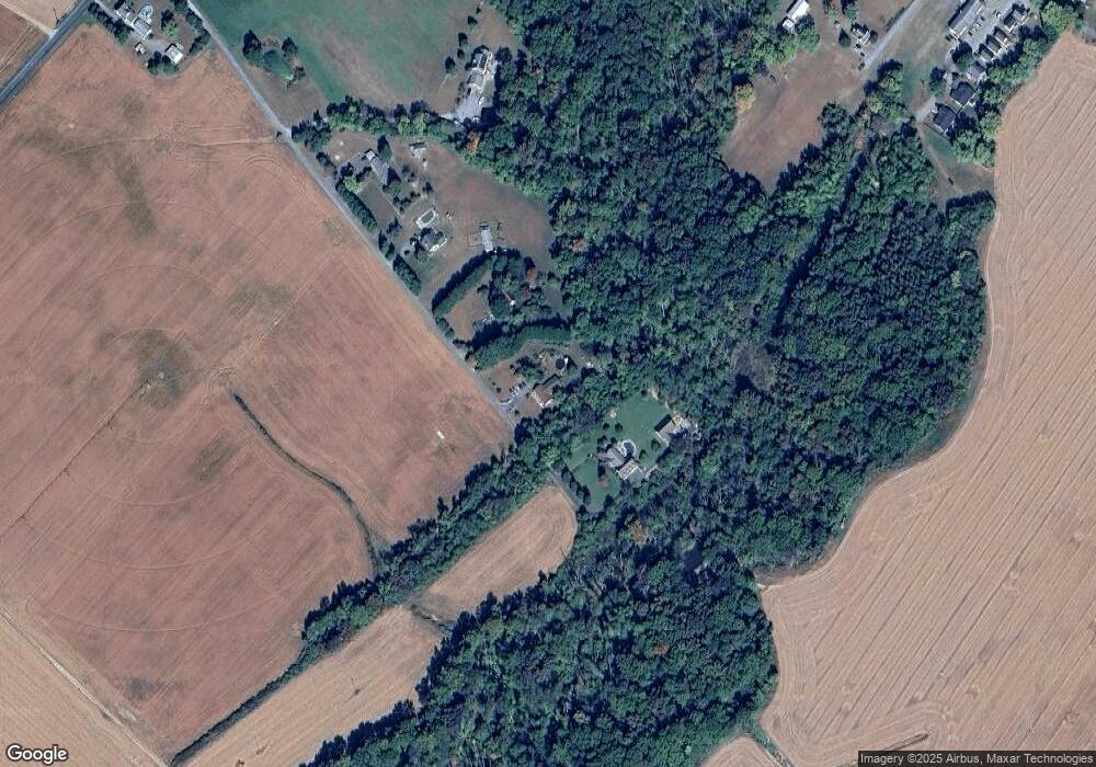
Map
Nearby Homes
- 707 W Sunset Ave
- 605 W Sunset Ave
- 603 W Sunset Ave
- 517 W Sunset Ave
- 102 Roe St
- 131 Hobbs St
- 511 Bernard Ave
- 113 Parkland Rd
- 121 Parkland Rd
- 125 Parkland Rd
- 402 LOT 2 W Sunset Ave
- 402 Lot 3 N S Sunset Ave
- 119 Parkland Rd
- 123 Parkland Rd
- 120 Parkland Rd
- 124 Parkland Rd
- SULLIVAN Plan at Kinnamon Meadows
- PERRY Plan at Kinnamon Meadows
- CURTIS Plan at Kinnamon Meadows
- HELENA Plan at Kinnamon Meadows
- 13361 Forge Branch Dr
- 13339 Forge Branch Dr
- 13379 Forge Branch Dr
- 13403 Forge Branch Dr
- 302 Granby St
- 13415 Forge Branch Dr
- 288 Wood Duck Dr
- 290 Wood Duck Dr
- 282 Wood Duck Dr
- 284 Wood Duck Dr
- 286 Wood Duck Dr
- 280 Wood Duck Dr
- 301 Cosden St
- 216 Granby St
- 214 Granby St
- 212 Granby St
- 210 Granby St
- 207 Granby St
- 208 Granby St
- 13457 Holly Rd