134 Capstone Mountain Way Elizabethton, TN 37643
Estimated Value: $341,000 - $444,000
4
Beds
3
Baths
2,422
Sq Ft
$167/Sq Ft
Est. Value
About This Home
This home is located at 134 Capstone Mountain Way, Elizabethton, TN 37643 and is currently estimated at $404,703, approximately $167 per square foot. 134 Capstone Mountain Way is a home located in Carter County.
Ownership History
Date
Name
Owned For
Owner Type
Purchase Details
Closed on
Jul 8, 2002
Sold by
Shell Thomas D
Bought by
Bennett Brenda
Current Estimated Value
Purchase Details
Closed on
Oct 30, 2001
Sold by
Shell Thomas
Bought by
Chontos Ronald
Purchase Details
Closed on
Aug 16, 2001
Sold by
Shell Thomas
Bought by
Henson Tina
Home Financials for this Owner
Home Financials are based on the most recent Mortgage that was taken out on this home.
Original Mortgage
$16,500
Interest Rate
7.08%
Purchase Details
Closed on
Jul 27, 2001
Sold by
Meredith Gary
Bought by
Shell Thomas
Home Financials for this Owner
Home Financials are based on the most recent Mortgage that was taken out on this home.
Original Mortgage
$16,500
Interest Rate
7.08%
Purchase Details
Closed on
Dec 28, 1965
Bought by
Meredith Ossie Range
Create a Home Valuation Report for This Property
The Home Valuation Report is an in-depth analysis detailing your home's value as well as a comparison with similar homes in the area
Home Values in the Area
Average Home Value in this Area
Purchase History
| Date | Buyer | Sale Price | Title Company |
|---|---|---|---|
| Bennett Brenda | $15,000 | -- | |
| Chontos Ronald | $40,500 | -- | |
| Henson Tina | $17,000 | -- | |
| Shell Thomas | $48,560 | -- | |
| Meredith Ossie Range | -- | -- |
Source: Public Records
Mortgage History
| Date | Status | Borrower | Loan Amount |
|---|---|---|---|
| Previous Owner | Meredith Ossie Range | $16,500 | |
| Previous Owner | Meredith Ossie Range | $48,560 |
Source: Public Records
Tax History Compared to Growth
Tax History
| Year | Tax Paid | Tax Assessment Tax Assessment Total Assessment is a certain percentage of the fair market value that is determined by local assessors to be the total taxable value of land and additions on the property. | Land | Improvement |
|---|---|---|---|---|
| 2024 | $1,331 | $62,050 | $11,900 | $50,150 |
| 2023 | $1,331 | $61,075 | $0 | $0 |
| 2022 | $1,240 | $61,075 | $11,900 | $49,175 |
| 2021 | $1,240 | $61,075 | $11,900 | $49,175 |
| 2020 | $1,327 | $61,075 | $11,900 | $49,175 |
| 2019 | $1,327 | $53,725 | $8,875 | $44,850 |
| 2018 | $1,327 | $53,725 | $8,875 | $44,850 |
| 2017 | $1,327 | $53,725 | $8,875 | $44,850 |
| 2016 | $1,316 | $53,725 | $8,875 | $44,850 |
| 2015 | $1,316 | $53,725 | $8,875 | $44,850 |
| 2014 | $1,304 | $53,225 | $8,900 | $44,325 |
Source: Public Records
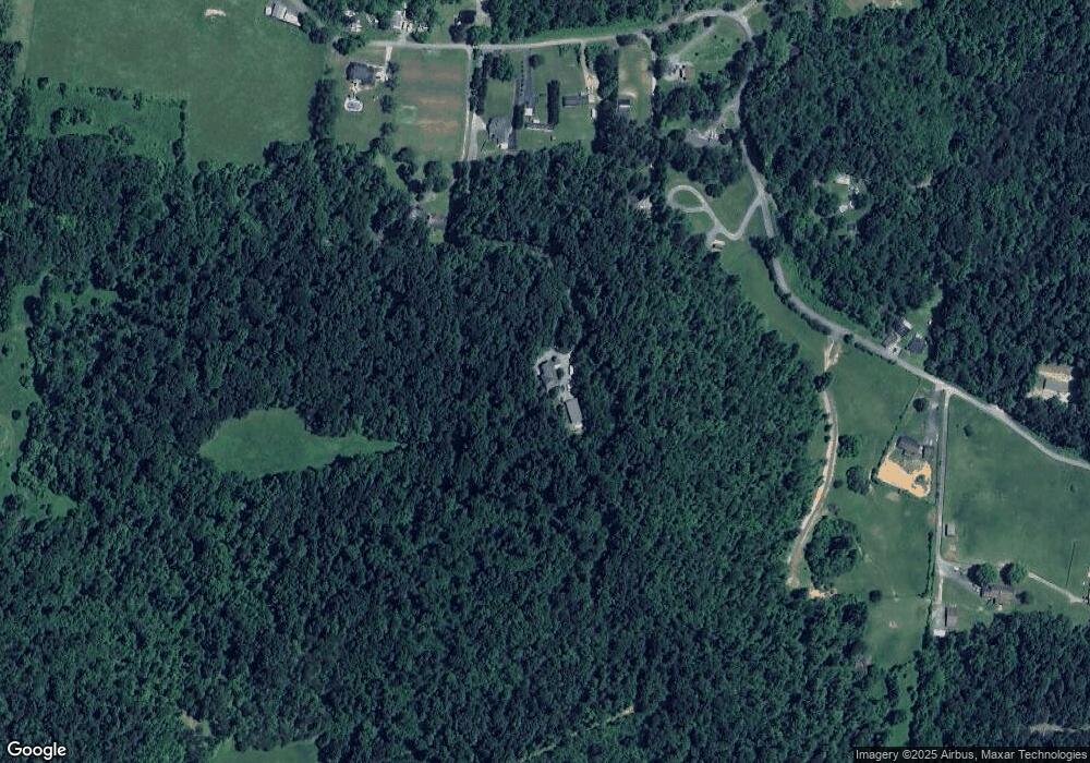
Map
Nearby Homes
- Tbd Cannon Hill Dr
- 133 Hickory Hollow Rd
- Lot 8 Emerald Hills Dr
- Lots 5&6 Emerald Hills Dr
- Lot 1 Emerald Hills Dr
- Lots 4567 Emerald Hills Dr
- 129 Jim Elliott Rd
- 113 Constitution Ave
- 118 Mountain View Cir
- 278 Long Hollow Rd
- 637 Long Hollow Rd
- 138 Lexington Ave
- 142 Earl Ave
- 1955 Gap Creek Rd
- 649 & 659 Gap Creek Rd
- 136 Ruby Ave
- Tbd Hampton Dr
- 720 Dugger Rd
- 2600 State Line Rd
- 1821 Woodhaven Dr
- 134 Capstone Mountain Way
- 210 Short Coal Chute Rd
- 194 Short Coal Chute Rd
- 206 Short Coal Chute Rd
- 234 Short Coal Chute Rd
- 00 Short Coal Chute Rd
- xx Short Coal Chute Rd
- LOT #2 Short Coal Chute Rd
- LOT #1 Short Coal Chute Rd
- LOT #5 Short Coal Chute Rd
- LOT #3 Short Coal Chute Rd
- 212&214 Short Coal Chute Rd
- 228 Short Coal Chute Rd
- TBD Short Coal Chute Rd
- 180 Short Coal Chute Rd
- 180 Short Coal Chute Rd
- 191 Short Coal Chute Rd
- 274 Short Coal Chute Rd
- 271 Short Coal Chute Rd
- 181 Short Coal Chute Rd