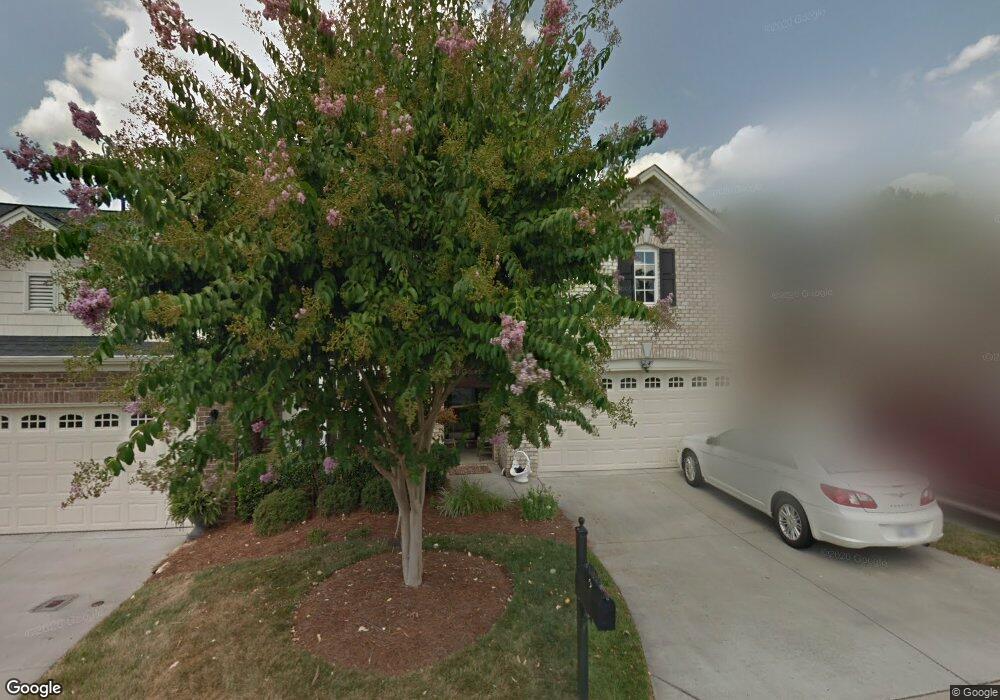
134 Collingswood Dr Winston Salem, NC 27127
Estimated Value: $310,373 - $352,000
3
Beds
2
Baths
2,125
Sq Ft
$155/Sq Ft
Est. Value
About This Home
This home is located at 134 Collingswood Dr, Winston Salem, NC 27127 and is currently estimated at $328,843, approximately $154 per square foot. 134 Collingswood Dr is a home with nearby schools including Friedberg Elementary School, Oak Grove Middle School, and Oak Grove High School.
Ownership History
Date
Name
Owned For
Owner Type
Purchase Details
Closed on
Oct 5, 2023
Sold by
Moore Kaye M
Bought by
Moore Kaye M and Porter Darrin Gray
Current Estimated Value
Purchase Details
Closed on
Oct 9, 2007
Sold by
Cambridge Isenhour Homes Inc
Bought by
Moore Kaye M
Home Financials for this Owner
Home Financials are based on the most recent Mortgage that was taken out on this home.
Original Mortgage
$69,500
Interest Rate
6.27%
Mortgage Type
Purchase Money Mortgage
Create a Home Valuation Report for This Property
The Home Valuation Report is an in-depth analysis detailing your home's value as well as a comparison with similar homes in the area
Home Values in the Area
Average Home Value in this Area
Purchase History
| Date | Buyer | Sale Price | Title Company |
|---|---|---|---|
| Moore Kaye M | $2,500 | None Listed On Document | |
| Moore Kaye M | $2,500 | None Listed On Document | |
| Moore Kaye M | $189,500 | None Available |
Source: Public Records
Mortgage History
| Date | Status | Borrower | Loan Amount |
|---|---|---|---|
| Previous Owner | Moore Kaye M | $69,500 |
Source: Public Records
Tax History Compared to Growth
Tax History
| Year | Tax Paid | Tax Assessment Tax Assessment Total Assessment is a certain percentage of the fair market value that is determined by local assessors to be the total taxable value of land and additions on the property. | Land | Improvement |
|---|---|---|---|---|
| 2025 | $1,308 | $201,170 | $0 | $0 |
| 2024 | $1,268 | $201,170 | $0 | $0 |
| 2023 | $1,268 | $201,170 | $0 | $0 |
| 2022 | $1,229 | $201,170 | $0 | $0 |
| 2021 | $1,229 | $201,170 | $0 | $0 |
| 2020 | $1,099 | $179,950 | $0 | $0 |
| 2019 | $1,116 | $179,950 | $0 | $0 |
| 2018 | $1,116 | $179,950 | $0 | $0 |
| 2017 | $1,116 | $179,950 | $0 | $0 |
| 2016 | $1,116 | $179,950 | $0 | $0 |
| 2015 | $1,116 | $179,950 | $0 | $0 |
| 2014 | $1,189 | $191,840 | $0 | $0 |
Source: Public Records
Map
Nearby Homes
- 281 Collingswood Dr
- 429 Mendenhall Dr
- 395 Widaustin Dr
- 618 Widaustin Dr
- 748 Widaustin Dr
- 400 Southlake Ct
- 249 Pipers Ridge E
- 157 Owl Ln
- 231 Vine Ridge Dr
- 150 Owl Ln
- 256 Vine Ridge Dr
- 156 Sentry Ct
- 293 Vine Ridge Dr
- 304 Vine Ridge Dr
- 296 Vine Ridge Dr
- 278 Vine Ridge Dr
- 167 Candytuft Ct
- 159 Candytuft Ct
- 151 Candytuft Ct
- 145 Candytuft Ct
- 142 Collingswood Dr
- 126 Collingswood Dr
- 118 Collingswood Dr
- 143 Collingswood Dr
- 104 Warrington Ct
- 110 Collingswood Dr
- 151 Collingswood Dr
- 117 Collingswood Dr
- 159 Collingswood Dr
- 102 Collingswood Dr
- 112 Warrington Ct
- 109 Collingswood Dr
- 104 Rierson Farms
- 104 Rierson Farm
- 101 Collingswood Dr
- 167 Collingswood Dr
- 120 Warrington Ct
- 111 Warrington Ct
- 119 Warrington Ct
- 183 Collingswood Dr