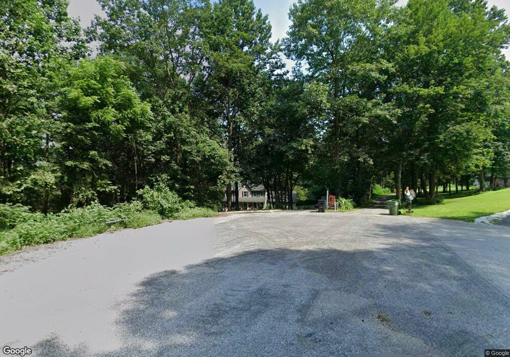
134 Dale Dr Fawn Grove, PA 17321
Estimated Value: $482,191 - $664,000
4
Beds
3
Baths
2,230
Sq Ft
$263/Sq Ft
Est. Value
About This Home
This home is located at 134 Dale Dr, Fawn Grove, PA 17321 and is currently estimated at $586,298, approximately $262 per square foot. 134 Dale Dr is a home located in York County with nearby schools including South Eastern Intermediate School, South Eastern Middle School, and Kennard-Dale High School.
Ownership History
Date
Name
Owned For
Owner Type
Purchase Details
Closed on
Aug 13, 2004
Sold by
Torbert Dale A and Torbert Barbara D J
Bought by
White Gregory S and White Leeann J
Current Estimated Value
Home Financials for this Owner
Home Financials are based on the most recent Mortgage that was taken out on this home.
Original Mortgage
$270,750
Outstanding Balance
$143,184
Interest Rate
6.03%
Mortgage Type
Purchase Money Mortgage
Estimated Equity
$443,114
Create a Home Valuation Report for This Property
The Home Valuation Report is an in-depth analysis detailing your home's value as well as a comparison with similar homes in the area
Home Values in the Area
Average Home Value in this Area
Purchase History
| Date | Buyer | Sale Price | Title Company |
|---|---|---|---|
| White Gregory S | $75,000 | -- |
Source: Public Records
Mortgage History
| Date | Status | Borrower | Loan Amount |
|---|---|---|---|
| Open | White Gregory S | $270,750 |
Source: Public Records
Tax History Compared to Growth
Tax History
| Year | Tax Paid | Tax Assessment Tax Assessment Total Assessment is a certain percentage of the fair market value that is determined by local assessors to be the total taxable value of land and additions on the property. | Land | Improvement |
|---|---|---|---|---|
| 2025 | $8,506 | $284,480 | $66,150 | $218,330 |
| 2024 | $8,506 | $284,480 | $66,150 | $218,330 |
| 2023 | $8,506 | $284,480 | $66,150 | $218,330 |
| 2022 | $8,506 | $284,480 | $66,150 | $218,330 |
| 2021 | $8,222 | $284,480 | $66,150 | $218,330 |
| 2020 | $8,222 | $284,480 | $66,150 | $218,330 |
| 2019 | $8,193 | $284,480 | $66,150 | $218,330 |
| 2018 | $8,193 | $284,480 | $66,150 | $218,330 |
| 2017 | $8,193 | $284,480 | $66,150 | $218,330 |
| 2016 | $0 | $284,480 | $66,150 | $218,330 |
| 2015 | -- | $284,480 | $66,150 | $218,330 |
| 2014 | -- | $284,480 | $66,150 | $218,330 |
Source: Public Records
Map
Nearby Homes
- 370 High Rock Rd
- 387 Garvine Mill Rd
- Lot 4 Ridge Rd
- 1081 Bridgeton Rd
- 8290 Woodbine Rd
- 9377 Hickory Rd
- 0 Dogwood Rd
- 53 Dogwood Rd
- 31 N Market St
- 63 Cherry Rd
- Parcel 859 Neill Run Rd
- 46 Corn Tassel Rd
- 76 Laurel Dr
- 0 Highview Dr
- 45 Wenzel Rd
- 15792 Cross Mill Rd
- 267 Cook Rd
- 194 Cook Rd
- 216 Meadow Trail
- 1701 Scott Rd