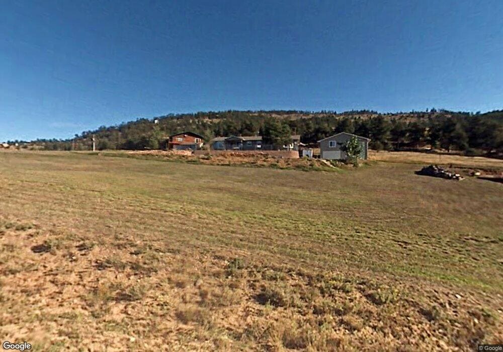
134 Greenwood Dr Loveland, CO 80537
Estimated Value: $553,000 - $764,000
3
Beds
2
Baths
1,557
Sq Ft
$412/Sq Ft
Est. Value
About This Home
This home is located at 134 Greenwood Dr, Loveland, CO 80537 and is currently estimated at $641,233, approximately $411 per square foot. 134 Greenwood Dr is a home located in Larimer County with nearby schools including Big Thompson Elementary School, Walt Clark Middle School, and Thompson Valley High School.
Ownership History
Date
Name
Owned For
Owner Type
Purchase Details
Closed on
Nov 28, 2001
Sold by
Campbell Oren H and Campbell Ruth E
Bought by
Dees Irvin Herman and Dees Norma Lee
Current Estimated Value
Home Financials for this Owner
Home Financials are based on the most recent Mortgage that was taken out on this home.
Original Mortgage
$92,000
Interest Rate
6.04%
Purchase Details
Closed on
Apr 1, 1992
Sold by
Nobi Donna M
Bought by
Campbell Oren H Trustee
Create a Home Valuation Report for This Property
The Home Valuation Report is an in-depth analysis detailing your home's value as well as a comparison with similar homes in the area
Home Values in the Area
Average Home Value in this Area
Purchase History
| Date | Buyer | Sale Price | Title Company |
|---|---|---|---|
| Dees Irvin Herman | $165,000 | Land Title Guarantee Company | |
| Campbell Oren H Trustee | $56,400 | -- |
Source: Public Records
Mortgage History
| Date | Status | Borrower | Loan Amount |
|---|---|---|---|
| Closed | Dees Irvin Herman | $92,000 |
Source: Public Records
Tax History Compared to Growth
Tax History
| Year | Tax Paid | Tax Assessment Tax Assessment Total Assessment is a certain percentage of the fair market value that is determined by local assessors to be the total taxable value of land and additions on the property. | Land | Improvement |
|---|---|---|---|---|
| 2025 | $2,913 | $46,156 | $8,710 | $37,446 |
| 2024 | $2,811 | $46,156 | $8,710 | $37,446 |
| 2022 | $2,108 | $33,687 | $5,560 | $28,127 |
| 2021 | $2,163 | $34,656 | $5,720 | $28,936 |
| 2020 | $1,743 | $30,066 | $3,146 | $26,920 |
| 2019 | $1,705 | $30,066 | $3,146 | $26,920 |
| 2018 | $1,482 | $25,978 | $2,844 | $23,134 |
| 2017 | $1,260 | $25,978 | $2,844 | $23,134 |
| 2016 | $1,021 | $22,543 | $2,786 | $19,757 |
| 2015 | $1,013 | $22,550 | $2,790 | $19,760 |
| 2014 | $863 | $19,960 | $2,390 | $17,570 |
Source: Public Records
Map
Nearby Homes
- 60 Sylvia Ct
- 230 Green Mountain Dr
- 321 Greenwood Dr
- 834 Green Mountain Dr
- 291 Newell Dr
- 555 James Park Trail
- 12422 W County Road 18 E
- 965 Stone Mountain Ranch Rd
- 16235 W County Road 18 E
- 16324 W County Road 18e
- 952 Skinner Gulch Rd
- 729 Sawmill Rd
- 3600 Blue Mountain Trail
- 3204 Indian Blind Trail
- 2420 Ponderosa Hill Rd
- 9209 Four Wheel Dr
- 681 Bitterroot Gulch Rd
- 0 Tbd Bartram Park Rd
- 400 Rugged Rock Rd
- 38 Jasper Lake Rd
- 168 Greenwood Dr
- 163 Greenwood Dr
- 176 Greenwood Dr
- 177 Green Mountain Dr
- 201 Green Mountain Dr
- 18 Sylvia Ct
- 206 Greenwood Dr
- 157 Greenwood Dr
- 79 Green Mountain Dr
- 171 Greenwood Dr
- 15 Sylvia Ct
- 190 Green Mountain Dr
- 45 Sylvia Ct
- 14231 W County Road 18 E
- 79 Greenwood Dr
- 249 Green Mountain Dr
- 19 Green Mountain Dr
- 234 Greenwood Dr
- 241 Greenwood Dr
- 68 Sylvia Ct