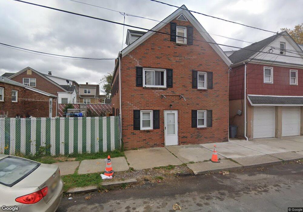
134 Heald St Carteret, NJ 07008
Estimated Value: $611,643 - $751,000
--
Bed
--
Bath
2,516
Sq Ft
$262/Sq Ft
Est. Value
About This Home
This home is located at 134 Heald St, Carteret, NJ 07008 and is currently estimated at $658,661, approximately $261 per square foot. 134 Heald St is a home located in Middlesex County with nearby schools including Carteret High School and St Joseph School.
Ownership History
Date
Name
Owned For
Owner Type
Purchase Details
Closed on
Jan 20, 2021
Sold by
Delrio Rene
Bought by
Virk Apartments Llc
Current Estimated Value
Home Financials for this Owner
Home Financials are based on the most recent Mortgage that was taken out on this home.
Original Mortgage
$277,500
Outstanding Balance
$247,408
Interest Rate
2.65%
Mortgage Type
Commercial
Estimated Equity
$411,253
Purchase Details
Closed on
Sep 21, 2010
Sold by
Delrio Rene and Delrio Del Rio
Bought by
Delrio Rene
Purchase Details
Closed on
Mar 17, 1994
Sold by
Dombol Michael
Bought by
Delrio Rene and Delrio Del Rio
Create a Home Valuation Report for This Property
The Home Valuation Report is an in-depth analysis detailing your home's value as well as a comparison with similar homes in the area
Home Values in the Area
Average Home Value in this Area
Purchase History
| Date | Buyer | Sale Price | Title Company |
|---|---|---|---|
| Virk Apartments Llc | $370,000 | Foundation Title Llc | |
| Delrio Rene | -- | None Available | |
| Delrio Rene | $80,000 | -- |
Source: Public Records
Mortgage History
| Date | Status | Borrower | Loan Amount |
|---|---|---|---|
| Open | Virk Apartments Llc | $277,500 |
Source: Public Records
Tax History Compared to Growth
Tax History
| Year | Tax Paid | Tax Assessment Tax Assessment Total Assessment is a certain percentage of the fair market value that is determined by local assessors to be the total taxable value of land and additions on the property. | Land | Improvement |
|---|---|---|---|---|
| 2025 | $8,732 | $621,500 | $298,800 | $322,700 |
| 2024 | $8,507 | $273,900 | $72,500 | $201,400 |
| 2023 | $8,507 | $273,900 | $72,500 | $201,400 |
| 2022 | $8,272 | $273,900 | $72,500 | $201,400 |
| 2021 | $7,877 | $273,900 | $72,500 | $201,400 |
| 2020 | $7,877 | $273,900 | $72,500 | $201,400 |
| 2019 | $7,650 | $273,900 | $72,500 | $201,400 |
| 2018 | $7,469 | $273,900 | $72,500 | $201,400 |
| 2017 | $7,204 | $273,900 | $72,500 | $201,400 |
| 2016 | $7,781 | $245,700 | $62,500 | $183,200 |
| 2015 | $7,668 | $245,700 | $62,500 | $183,200 |
| 2014 | $7,334 | $245,700 | $62,500 | $183,200 |
Source: Public Records
Map
Nearby Homes
- 699 Roosevelt Ave
- 703 Roosevelt Ave
- 44 Liberty St
- 44 Liberty St Unit 1
- 44 Liberty St Unit 5
- 44 Liberty St Unit 4
- 44 Liberty St Unit 6
- 44 Liberty St Unit 3
- 44 Liberty St Unit 2
- 46 Liberty St
- 36 Liberty St
- 697 Roosevelt Ave
- 697 Roosevelt Ave Unit 2
- 697 Roosevelt Ave Unit 1
- 48 Liberty St
- 50 Liberty St
- 132 Heald St
- 132 Heald St Unit 1
- 695A Roosevelt Ave
- 52 Liberty St