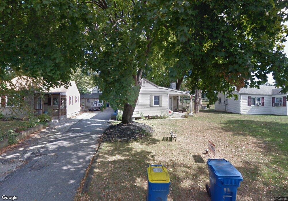
134 Rebel Rd King of Prussia, PA 19406
Estimated Value: $364,797 - $396,000
3
Beds
2
Baths
1,371
Sq Ft
$277/Sq Ft
Est. Value
About This Home
This home is located at 134 Rebel Rd, King of Prussia, PA 19406 and is currently estimated at $379,449, approximately $276 per square foot. 134 Rebel Rd is a home located in Montgomery County with nearby schools including Candlebrook Elementary School, Upper Merion Middle School, and Upper Merion High School.
Ownership History
Date
Name
Owned For
Owner Type
Purchase Details
Closed on
May 25, 2007
Sold by
Phifer Diana M and Phifer Wade R
Bought by
Wilde Robert and Wilde Lori Kocur
Current Estimated Value
Home Financials for this Owner
Home Financials are based on the most recent Mortgage that was taken out on this home.
Original Mortgage
$245,000
Outstanding Balance
$149,026
Interest Rate
6.17%
Estimated Equity
$230,423
Purchase Details
Closed on
Aug 13, 1997
Sold by
Binns Walter James and Binns Gail Marie
Bought by
Phifer Wade R and Phifer Diana M
Create a Home Valuation Report for This Property
The Home Valuation Report is an in-depth analysis detailing your home's value as well as a comparison with similar homes in the area
Home Values in the Area
Average Home Value in this Area
Purchase History
| Date | Buyer | Sale Price | Title Company |
|---|---|---|---|
| Wilde Robert | $245,000 | None Available | |
| Phifer Wade R | $119,900 | -- |
Source: Public Records
Mortgage History
| Date | Status | Borrower | Loan Amount |
|---|---|---|---|
| Open | Wilde Robert | $245,000 |
Source: Public Records
Tax History Compared to Growth
Tax History
| Year | Tax Paid | Tax Assessment Tax Assessment Total Assessment is a certain percentage of the fair market value that is determined by local assessors to be the total taxable value of land and additions on the property. | Land | Improvement |
|---|---|---|---|---|
| 2025 | $3,599 | $116,780 | $49,310 | $67,470 |
| 2024 | $3,599 | $116,780 | $49,310 | $67,470 |
| 2023 | $3,472 | $116,780 | $49,310 | $67,470 |
| 2022 | $3,323 | $116,780 | $49,310 | $67,470 |
| 2021 | $3,220 | $116,780 | $49,310 | $67,470 |
| 2020 | $3,077 | $116,780 | $49,310 | $67,470 |
| 2019 | $3,024 | $116,780 | $49,310 | $67,470 |
| 2018 | $3,025 | $116,780 | $49,310 | $67,470 |
| 2017 | $2,916 | $116,780 | $49,310 | $67,470 |
| 2016 | $2,870 | $116,780 | $49,310 | $67,470 |
| 2015 | $2,764 | $116,780 | $49,310 | $67,470 |
| 2014 | $2,764 | $116,780 | $49,310 | $67,470 |
Source: Public Records
Map
Nearby Homes
- 413 Brandywine Ln
- 501 W Dekalb Pike
- 422 Bluebuff Rd
- 612 Brewster Alley Unit 74
- 608 Brewster Alley
- 191 Gunport Rd
- 227 Crossfield Rd
- 200 Prince Frederick St Unit J3
- 391 Prince Frederick St
- 545 Kingwood Rd
- 104 Tyler Rd
- 610 Charles Dr
- 112 Ivy Ln
- 245 Chapel Ln Unit 80B
- 407 Chestnut Way
- 251 Chapel Ln Unit 83B
- 243 Chapel Ln Unit 79A
- 346 W Church Rd
- 108 Anderson Rd
- 313 Aspen Way Unit HS 164- BRENTFORD