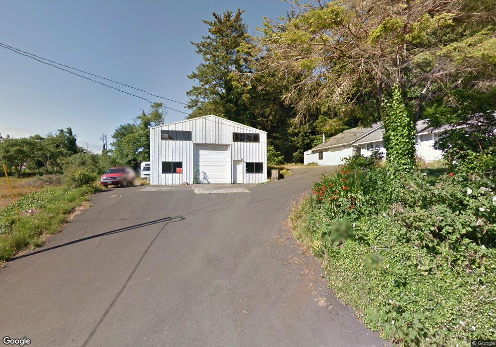
1345 SE 23rd Dr Lincoln City, OR 97367
Estimated Value: $762,064
3
Beds
2
Baths
5,000
Sq Ft
$152/Sq Ft
Est. Value
About This Home
This home is located at 1345 SE 23rd Dr, Lincoln City, OR 97367 and is currently estimated at $762,064, approximately $152 per square foot. 1345 SE 23rd Dr is a home located in Lincoln County with nearby schools including Taft Elementary School, Oceanlake Elementary School, and Taft High School.
Ownership History
Date
Name
Owned For
Owner Type
Purchase Details
Closed on
Dec 30, 2015
Sold by
Jean Test Michael B and Jean Celia
Bought by
Carlson Elizabeth Kimball and Kehr Shawnn Michiel Andreas
Current Estimated Value
Home Financials for this Owner
Home Financials are based on the most recent Mortgage that was taken out on this home.
Original Mortgage
$320,000
Outstanding Balance
$254,336
Interest Rate
3.94%
Mortgage Type
Seller Take Back
Estimated Equity
$507,728
Purchase Details
Closed on
Jan 17, 2014
Sold by
Meyer James E and Meyer Deborah A
Bought by
Test Michael B and Celia Jean
Create a Home Valuation Report for This Property
The Home Valuation Report is an in-depth analysis detailing your home's value as well as a comparison with similar homes in the area
Home Values in the Area
Average Home Value in this Area
Purchase History
| Date | Buyer | Sale Price | Title Company |
|---|---|---|---|
| Carlson Elizabeth Kimball | $320,000 | Western Title & Escrow | |
| Test Michael B | $300,000 | Stewart Title |
Source: Public Records
Mortgage History
| Date | Status | Borrower | Loan Amount |
|---|---|---|---|
| Open | Carlson Elizabeth Kimball | $320,000 |
Source: Public Records
Tax History Compared to Growth
Tax History
| Year | Tax Paid | Tax Assessment Tax Assessment Total Assessment is a certain percentage of the fair market value that is determined by local assessors to be the total taxable value of land and additions on the property. | Land | Improvement |
|---|---|---|---|---|
| 2024 | $5,623 | $329,810 | -- | -- |
| 2023 | $5,468 | $320,210 | $0 | $0 |
| 2022 | $5,315 | $310,890 | $0 | $0 |
| 2021 | $5,063 | $301,840 | $0 | $0 |
| 2020 | $4,913 | $293,050 | $0 | $0 |
| 2019 | $4,714 | $284,520 | $0 | $0 |
| 2018 | $4,715 | $278,820 | $0 | $0 |
| 2017 | $4,512 | $270,700 | $0 | $0 |
| 2016 | $4,232 | $262,820 | $0 | $0 |
| 2015 | $4,137 | $255,170 | $0 | $0 |
Source: Public Records
Map
Nearby Homes
- 1423 SE 23rd Dr
- 2273 SW Hwy 101
- 1966 SW Galley Ct
- 2513 SW Dune Ave
- 1502 SE Marine Ave
- 1851 SE Oar Dr
- 1218 SW 16th St
- 2240 SE Highway 101
- 2539 SW Coral Loop
- 1496 SE Marine Ave
- 784 SW 28th Ct
- 2700 Blk Sw Coast Avenue Tl1300
- 2223 SW Coast Ave
- 2209 SW Coast Ave
- 1800 BLk SE Oar Dr Unit TL 4100
- 2700 blk SW Dune Ct
- 2591 SW Barnacle Ave
- 2685 SW Beach Ave
- 2729 SW Coast Ave
- 2325 SW Bard Loop
- 1332 SE 23rd Dr
- -1 SW Highway 101
- 2254 SW Highway 101
- 2240 SW Highway 101
- 2204 SE Hwy 101 Parcel A
- 2204 SE Hwy 101 Parcel B
- 2204 SE Highway 101
- 2204 SE Highway 101
- 2204 SE Highway 101
- 2204 SE Highway 101
- 2273 SW Highway 101
- 2363 SW Driftwood Ln
- 2375 SW Driftwood Ln
- 2327 SW Driftwood Ln
- 2215 SE Highway 101
- 2215 SW Highway 101
- 2314 SW Bard Rd
- 2150 SE Highway 101
- 2150 Coast Hwy 101
- * NW Lee Ave