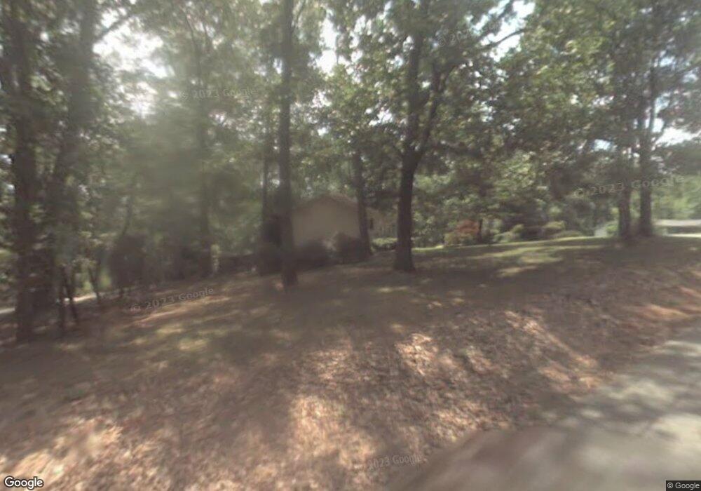
1349 Reese Rd Woodstock, GA 30188
Union Hill NeighborhoodEstimated Value: $430,874 - $717,000
3
Beds
3
Baths
2,996
Sq Ft
$184/Sq Ft
Est. Value
About This Home
This home is located at 1349 Reese Rd, Woodstock, GA 30188 and is currently estimated at $552,719, approximately $184 per square foot. 1349 Reese Rd is a home located in Cherokee County with nearby schools including Mountain Road Elementary School, Rusk Middle School, and Sequoyah High School.
Ownership History
Date
Name
Owned For
Owner Type
Purchase Details
Closed on
Jul 1, 1999
Sold by
Hafley William C and Hafley Freda M
Bought by
Mclain J David J and Mclain Nancy L
Current Estimated Value
Purchase Details
Closed on
Mar 31, 1995
Sold by
Wilbanks Dolphus W Edna L
Bought by
Hafley William C Freda M
Create a Home Valuation Report for This Property
The Home Valuation Report is an in-depth analysis detailing your home's value as well as a comparison with similar homes in the area
Home Values in the Area
Average Home Value in this Area
Purchase History
| Date | Buyer | Sale Price | Title Company |
|---|---|---|---|
| Mclain J David J | $128,000 | -- | |
| Hafley William C Freda M | $95,000 | -- |
Source: Public Records
Mortgage History
| Date | Status | Borrower | Loan Amount |
|---|---|---|---|
| Closed | Hafley William C Freda M | $0 |
Source: Public Records
Tax History Compared to Growth
Tax History
| Year | Tax Paid | Tax Assessment Tax Assessment Total Assessment is a certain percentage of the fair market value that is determined by local assessors to be the total taxable value of land and additions on the property. | Land | Improvement |
|---|---|---|---|---|
| 2024 | $3,664 | $140,976 | $16,440 | $124,536 |
| 2023 | $3,644 | $140,224 | $13,720 | $126,504 |
| 2022 | $2,630 | $100,080 | $13,720 | $86,360 |
| 2021 | $2,245 | $79,080 | $12,040 | $67,040 |
| 2020 | $2,013 | $70,840 | $10,960 | $59,880 |
| 2019 | $2,008 | $70,680 | $10,960 | $59,720 |
| 2018 | $1,933 | $67,600 | $10,960 | $56,640 |
| 2017 | $1,971 | $171,000 | $10,960 | $57,440 |
| 2016 | $1,854 | $159,200 | $10,440 | $53,240 |
| 2015 | $1,519 | $129,200 | $10,440 | $41,240 |
| 2014 | $1,441 | $122,300 | $8,640 | $40,280 |
Source: Public Records
Map
Nearby Homes
- 440 Julie Anne Way
- 214 Kingsley Way
- 619 Stoney Creek Rd
- 234 Aberdeen Way
- 239 Aberdeen Way
- 1005 Liberty Springs Dr
- 4297 Earney Rd
- 210 River Laurel Way
- 00 Hickory Flat Hwy
- 1025 Liberty Springs Dr
- The Wesleyan Plan at Liberty Springs
- 136 Plantation Trace
- 533 Mountain Rd
- 245 River Laurel Way Unit 1
- 4400 Earney Rd
- 1058 Arnold Mill Rd
- 205 Stone Creek Ct
- 402 W Leslie Ct
- 127 Riverlake Dr
- 1353 Reece Rd
- 1353 Reece Trail
- 1346 Reece Trail
- 1346 Reese Rd
- 1346 Reece Rd
- 1336 Reece Rd
- 1336 Reese Rd
- 100 Mclain Trail
- 1328 Reece Rd
- 1329 Reece Rd
- 1368 Reece Rd
- 1368 Reece Rd
- 00 Reece Rd
- 1340 Reece Rd
- 1331 Reece Rd
- 1325 Reese Rd
- 1345 Reece Rd
- 1345 Reece Rd
- 0 Reece Unit 7140127
- 0 Reece Unit 7269538
